Ready to explore this trail?
View Trail Map in AppNote there is an entrance fee in operation at the State Park year round.
Path Type
Point to Point
To reach the Panhandle Multi-use Trail from the its start, turn left upon entering the park. Follow Occoneechee Park Road around to the right and ignore the first turn off on the left which is marked for the Cabins and Equestrian campground. Just after the road marked for the Campgrounds on the right hand side, there should be a small parking area on the left hand side of the road with a gravel surface, and an information sign. Park here to start the Panhandle Multi-use Trail. Follow the white blazes of the Panhandle Multi-use Trail.
The trail winds its way south and east roughly paralleling Panhandle Road. Once you reach the large horse parking area about 2.2 miles in, continue following the trail (another trail sign can be found by the picnic tables next to an information sign and the day use parking area to the left of the horse parking area) which skirts around the horse parking area and exits by a gate at the end of the parking area. Take the wide horse trail to the left for about 0.5 mile. The first signpost encountered is marked for the Panhandle Lake Loops Trail on the right hand side of the trail. Stay left to continue on the main trail.
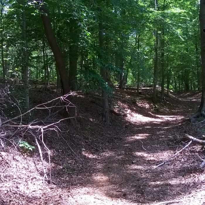
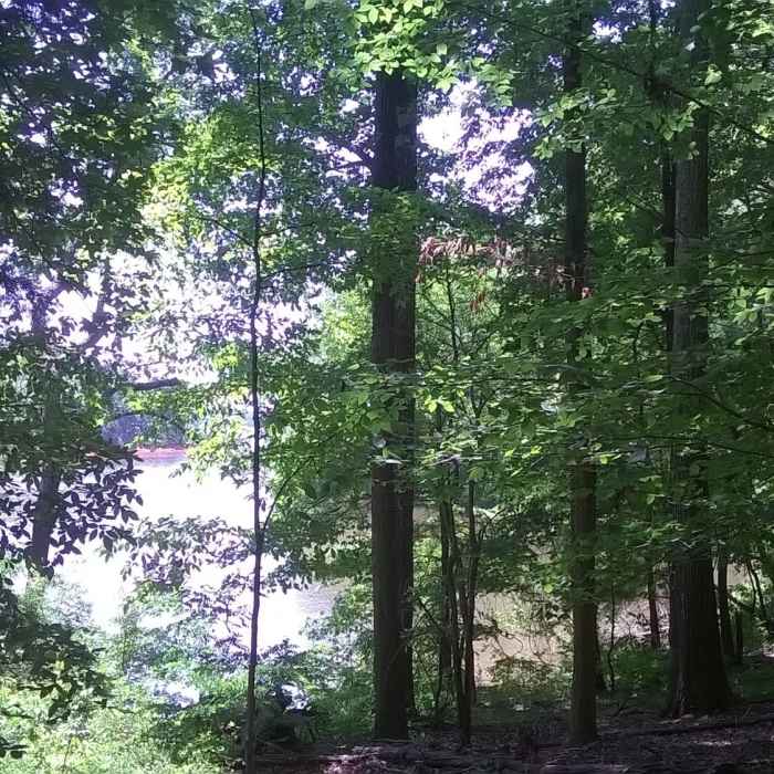
The Panhandle Multi-use Trail is mainly a wide track. Most of it is gentle up and down with mixed hardwoods. The trail follows the coastline for several miles although it offers no views. Even at its terminus (marked by a wooden bench and a place to secure horses) there is only a minor opening to see out to the water.
No Condition Reports
Beaver Pond and Panhandle Loop
Beaver Pond and Panhandle Loop
River Bank and Twin Loops Trails
River Bank and Twin Loops Trails
Ledge Creek Forest Conservation Area
Ledge Creek Forest Conservation Area
Creedmoor Cross City Trail
Creedmoor Cross City Trail
Horton Grove Nature Preserve Loop
Horton Grove Nature Preserve Loop
Little River 5+ Loop
Little River 5+ Loop
Contributors

