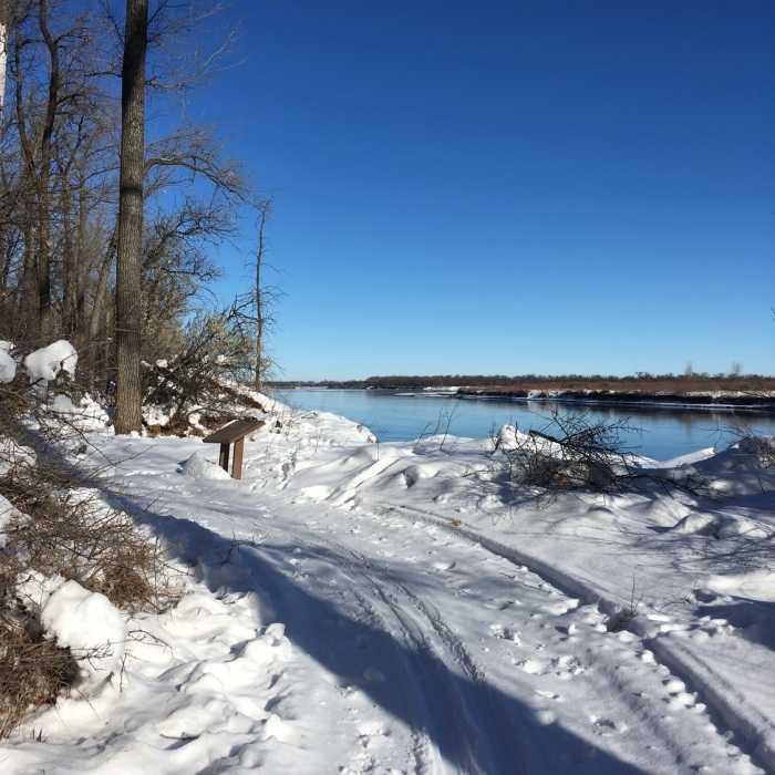

Near Ma-ak-oti Trail Upper Loop
Winter breathes new life into the Cross Ranch State Park Interpretive Trail.
Near Ma-ak-oti Trail Upper Loop
The Ma-ak-oti Trail Loop follows along the Missouri River.

Looking for more photos?

View All Photos
Driving Directions
Hike Trail

Ma-ak-oti Trail Upper Loop

3.0 (1 Rating)
Hike through a cottonwood forest along the Missouri River.
1.3
mi
Distance
103
ft
Gain
easy
Difficulty
BirdingFall ColorsFamily FriendlyRiver/CreekSpringWildflowersWildlife

Route Details

Flatter
Steeper
1.3mi
Distance
103ft
Elevation Gain
103ft
Elevation Loss
20%
Max Grade
1,699ft
High Point
1,653ft
Low Point
Path Type
Loop
Description
This is an easy, flat loop that takes one through the cottonwood forest along the Missouri River in Cross Ranch State Park. It can be accessed by taking the Interpretive Trail south from the main parking lot near the visitor center, then taking a short connector trail to the south. The west side of this loop is uplands with an opportunity to see some prairie grasses, flowers, and birds. The east side of the loop follows the Missouri River, where geese and ducks are commonly seen.

Route Conditions

Report Conditions
No Condition Reports
Report Conditions

Nearby Hike Routes

Matah and Interpretive Trail Loop

Hike Route

Matah and Interpretive Trail Loop

Birding
easy
2.54 mi
+2 ft
Ma-ak-oti Trail Loop

Hike Route

Ma-ak-oti Trail Loop

Birding
easy
4.07 mi
+206 ft
North Country Trail Western Terminus Loop

Hike Route

North Country Trail Western Terminus Loop

Birding
moderate
2.39 mi
+157 ft
Hills and Views Loop

Hike Route

Hills and Views Loop

Birding
moderate
3.72 mi
+364 ft
North Country Trail: Jensen Campround to Coal Mine Lake Campground

Hike Route

North Country Trail: Jensen Campround to Coal Mine Lake Campground

Birding
moderate
5.39 mi
+154 ft
North Country Trail: Lonetree WMA Valley View Hike

Hike Route

North Country Trail: Lonetree WMA Valley View Hike

Birding
moderate
4.87 mi
+187 ft
Contributors
Karen Ryberg
