Near Bay Area Ridge Trail: Skyline College to Pacifica via Milagra Ridge
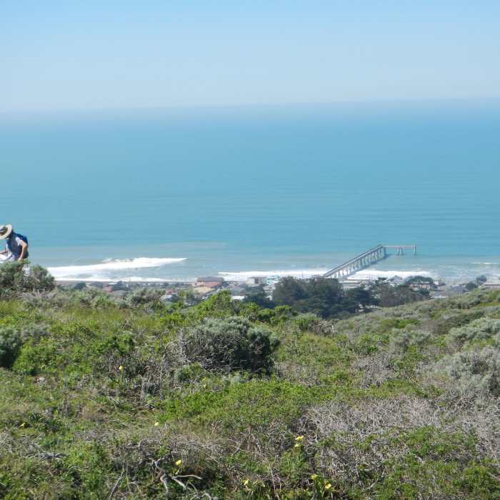
Ranger doing field work.
Near Bay Area Ridge Trail: Skyline College to Pacifica via Milagra Ridge
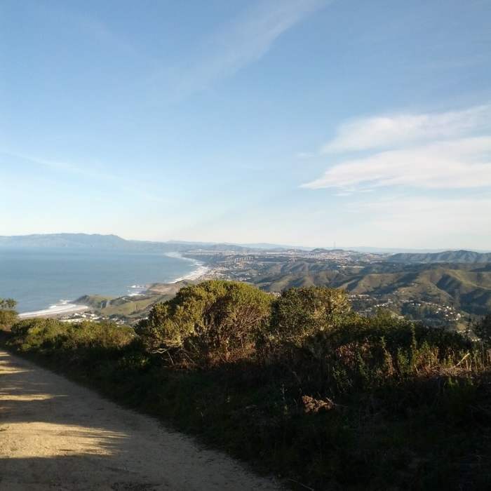
Views from the way up to the Milagra Ridge.

Looking for more photos?

View All Photos
View Map
Driving Directions
Hike Trail
Buy NowView in 3D

Bay Area Ridge Trail: Skyline College to Pacifica via Milagra Ridge

3.0 (1 Rating)
The trek along Sweeney Ridge offers sweeping views of the coast and the San Francisco Bay.
3.3
mi
Distance
179
ft
Gain
moderate
Difficulty
ViewsWildflowers

Route Details

Flatter
Steeper
3.32mi
Distance
179ft
Elevation Gain
805ft
Elevation Loss
40%
Max Grade
768ft
High Point
67ft
Low Point
Path Type
Point to Point
Description
This segment offers a lovely stretch of open space along the bluffs and hillside of GGNRA's Milagra Ridge, with distant views over the Pacific. The route also follows streets within Skyline College and Pacifica, including a section along the oceanfront. The route is mostly level, with a downhill stretch from Milagra Ridge to Oceana Boulevard. Visit in March and April, when wildflowers are in bloom. Be prepared for fog in summer. This trail description is excerpted from the 2019 Bay Area !Ridge Trail Guidebook. For details on all trails, trailheads and more buy the book from Wilderness Press.

Route Conditions

Report Conditions
Anonymous Adventurer
All Clear
Anonymous Adventurer
All Clear
Looking for more condition reports?
View History

Nearby Hike Routes

Notch Trail

Hike Route

Notch Trail

Family Friendly
moderate
1.07 mi
+509 ft
Milagra Ridge Tour

Hike Route

Milagra Ridge Tour

Family Friendly
moderate
1.67 mi
+235 ft
Mori Ridge Trail

Hike Route

Mori Ridge Trail

Views
moderate
1.23 mi
+812 ft
Mori Point

Hike Route

Mori Point

Family Friendly
moderate
2.37 mi
+357 ft
Milagra Ridge

Hike Route

Milagra Ridge

Dogs Allowed
easy
2.66 mi
+583 ft
Sweeney Ridge Loop

Hike Route

Sweeney Ridge Loop

Family Friendly
moderate
5.45 mi
+1,055 ft
Contributors
Bay Area Ridge Trail Staff
