Size
NA
Boat Launch
Carry-in Launch
Toilet
Yes
Boat Dock
Species in North Channel Saint Clair River
Overview
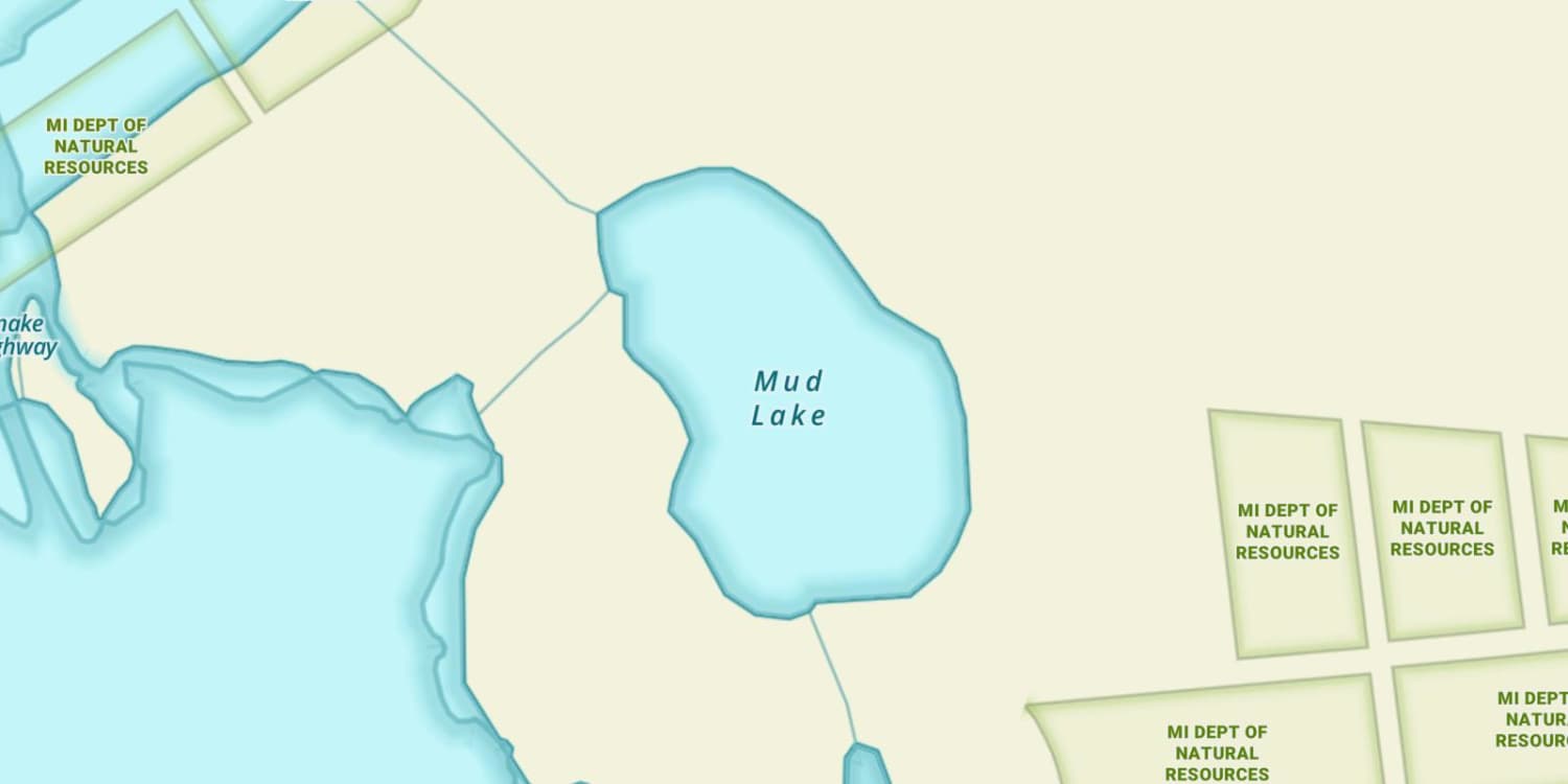
North Channel Saint Clair River Map
Features
Often referred as the “6th Great Lake” Lake St. Clair is an important part of the Great Lakes system. More than one third of all Great Lakes’ sport fishing takes place on Lake St. Clair. Even though this is a smaller body of water, more fishing tournaments are fished in this lake than any other lake in the Great Lakes system. Lake St. Clair has the biggest delta in the Great Lakes system, which is located on the north side of the lake and because of how shallow the lake is, the water is replaced every 5- to 7- days with fresh water from Lake Huron.
The lake location, adjacent to the Detroit metropolitan area, has resulted in the development of excellent facilities along the west and north shores that attract thousands of visitors each year.
The Walpole Island Indian Reserve is found at the mouth of the St. Clair River. To fish these waters an Ontario fishing license and an Indian permit are required. These special permits can be purchased at Walpole Island, Ontario and at several off-reservation locations.
Forage
Forage is diverse in Lake St. Clair with many native forage species such as emerald shiner, spottail shiner, sand shiner and gizzard shad. Small yellow perch and crayfish are favorite forage items for smallmouth. Muskellunge forage includes several spe
Seasonal Movements
Seasonal movement of the fish are dependent on the weather in the spring, summer and fall. In the spring time, walleye, muskie, pike, smallmouth bass, largemouth bass and trout make their spawning runs. Walleye will run into the rivers, the trout and salmon will make their way to deeper and cooler Great Lakes waters. The muskie, pike, and bass will make their way to the shallow flats and bays around the lake to spawn. From the early summer to the dog days of summer, fish will relate to weed beds or in the deeper parts of the lake such as the shipping channel and both mouths of the rivers. In the fall, the fish will start to feed heavily on forage for the winter time. As the water temperatures drop, you can find the fish in 3- places, the river mouths, deeper parts of the lake, or in the last remaining green weeds of the year. Also, as the water temperatures begin to drop, the trout and salmon will start to run into the small rivers where they were stocked in. When the lake freezes over, you can find the fish in the shallow flats or in the deeper parts of the lake.
![]()
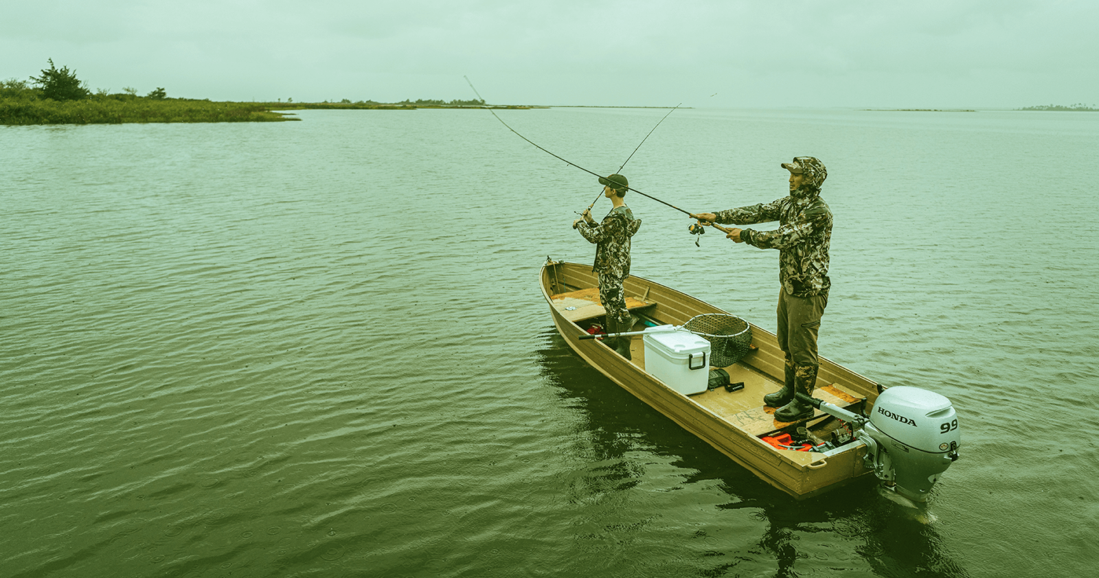
Get Your Line in the Right Water
Quickly find the best places to fish and plan your day right.
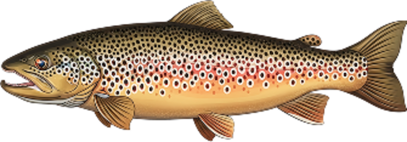
Top Fish Species
Brown trout
No survey data
Abundance (CPUE)

Understanding Abundance
Abundance ratings are based on Catch Per Unit Effort (CPUE) measurements conducted by the MN DNR, and represent a snapshot of a species population at a given point in time
Source: Minnesota Department of Natural Resources. Survey cadence may vary by state and water body.Species Lengths