Size
NA
Boat Launch
Carry-in Launch
Toilet
No
Boat Dock
Species in Coal Creek
Overview
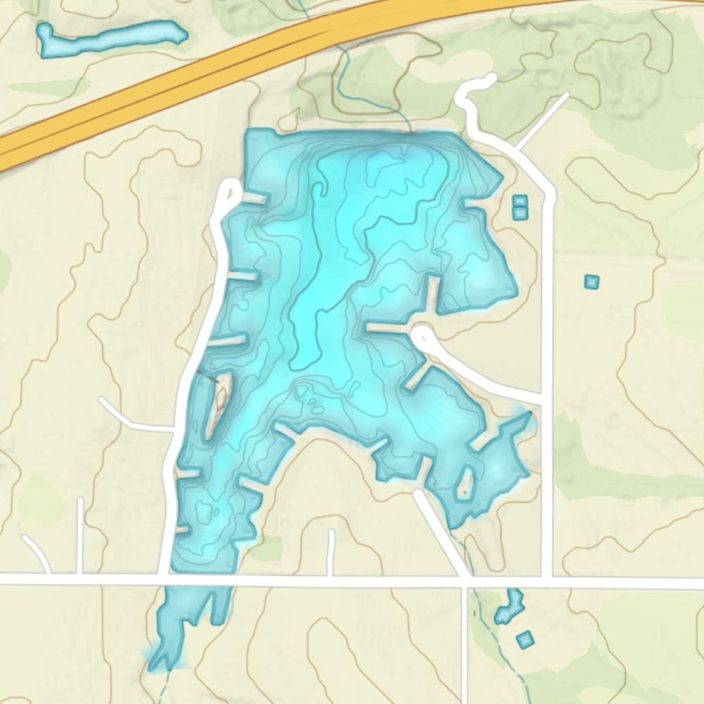
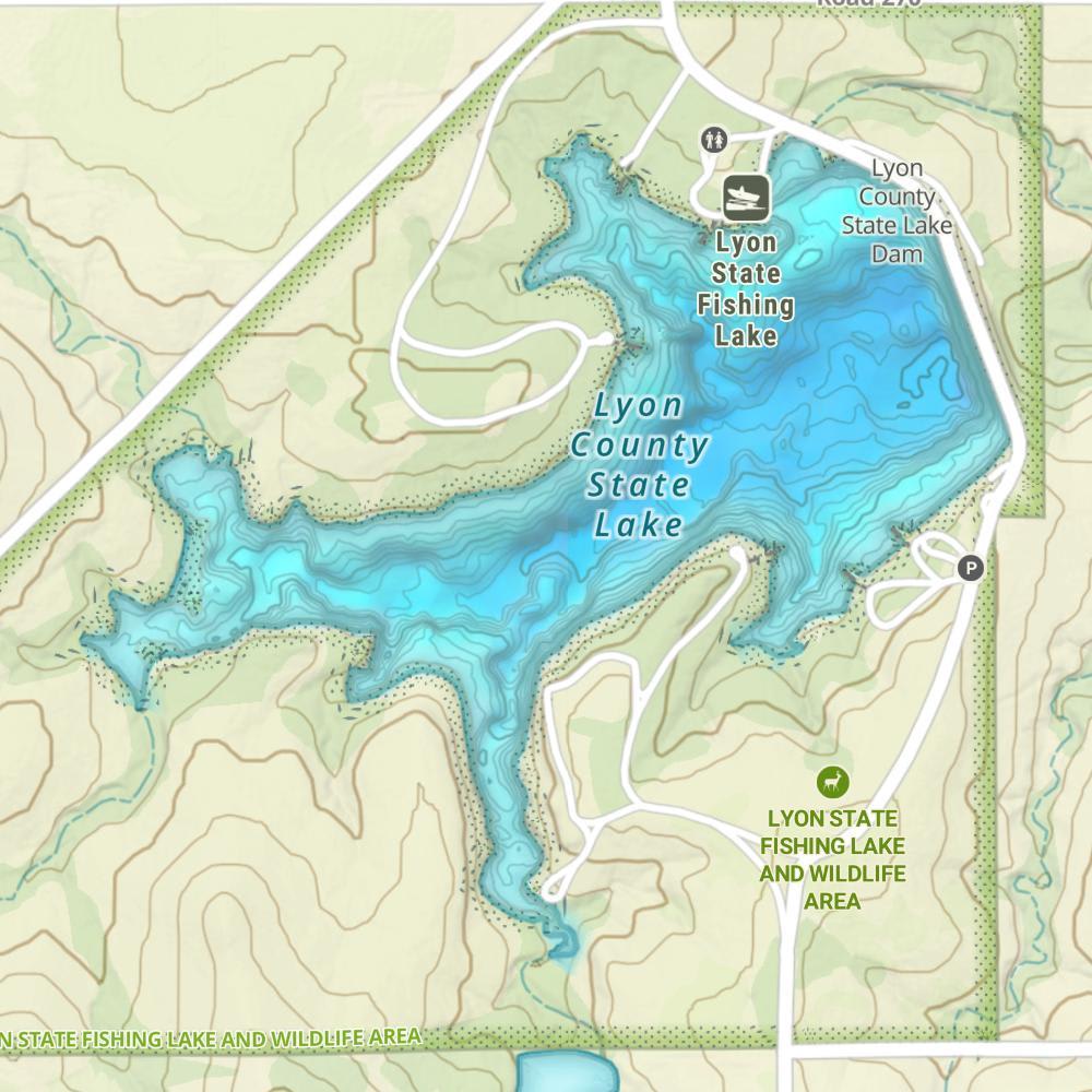
Coal Creek Map
Features
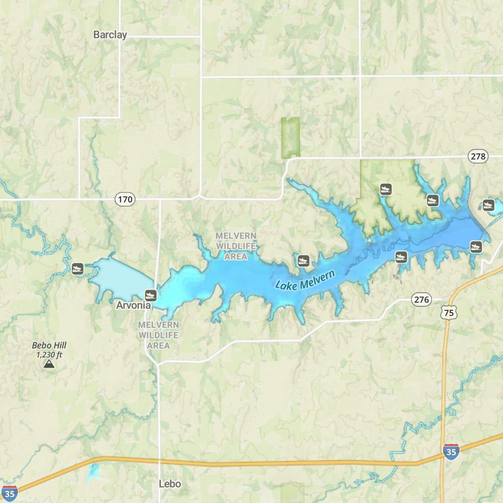
This 6,930 acres reservoir was planned, designed, constructed, and today managed by the U.S. Army Corps of Engineers. Located 40 miles south of Topeka, and is nestled on east edge of the Flint hills Region. Congress authorized the construction of Melvern Lake as a multipurpose project for flood damage reduction and water resource development. An impoundment of the Marais Des Cygnes River, the Melvern Dam stretches more than 9,500 feet and rises nearly 125 feet off the river valley floor. Recreation, fish and wildlife conservation, and water quality are other important benefits of the lake. Today the parks that surround the lake, managed by both the Corps and the Kansas Department of Wildlife and Parks (KDWP), offer recreation options such as hiking, camping, boating, fishing and hunting.
Forage
Early in the year many fish will feed on invertebrates and aquatic insects. As the year progresses fish will start targeting larger forage. Gizzard shad, shiners, bluegills and large crustaceans are abundant and provide forage for bigger fish.
Seasonal Movements
During the early part of the year look for crappies and walleyes to move into shallow water to spawn. Crappies will relate to shallow rocks and brush while walleyes will relate to gravel shorelines. Catfish will also move into shallow coves, especially where creeks enter into the lake.

Get Your Line in the Right Water
Quickly find the best places to fish and plan your day right.
Top Fish Species
Blue catfish
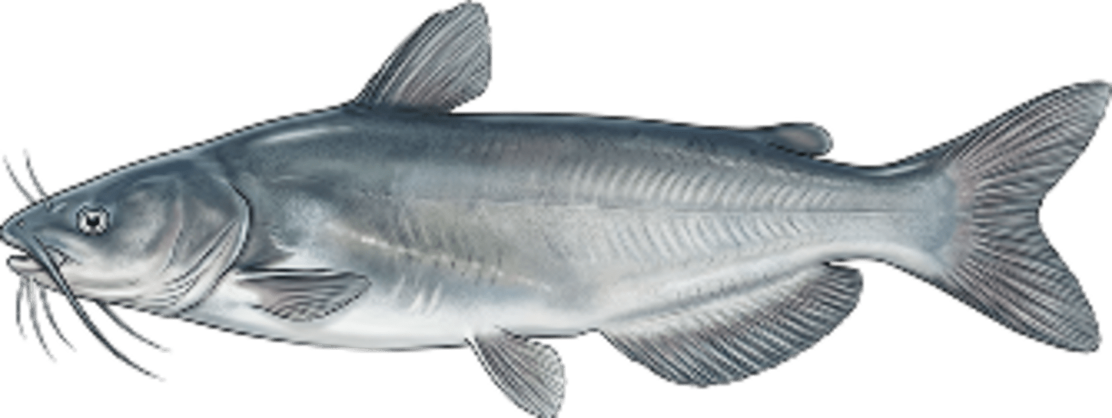
No survey data
Abundance (CPUE)

Understanding Abundance
Abundance ratings are based on Catch Per Unit Effort (CPUE) measurements conducted by the MN DNR, and represent a snapshot of a species population at a given point in time
Source: Minnesota Department of Natural Resources. Survey cadence may vary by state and water body.Species Lengths