Size
NA
Boat Launch
Carry-in Launch
Toilet
Yes
Boat Dock
Species in Saint Francis River
Overview
Crappie dominate this lake and pick up the majority of the fishing pressure. Largemouth bass are numerous but tend to run small. Good numbers of channel cats and sunfish. 8,400 acres
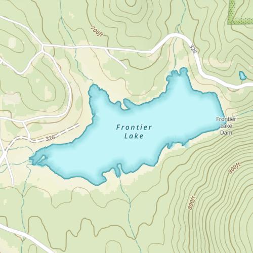
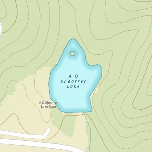
Saint Francis River Map
Forage
Gizzard shad, sunfish, crayfish and various minnow species are significant.
![]()
Get Your Line in the Right Water
Quickly find the best places to fish and plan your day right.
Top Fish Species
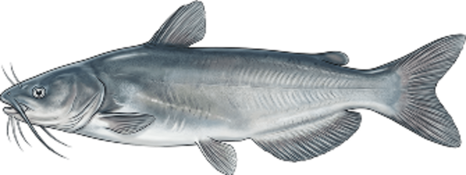
Blue catfish
No survey data
Abundance (CPUE)

Understanding Abundance
Abundance ratings are based on Catch Per Unit Effort (CPUE) measurements conducted by the MN DNR, and represent a snapshot of a species population at a given point in time
Source: Minnesota Department of Natural Resources. Survey cadence may vary by state and water body.Species Lengths