Size
NA
Boat Launch
Carry-in Launch
Toilet
No
Boat Dock
Species in Merriweather Creek
Overview
Widely known for excellent numbers of walleye. A quality smallmouth bass fishery has developed in recent years. Good perch fishing too. The numerous fish cribs are key.
Merriweather Creek Map
Features
Nestled in the western portion of Michigan’s Upper Peninsula, about 31 miles east of Ironwood, Michigan and north of Highway 2, Lake Gogebic is the largest inland body of water in the Upper Peninsula and the sixth largest in the state. A number of county, city, state and private resorts offer excellent camping, resorts and day-use facilities that allow anglers and other outdoor enthusiasts many opportunities on the lake. The lake is most well-noted for it’s jumbo perch and walleye fisheries. The lake association, in cooperation with the Michigan Department of Natural Resources, has been instrumental in placing numerous fish cribs throughout the lake. Quality electronics are essential in locating these structures.
Forage
Young-of-the-year yellow perch are heavily utilized by walleye. Trout perch, white sucker, crayfish and young walleye form the bulk of the forage base. Mayfly larvae and zooplankton are heavily utilized by perch and walleye. Mottled scuplin and various daces are present but their importance as a forage base is unknown. The Lake Gogebic Improvement Association has stocked fathead minnows to add to the forage base.
Seasonal Movements
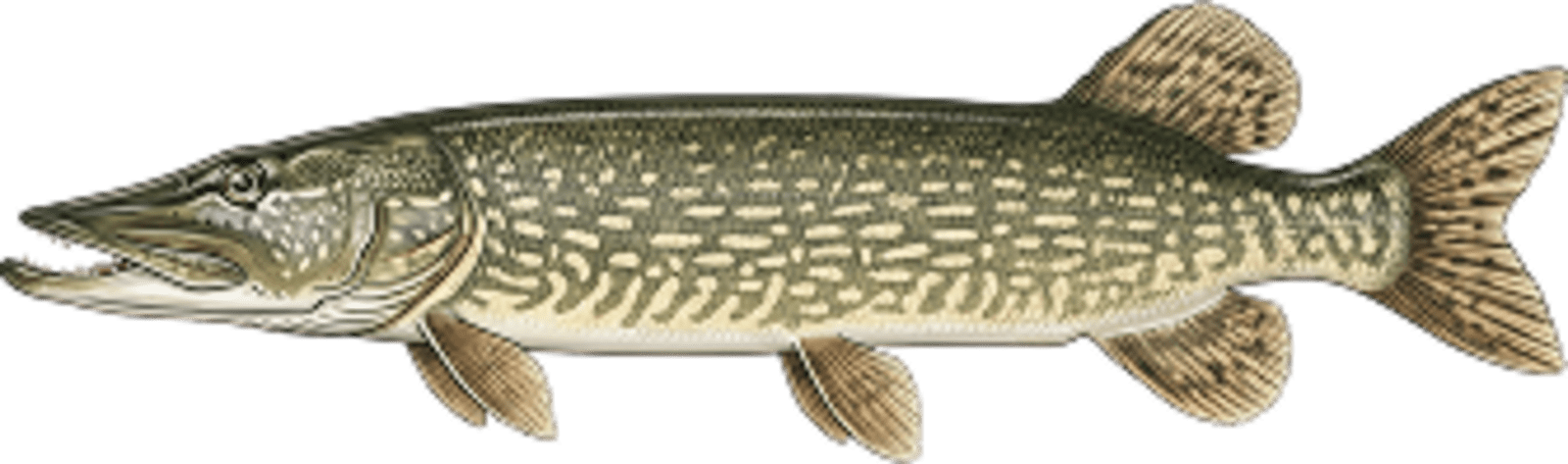
Walleye move into the West Branch of the Ontonagon River, Slate River and to the east side of the lake in early spring. Northern pike use Merriweather Creek for spawning.
![]()
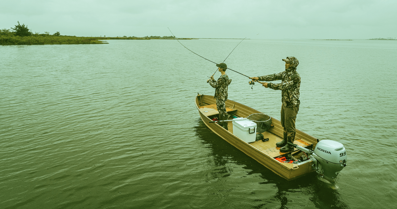
Get Your Line in the Right Water
Quickly find the best places to fish and plan your day right.
Top Fish Species
Northern pike
No survey data
Abundance (CPUE)

Understanding Abundance
Abundance ratings are based on Catch Per Unit Effort (CPUE) measurements conducted by the MN DNR, and represent a snapshot of a species population at a given point in time
Source: Minnesota Department of Natural Resources. Survey cadence may vary by state and water body.Species Lengths