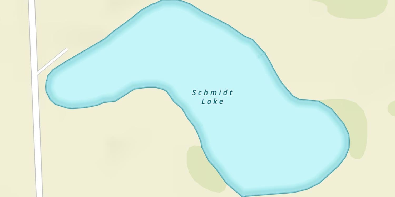
Size
NA
Boat Launch
Carry-in Launch
Toilet
Yes
Boat Dock
Species in Otter Tail River
Overview
Walleye are the main attraction here. One of the best for winter perch. Broad sand flats and numerous midlake humps provide plenty of spots to fish.
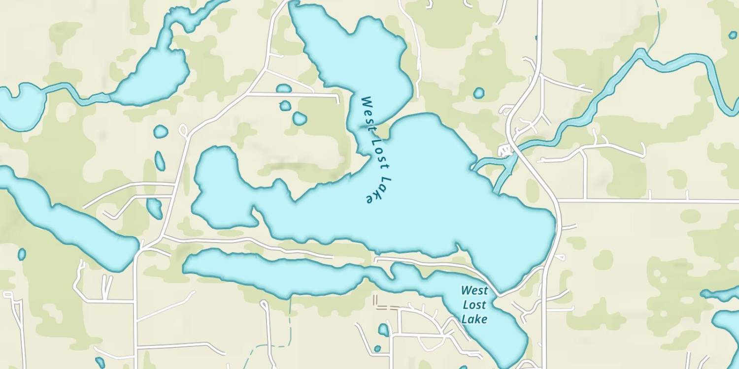
Otter Tail River Map
Features
Otter Tail Lake lies in the middle of a number of river chains connecting Rush and Pine lakes to the north. Walker and Dead lakes to the northwest, Deer and East Lost lakes to the southwest, and West Battle Lake to the south. The Otter Tail River is the deepest of the rivers and can be navigated (with caution) upstream to Rush Lake.
The majority of the lake is fringed by broad sand borders that extend well out into the lake, making Otter Tail a premier summer swimming and recreation lake.
Otter Tail Lake is known for its excellent walleye fishing. Many perch and fair numbers of northern pike are also caught. Some of the best wintertime yellow perch fishing in the area is found on Otter Tail Lake.
Forage
Emerald shiner, spottail shiner, lake shiner, yellow perch, tullibee (cisco), and white sucker are the primary forage species. Bullhead, rock bass, burbot and juvenile panfish are also available to gamefish. The consistently high tullibee population is a sign of good water quality.
Seasonal Movements
In the early spring, walleye and sucker run up the Dead and Otter Tail River; suckers also move up Balmoral Creek. According to a DNR fisheries study, approximately 10% of the walleye spawning in Otter Tail Lake used the Dead and Otter Tail rivers.
Walleye fishing is impacted each spring by a major movement of lake shiners into the shallows. Depending on spring weather conditions, this shiner run usually occurs in early-to-late May and draws many walleye into the shallows to feed.
![]()
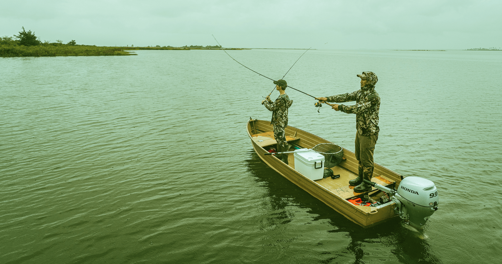
Get Your Line in the Right Water
Quickly find the best places to fish and plan your day right.
Top Fish Species
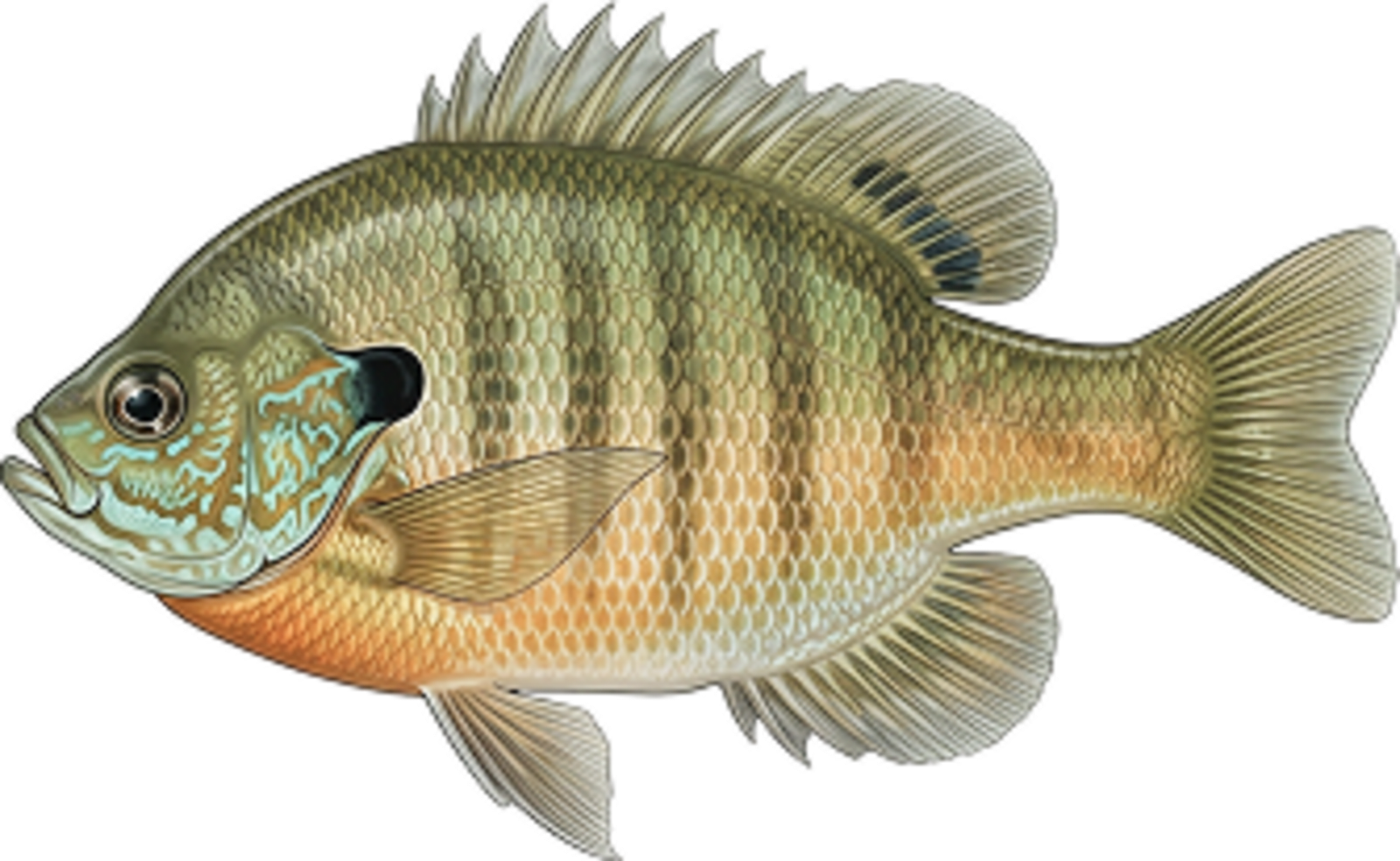
Bluegill
No survey data
Abundance (CPUE)

Understanding Abundance
Abundance ratings are based on Catch Per Unit Effort (CPUE) measurements conducted by the MN DNR, and represent a snapshot of a species population at a given point in time
Source: Minnesota Department of Natural Resources. Survey cadence may vary by state and water body.Species Lengths