Size
NA
Boat Launch
Carry-in Launch
Toilet
No
Boat Dock
Species in Pottawattomie Bayou
Overview
Spring Lake and the river bayous offer top-notch largemouth bass action. Walleye fishing is improving. Tons of scrappy panfish around. 16.5 river miles mapped.
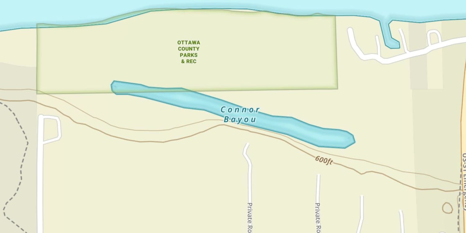
Pottawattomie Bayou Map
Features
Grand River and Spring Lake are very popular boating and fishing destinations. Special regulations are enforced to improve safety and to make boating more enjoyable. Several no-wake zones have been marked in the lower Grand. Boats over 26 feet are not allowed to produce a wake on Spring Lake or its connecting waters. Special no-wake zones are posted 200 feet from shore and all pier heads. These apply to all boats. The navigation channel on the Grand River from Lake Michigan upstream to the “Gravel Pits” is well marked. However, extreme caution is advised when navigating the river due to floating debris and heavy recreational boat traffic. Grand River and Spring Lake support a large number of private and public marinas. Most are located on the Grand River near Grand Haven. The Grand Haven State Game Area, located along the river, is a popular waterfowl hunting area.
Forage
Gizzard shad are extremely important and provide the key forage for larger predators. Redhorse sucker add to the forage for predator species. A variety of minnow species; including golden shiner, emerald shiner, creek chub, spottail shiner and young-of-the-year panfish, are also utilized.
Seasonal Movements
Coho and chinook salmon begin their annual migration up the Grand River in mid-September, and steelhead start at the end of October. A fish ladder at the 6th Street Dam in Grand Rapids provides salmon and steelhead access to the upper Grand River. In mid-March, a spring run of steelhead also occurs. A few brown trout and lake trout also make the journey to the 6th Street Dam in spring.
![]()
Get Your Line in the Right Water
Quickly find the best places to fish and plan your day right.
Top Fish Species
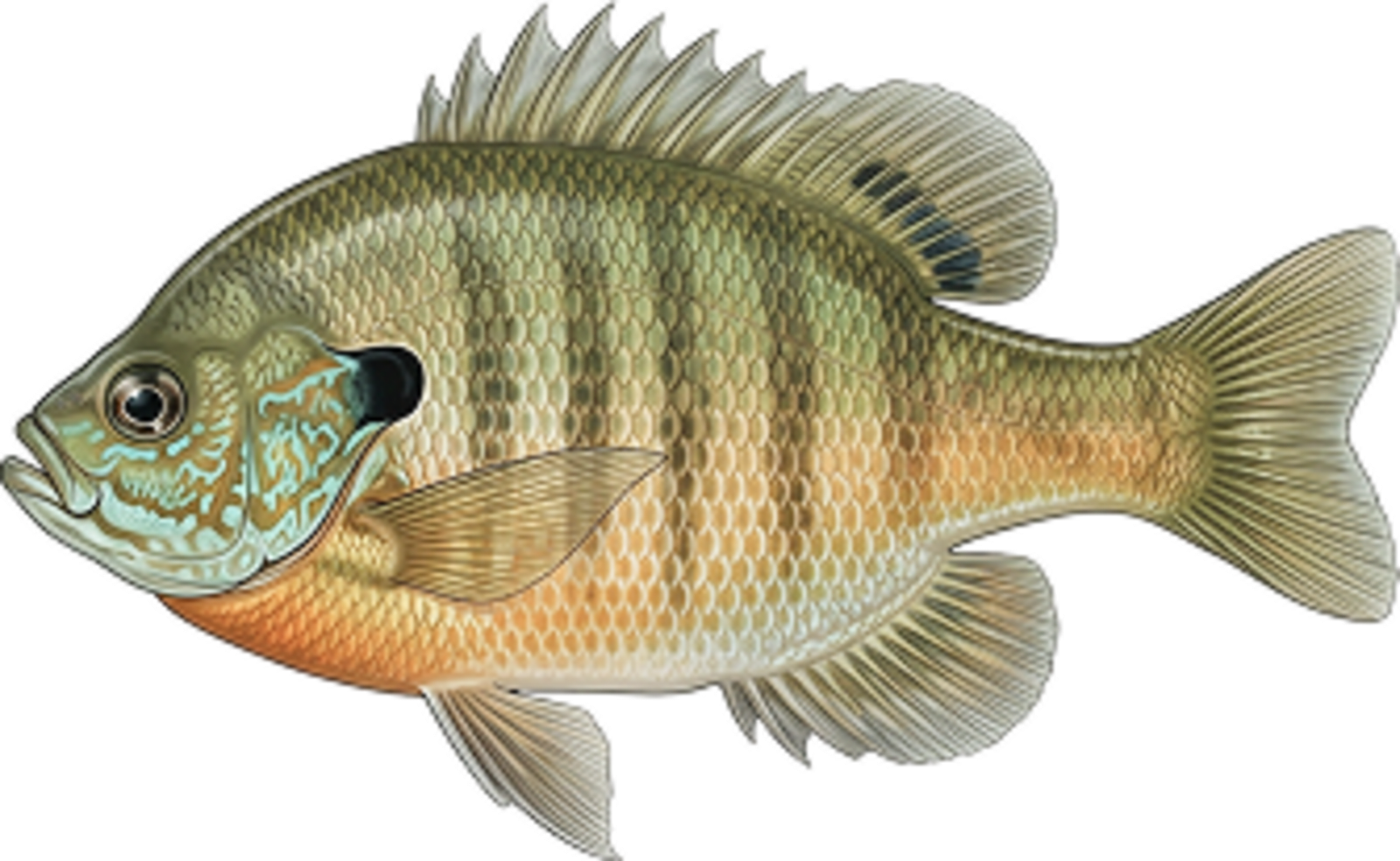
Bluegill
No survey data
Abundance (CPUE)

Understanding Abundance
Abundance ratings are based on Catch Per Unit Effort (CPUE) measurements conducted by the MN DNR, and represent a snapshot of a species population at a given point in time
Source: Minnesota Department of Natural Resources. Survey cadence may vary by state and water body.Species Lengths