Size
NA
Boat Launch
Carry-in Launch
Toilet
No
Boat Dock
Species in Ohio River
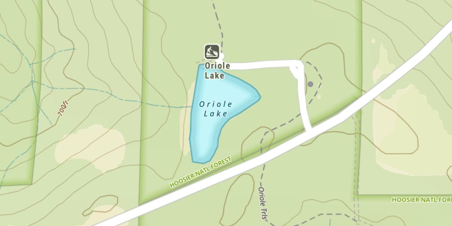
Overview
Props and trolling motors routinely fall prey to the vast amount of standing and fallen timber. The largemouth, crappie, channel cats and bluegill love it. The numerous creek arms hold many fish.
Ohio River Map
Features
An Illinois fishing license is required to fish all creeks and rivers in Illinois, as well as the 100-foot border area on the Ohio River. A Kentucky license is required to fish the Ohio River up to the Illinois border, about 100-feet from the Illinois shore, and all Kentucky tributaries. Consult the appropriate states regulations regarding creel and size limits. Kentucky non-resident fishing licenses can be obtained at the Golconda Marina.
Located in Illinois, the Shawnee National Forest encompasses over 240,000 acres adjacent to the Ohio River. Scenic forested hills are enhanced by the many miles of sheer limestone palisades that rise from the river’s shore.
Be aware of strong currents that exist in the main channel. Coupled with high winds and heavy barge traffic, these conditions demand caution navigating.
Forage
Fish species considered as forage are as diverse as the fishery itself. Gizzard shad are the most abundant forage, but quickly grow beyond a usable size. Threadfin shad, bluntnose minnow, emerald shiner and river shiner are also important forage. Young-of-the-year of a variety of species are heavily utilized.
During hatches, mayfly and caddisfly are used by some fish, almost to the exclusion of other foods. Crayfish, snails, clams, glass shrimp, and a myriad of river life are all used at times of abundance.
Seasonal Movements
Sauger make fall and spring upstream migrations which are slowed or stopped by the dams. White bass move to the creeks during spring high water. Young striped bass exhibit a strong tendency to make extensive downstream migrations.
![]()
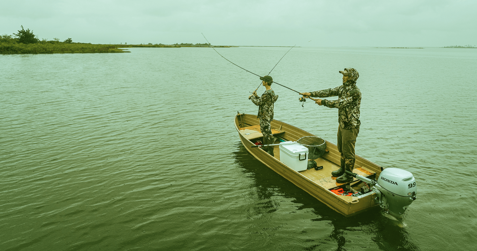
Get Your Line in the Right Water
Quickly find the best places to fish and plan your day right.
Top Fish Species
Largemouth bass
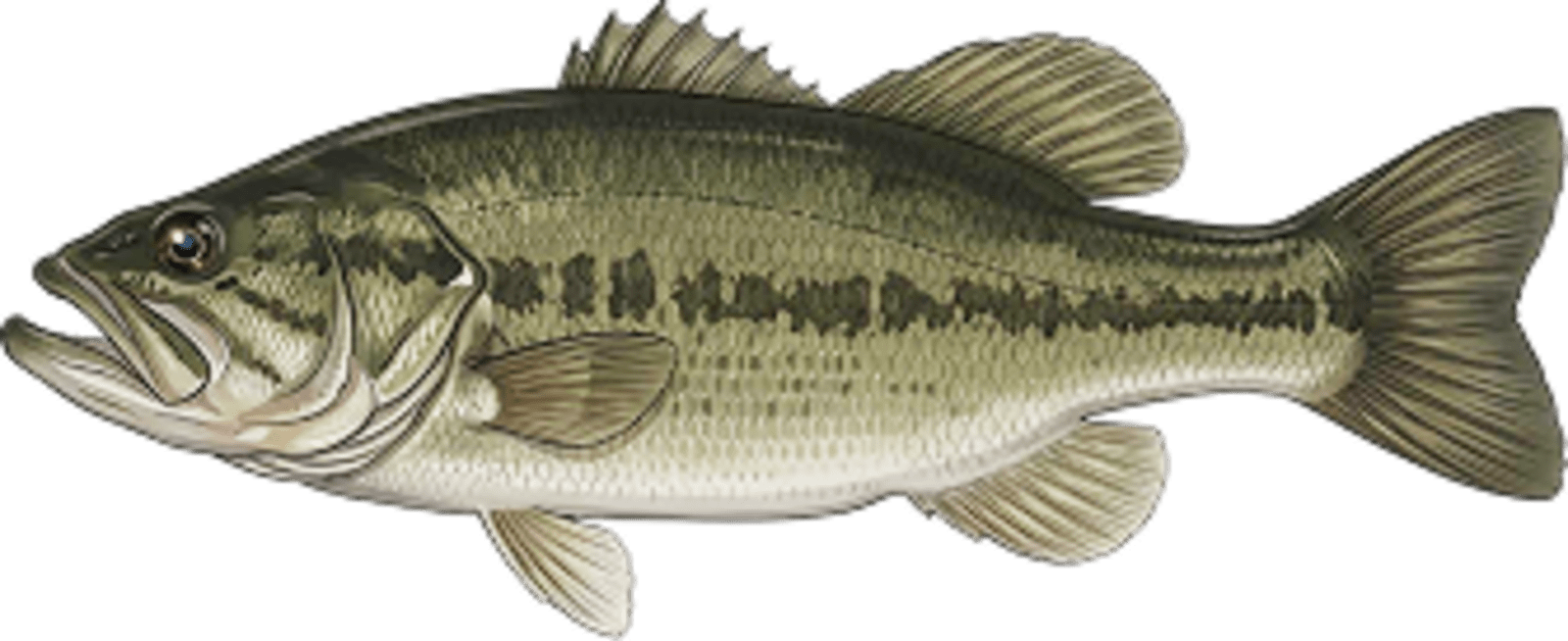
No survey data
Abundance (CPUE)

Understanding Abundance
Abundance ratings are based on Catch Per Unit Effort (CPUE) measurements conducted by the MN DNR, and represent a snapshot of a species population at a given point in time
Source: Minnesota Department of Natural Resources. Survey cadence may vary by state and water body.Species Lengths