Size
NA
Boat Launch
Carry-in Launch
Toilet
No
Boat Dock
Species in Turtle River
Overview
Preserved by the state, this area is a Mecca to both land and water recreation. Walleye are the dominant species. Trophy muskie over 50 are taken. Smallmouth numbers are increasing. 14,326 acres
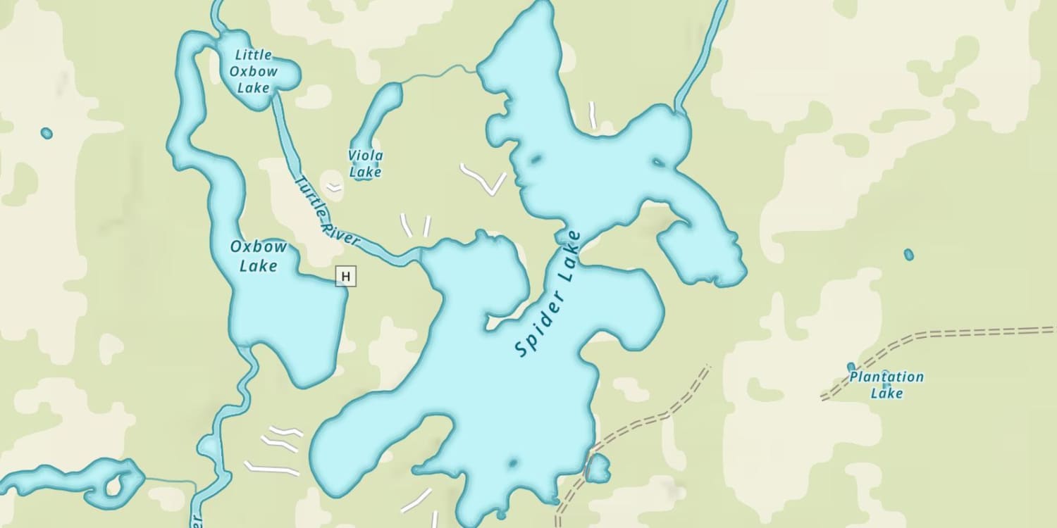
Turtle River Map
Features
The “wild and wonderful” Turtle Flambeau remains one of Wisconsin’s outstanding fishing destinations. The flowage was created in 1926 when the Chippewa and Flambeau Improvement Company constructed a dam on the Flambeau River. The dam flooded 11 natural lakes and formed an impoundment of 14,326 acres. In 1990 the State of Wisconsin purchased 12,000 acres of surrounding land, 114 miles of shoreline and 195 islands. The outstanding wilderness aesthetics are a major attraction. The Turtle Flambeau Flowage is managed by the Wisconsin Department of Natural Resources to protect the plant and wildlife communities and preserve its scenic qualities. The Wisconsin DNR allows primitive camping on a first-come first-serve basis at designated sites. The camping areas are only accessible by water and at the present time, a fee is not charged. The flowage has the highest number of bald eagle, osprey and common loon breeding pairs in any Wisconsin lake. Shore birds and migratory waterfowl use the flowage as a breeding and staging area. Anglers and boaters should be aware of the many unmarked shallow rock bars and submerged stumps that can cause navigation problems. Floating wood is always a consideration for navigation.
Forage
Walleye prey heavily on young-of-the-year perch and minnow species. Mayfly larvae and crayfish are significant for walleye and smallmouth bass. Muskie feed primarily on white sucker. Golden shiner and bluntnose minnows are also present. Small numbers of cisco are present in the deeper water of the main lake basins.
Seasonal Movements
The largest concentration of spawning walleye occurs at the Turtle River inlet below Lake of the Falls. This area is protected as a seasonal fish refuge during the spawning period. Spawning fish also utilize the Flambeau and Manitowish rivers. The Manitowish River also has a fish refuge in spring. Due to warmer temperatures, this run usually occurs one week before the Turtle River migration. Walleye also spawn along the many miles of gravel and rock shoreline in the flowage and in the “beaver flats” region.
Weather

63°Feels like 63° 82°
82° 56°
56°

82°56°7:12 AM
6:21 PM

7 mph
South

0 in
Rain

29.83 inHg
Falling

SundaySu
82° / 56°

MondayMo
74° / 43°
TuesdayTu
55° / 38°
WednesdayWe
56° / 34°
ThursdayTh
57° / 33°

FridayFr
50° / 29°
Moon Phase

October 11, 2026
1% Illumination
waxing crescent, getting brighter


SundaySu10/11
MondayMo10/12
TuesdayTu10/13
WednesdayWe10/14
ThursdayTh10/15
FridayFr10/16
SaturdaySa10/17
Get Your Line in the Right Water
Quickly find the best places to fish and plan your day right.
Top Fish Species
Walleye
No survey data
Abundance (CPUE)

Understanding Abundance
Abundance ratings are based on Catch Per Unit Effort (CPUE) measurements conducted by the MN DNR, and represent a snapshot of a species population at a given point in time
Source: Minnesota Department of Natural Resources. Survey cadence may vary by state and water body.Species Lengths