Size
NA
Boat Launch
Carry-in Launch
Toilet
No
Boat Dock
Species in Tomahawk River
Overview
Large, irregular impoundment known for walleye, bass and panfish. Fluctuating water levels add to the challenge. Ample cover in the form of weeds, wood and rocks.
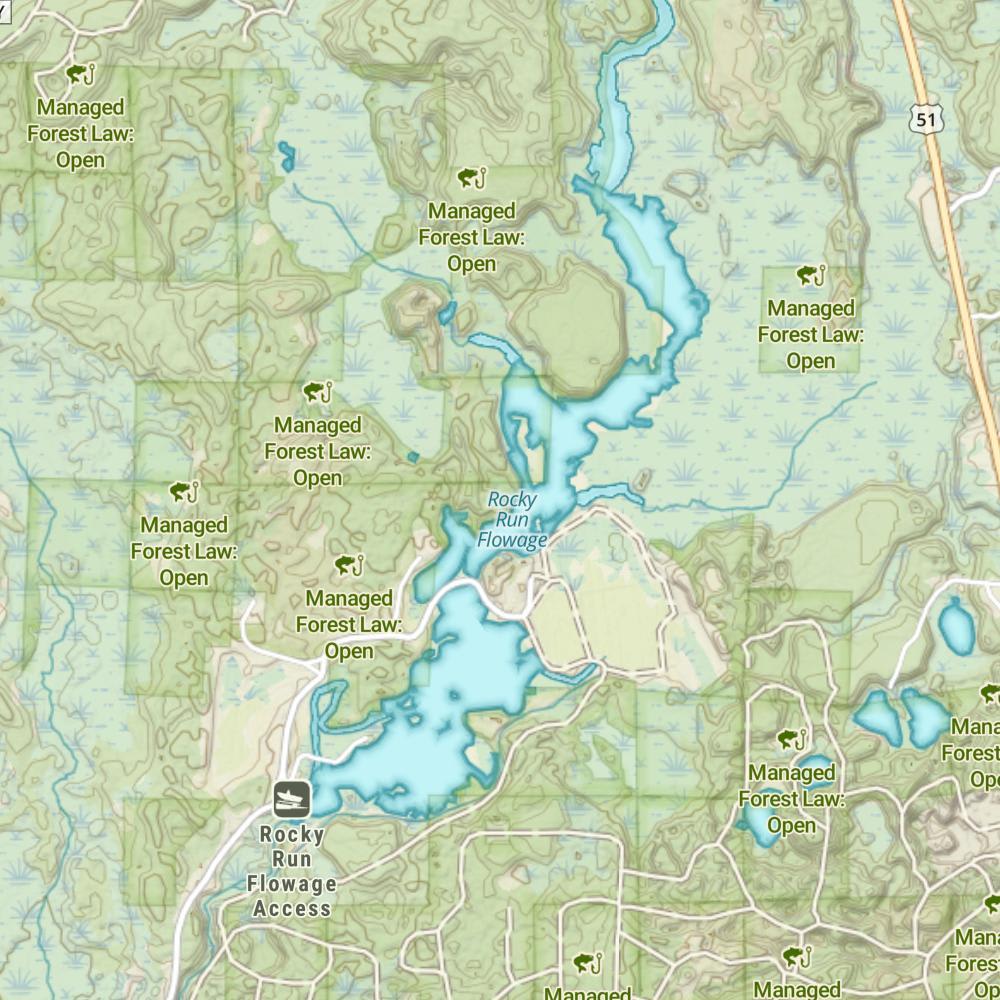
Tomahawk River Map
Features
Located in north central Wisconsin, Lake Nokomis sits just north of Highway 8 and the city of Tomahawk, WI. The lake was created in 1911 when the Bradley Dam was finished across the Tomahawk River. The lake is one of several Wisconsin Valley Improvement Company’s lakes and reservoirs, designed to regulate and stabilize the flow of the Wisconsin River. As a result, the lake experiences drastic seasonal water fluctuations. The lake is also referred to as the Rice Reservoir and is composed of the Rice River Flowage, Deer Lake, Bridge Lake and of course Lake Nokomis.
Navigational hazards are common to anglers and boaters on Nokomis. Unmarked rock bars, stump fields and sandbars are the typical hazards present. An unusual hazard exists, locally referred to as “bogs”. When water levels drop drastically during summer, large floating islands appear throughout the lake. These bogs move from day to day and can create extremely dangerous hazards. Ice conditions become very unsafe near any of the road bridges located around the lake. These areas exhibit current and result in no ice or very thin ice.
Forage
Yellow perch, juvenile panfish and suckers are heavily utilized by larger game species like northern pike and muskie. Various minnows and darters are also available. Abundant crayfish populations are heavily consumed by the expanding smallmouth bass population.
Seasonal Movements
In early spring, there is a large migration of redhorse into the Tomahawk River arm. Many anglers work the rocky rapids north of Prairie Rapids Road. This area does attract a few walleye but generally occurs well before the season opener for gamefish.
Weather

66°Feels like 66° 82°
82° 58°
58°

82°58°7:09 AM
6:22 PM

4 mph
South

0 in
Rain

29.75 inHg
Falling

SaturdaySa
82° / 58°
SundaySu
81° / 59°

MondayMo
72° / 44°
TuesdayTu
57° / 38°
WednesdayWe
60° / 39°
ThursdayTh
59° / 42°
Moon Phase

October 10, 2026
0% Illumination
new moon


SaturdaySa10/10

SundaySu10/11
MondayMo10/12
TuesdayTu10/13
WednesdayWe10/14
ThursdayTh10/15
FridayFr10/16
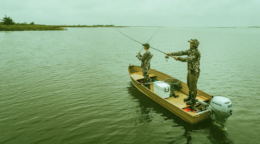
Get Your Line in the Right Water
Quickly find the best places to fish and plan your day right.
Top Fish Species
Bluegill
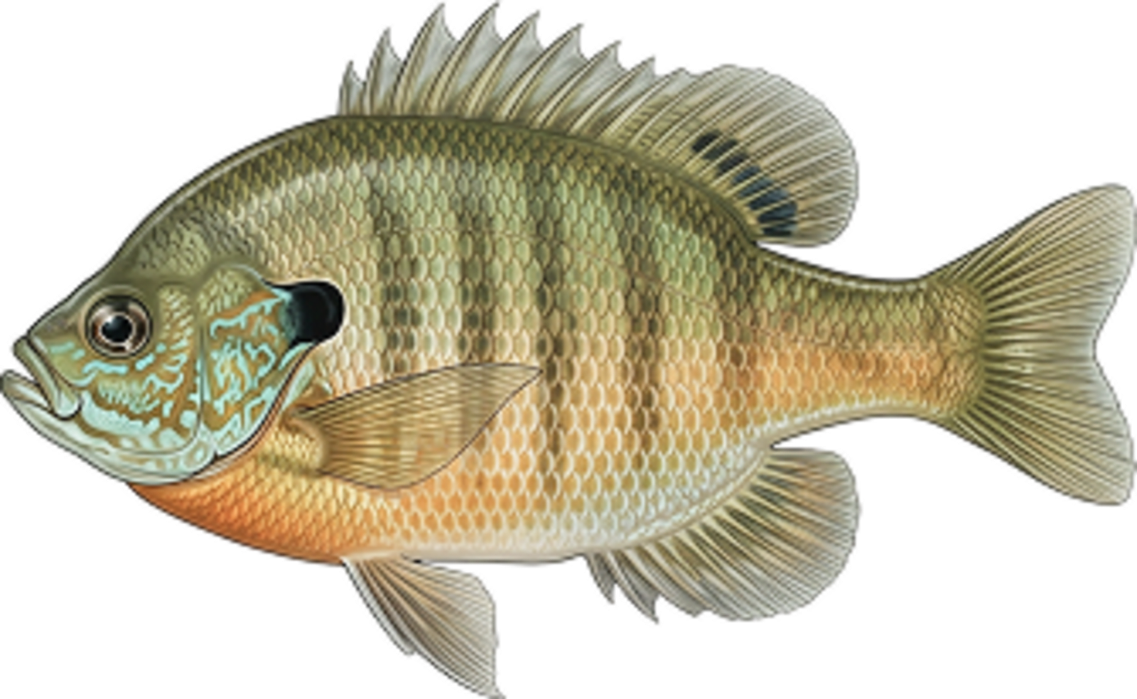
No survey data
Abundance (CPUE)
Understanding Abundance
Abundance ratings are based on Catch Per Unit Effort (CPUE) measurements conducted by the MN DNR, and represent a snapshot of a species population at a given point in time
Source: Minnesota Department of Natural Resources. Survey cadence may vary by state and water body.Species Lengths