Size
NA
Boat Launch
Carry-in Launch
Toilet
No
Boat Dock
Species in O'Neil Creek
Overview
In northwestern Wisconsin, just east of Chippewa Falls and north of Highway 29.
O'Neil Creek Map
Features
Nestled in the northwestern portion of Wisconsin, Lake Wissota is located just east of Chippewa Falls, WI and north of Highway 29. The reservoir was created in 1915 to provide flood control and provide a source of hydroelectric power along the Chippewa River. The lake offers a number of shore fishing sites along Highway X and provides anglers many opportunities throughout the year. Lake Wissota State Park on the northeast end of the lake provides great camping facilities along with day-use areas. Boaters unfamiliar with the Chippewa River between Lake Wissota and Jim Falls Dam should exercise caution when navigating this area. Stumps, flooded timber and shallow rock bars pose serious navigational hazards.
Forage
Yellow perch, emerald shiners and a variety of other minnow species provide excellent forage for most species, especially walleye. Redhorse and suckers are heavily utilized by larger gamefish species, like the muskie and northern pike.
Seasonal Movements
Starting in late fall, walleye move up the Chippewa River and congregate below the Jim Falls Dam. Yellow River, Paint Creek and Stillson Creek experience a similar migration. During early spring, muskie and northern pike move into the major tributaries to spawn. A smaller, less-noted migration of walleye and muskies occurs in spring when muskie and walleye move downstream into the Chippewa Falls Flowage.
Weather

71°Feels like 71° 88°
88° 64°
64°

88°64°7:15 AM
6:29 PM

7 mph
South

0 in
Rain

29.83 inHg
Stable
SaturdaySa
88° / 64°

SundaySu
85° / 64°

MondayMo
77° / 51°
TuesdayTu
64° / 45°
WednesdayWe
64° / 45°

ThursdayTh
62° / 46°
Moon Phase

October 10, 2026
0% Illumination
new moon


SaturdaySa10/10

SundaySu10/11
MondayMo10/12
TuesdayTu10/13
WednesdayWe10/14
ThursdayTh10/15
FridayFr10/16
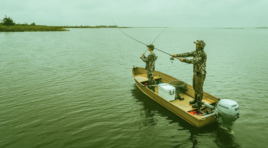
Get Your Line in the Right Water
Quickly find the best places to fish and plan your day right.
Top Fish Species
Crappie
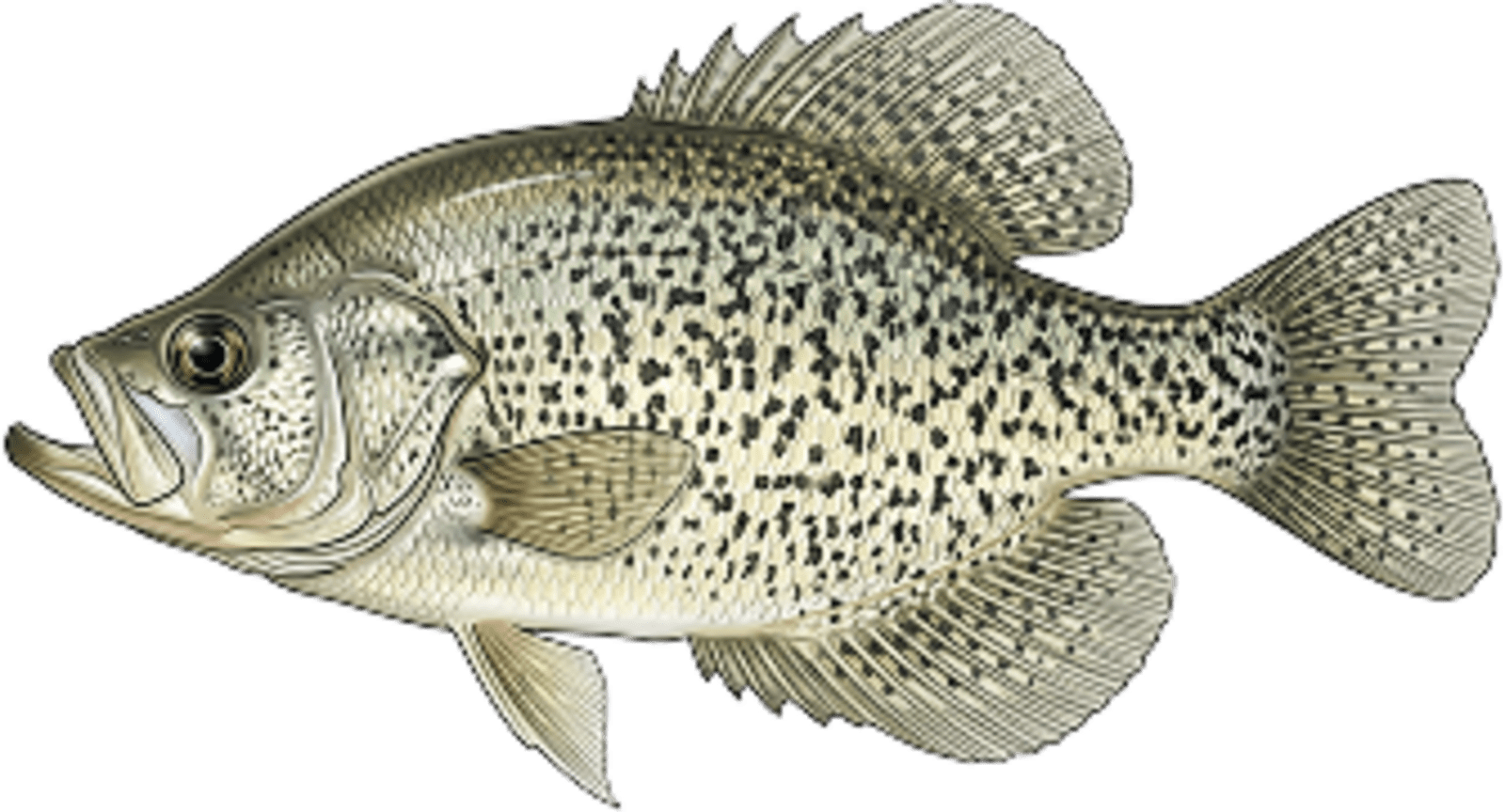
No survey data
Abundance (CPUE)
Understanding Abundance
Abundance ratings are based on Catch Per Unit Effort (CPUE) measurements conducted by the MN DNR, and represent a snapshot of a species population at a given point in time
Source: Minnesota Department of Natural Resources. Survey cadence may vary by state and water body.Species Lengths