Size
NA
Boat Launch
Carry-in Launch
Toilet
No
Boat Dock
Species in Gilmore Creek
Overview
One of the hottest spots for early season walleye. Quality smallmouth bass, white bass and catfish. Many scenic locations. Nearly 33 river miles mapped!
Gilmore Creek Map
Features
Located in south central Wisconsin, this section of the Wisconsin River runs from the Castle Rock Dam downstream to Wisconsin Dells, Wisconsin. The Upper Wisconsin Dells area attracts thousands of visitors with its outstanding natural beauty and wide range of recreational activities. Excursion boat tours through the scenic rock formations of the Upper Dells are popular. Pleasure and excursion boat traffic can be extremely heavy during summer. Anglers should concentrate their efforts during early morning and evening hours to avoid conflicts.
The Wisconsin River between Castle Rock dam and the Upper Dells is best suited for small fishing boats and canoes. Most of the shoreline remains unspoiled with only limited development.
Forage
White sucker, juvenile white bass, carpsucker and spotted sucker are the primary forage species. River shiner and other species will also be utilized in smaller amounts. Young of year bigmouth buffalo will provide forage.
Seasonal Movements
In early spring, walleye and white bass move to the tailwaters below the Castle Rock Dam to spawn. The best walleye action usually occurs in late February and March. White bass activity will peak in May.
Weather

73°Feels like 73° 71°
71° 54°
54°

71°54°7:06 AM
6:26 PM

2 mph
Southeast

0 in
Rain

29.98 inHg
Falling

FridayFr
71° / 54°
SaturdaySa
80° / 56°

SundaySu
78° / 58°
MondayMo
77° / 53°
TuesdayTu
66° / 44°
WednesdayWe
65° / 49°
Moon Phase

October 09, 2026
1% Illumination
waning crescent, getting dimmer


FridayFr10/09

SaturdaySa10/10

SundaySu10/11
MondayMo10/12
TuesdayTu10/13
WednesdayWe10/14
ThursdayTh10/15
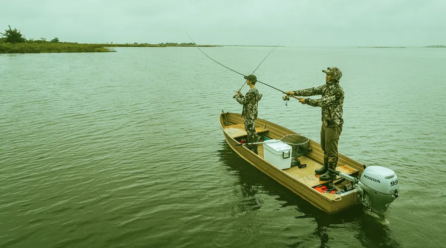
Get Your Line in the Right Water
Quickly find the best places to fish and plan your day right.
Top Fish Species
Channel catfish
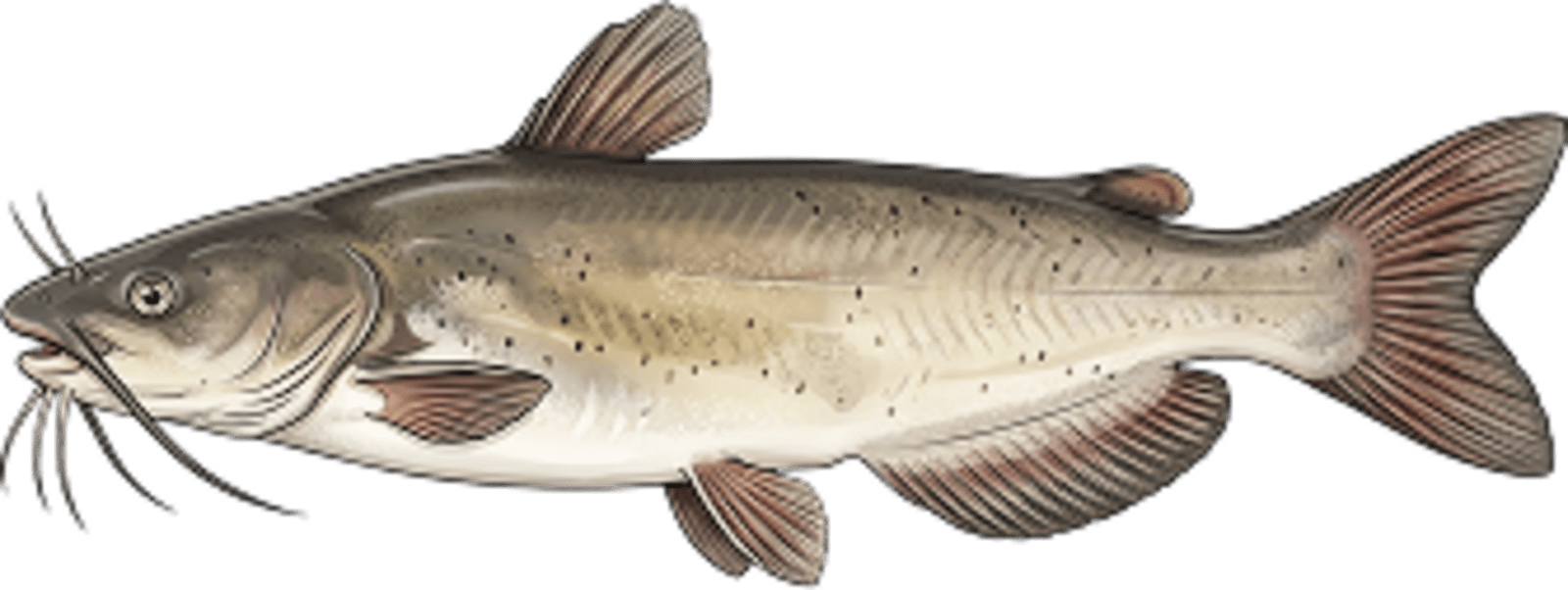
No survey data
Abundance (CPUE)
Understanding Abundance
Abundance ratings are based on Catch Per Unit Effort (CPUE) measurements conducted by the MN DNR, and represent a snapshot of a species population at a given point in time
Source: Minnesota Department of Natural Resources. Survey cadence may vary by state and water body.Species Lengths