Size
NA
Boat Launch
Carry-in Launch
Toilet
No
Boat Dock
Species in Portage River
Overview
In the western basin of Lake Erie, north of the cities of Port Clinton and Marblehead.
Portage River Map
Features
The Bass Islands of Lake Erie are popular with many recreational boaters and anglers. It is regarded as one of the best walleye and smallmouth bass fishing areas in North America. There is scheduled ferry service to the Bass Islands, Kelleys Island and Pelee Island. Small boat anglers usually take their boats on the ferry to fish the protected waters around the islands. Many tourists visit South Bass and Middle Bass Islands. Perry’s Victory and International Peace Memorial is a popular attraction on South Bass Island. Rattlesnake, Ballast and North Bass Islands are privately owned by the state of Ohio. The largest island in Lake Erie is Pelee Island, in Canadian waters. Camp Perry is on the south shore of Lake Erie just west of Port Clinton. The government has designated an impact area off the shores of Camp Perry for the test fishing of artillery and anti-aircraft weapons. The boundaries of the firing range are defined by a series of buoys labeled “Range Impact Area”. For specific firing schedules, contact Camp Perry Range Safety Officer on marine channel 16, CB channel 13 or telephone (419) 635-4103.
Forage
Emerald shiner, spottail shiner and gizzard shad are abundant. Young-of-the-year white bass and yellow perch also contribute to the forage base. Rainbow smelt have also recently become an integral part of the forage base.
Seasonal Movements
In early spring, about 90 percent of the mature walleye migrate toward the reefs and islands of the western basin. The remaining population moves into the incoming streams to spawn. The Maumee and Sandusky rivers receive the greatest concentrations of river seeking fish. Tagging studies have shown that 40 percent of the fish that spawn in the Maumee River are from the Detroit River, Lake St. Clair and southern Lake Huron. After spawning, walleye disperse throughout the western basin, but a number of fish move into the Detroit River and continue upstream into Lake St. Clair. As the shallow water of the western basin warms during late spring and summer, walleye move toward the cooler water around the Bass Islands and into the central basin of Lake Erie.
Weather
Get Your Line in the Right Water
Quickly find the best places to fish and plan your day right.
Top Fish Species
Perch
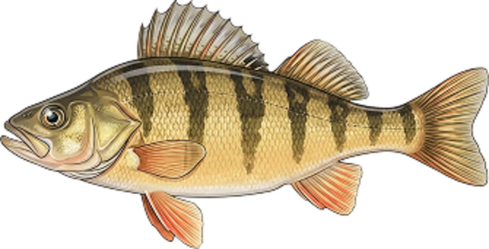
No survey data
Abundance (CPUE)

Understanding Abundance
Abundance ratings are based on Catch Per Unit Effort (CPUE) measurements conducted by the MN DNR, and represent a snapshot of a species population at a given point in time
Source: Minnesota Department of Natural Resources. Survey cadence may vary by state and water body.Species Lengths