Size
7,204ac
Boat Launch
Carry-in Launch
Toilet
No
Boat Dock
Species in Mosquito Creek Lake
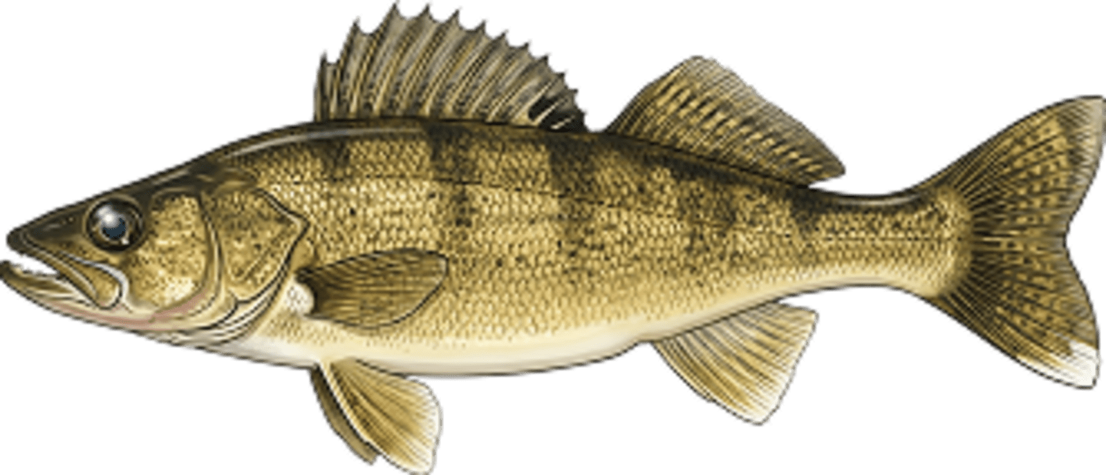
Walleye
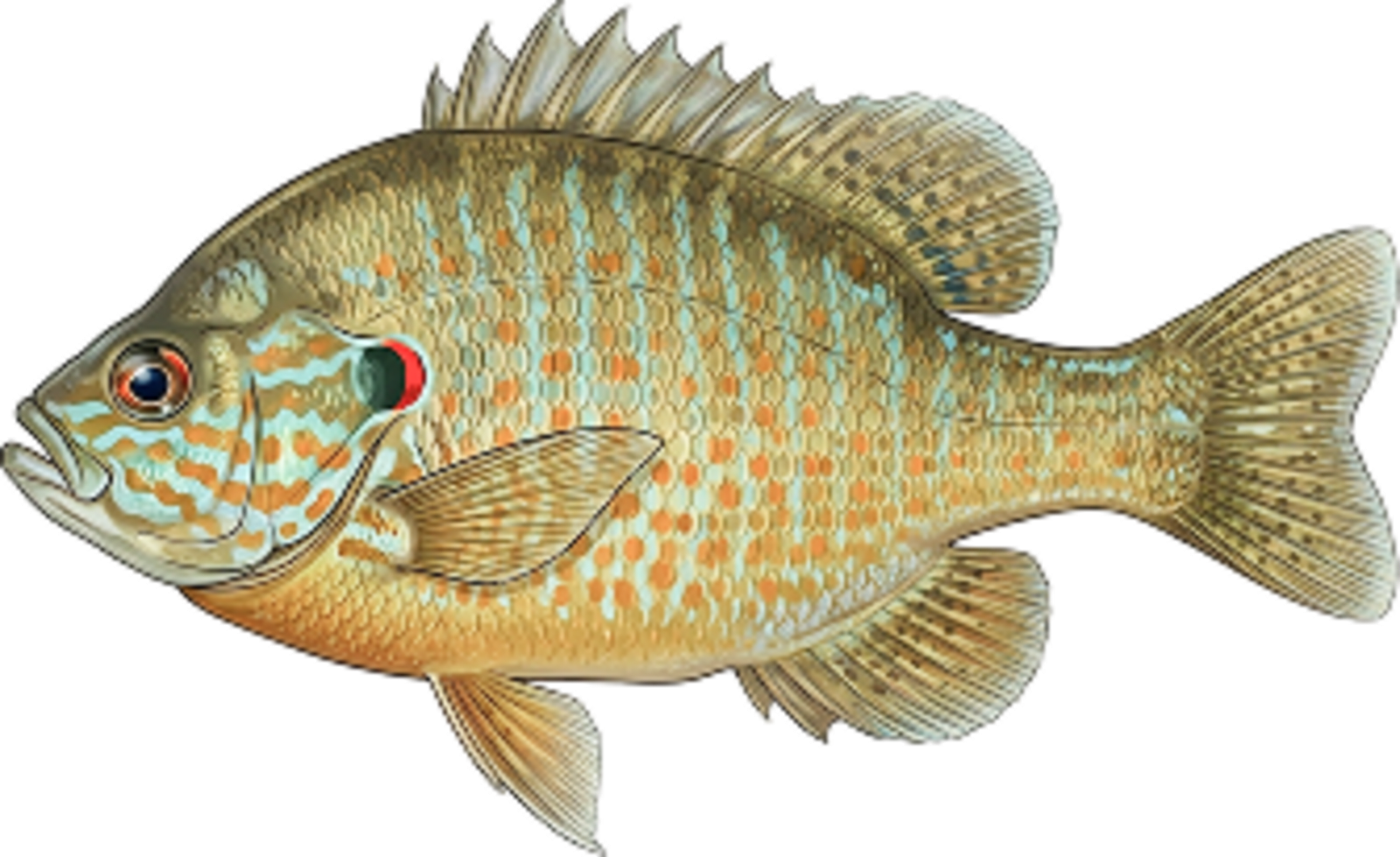
Pumpkinseed
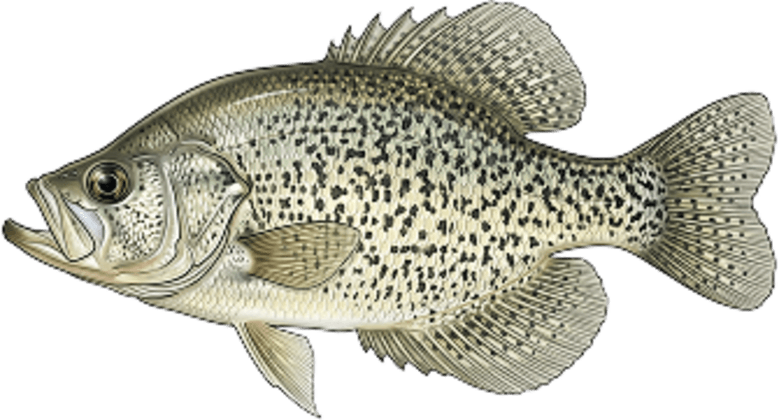
Crappie
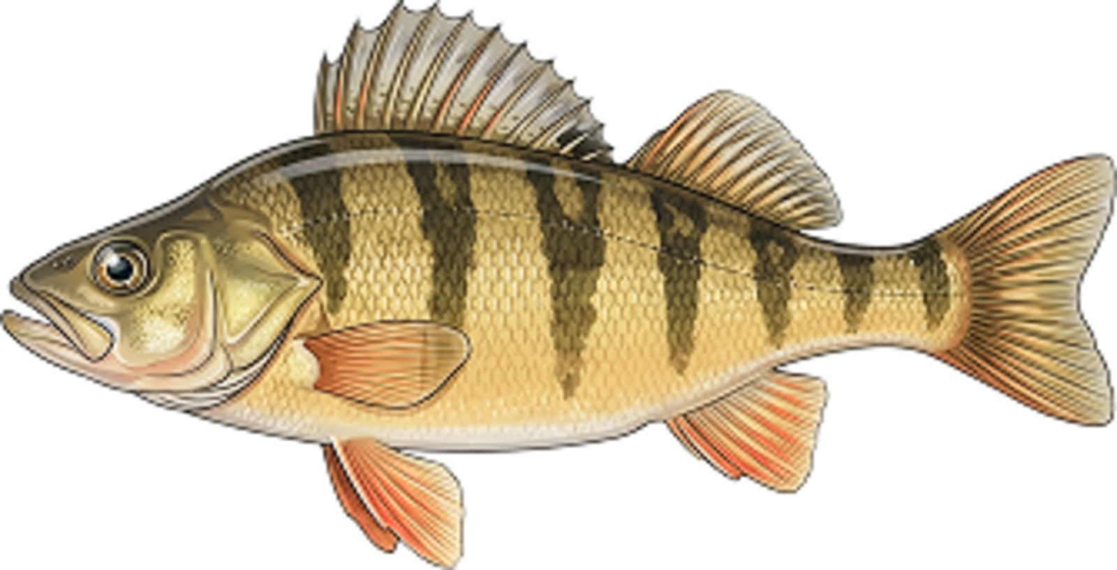
Perch
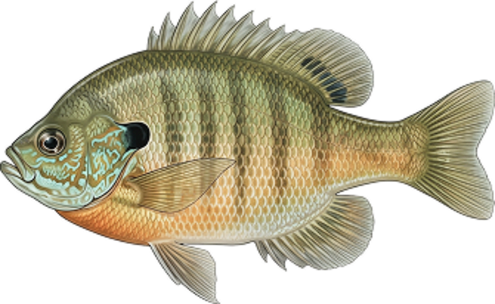
Bluegill
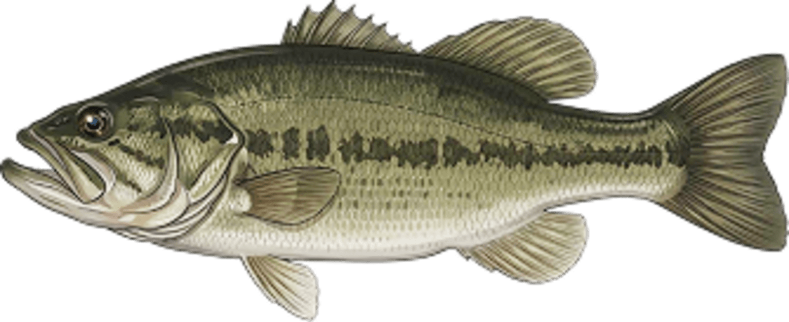
Largemouth bass
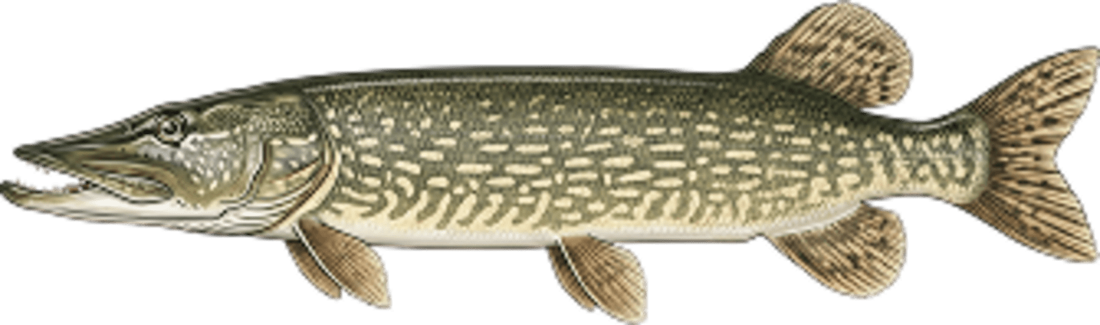
Northern pike
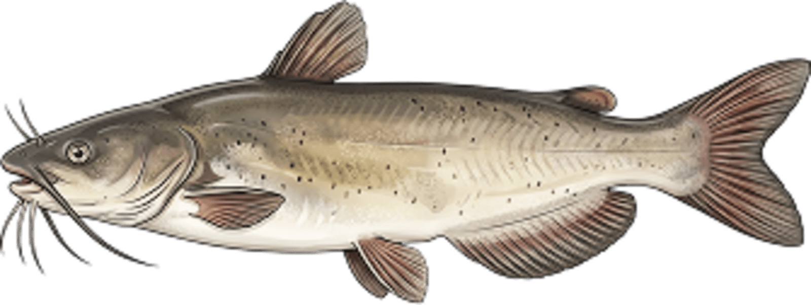
Channel catfish
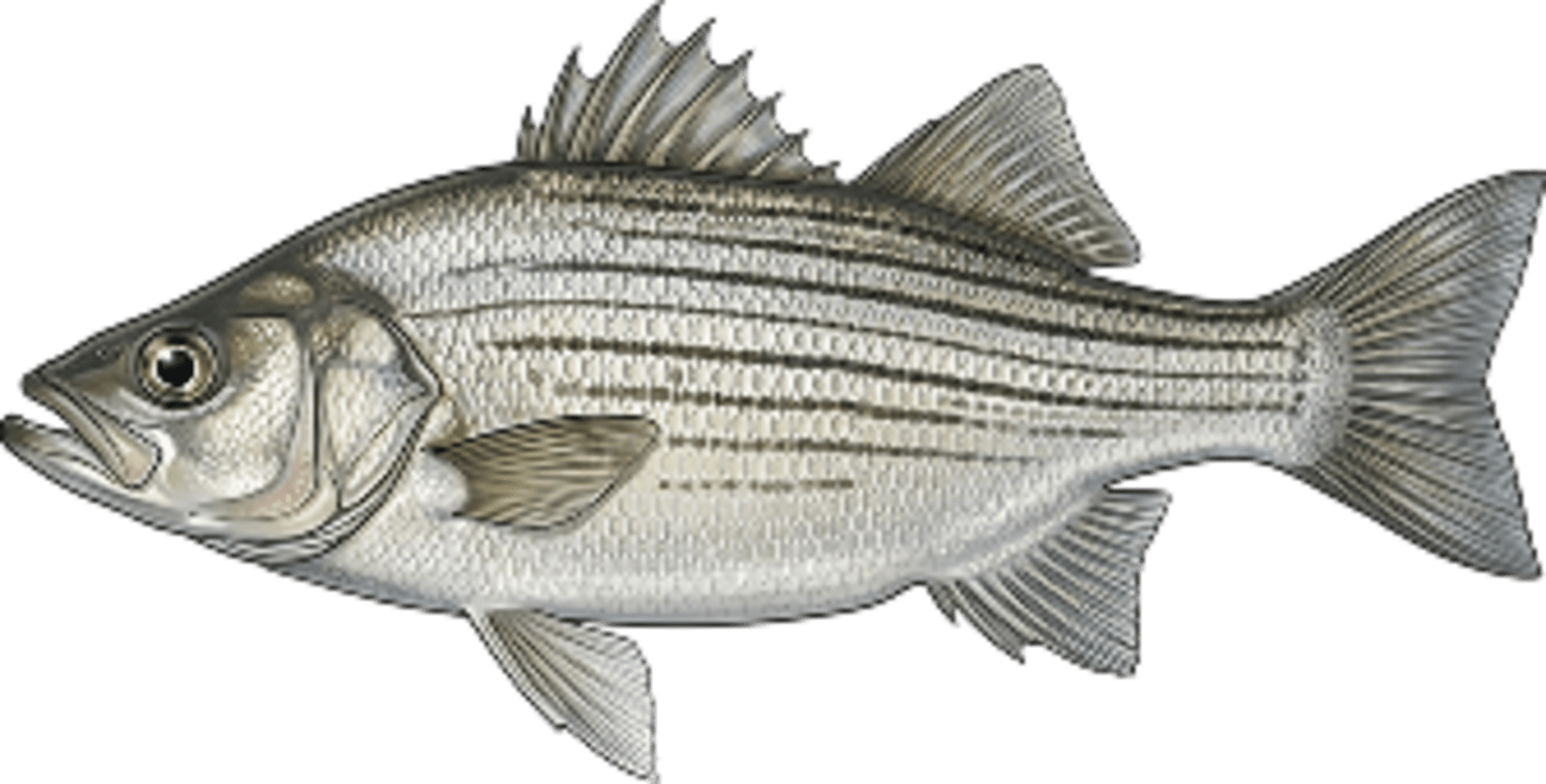
White bass
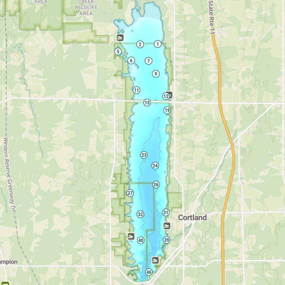
Mosquito Creek Lake Map
Fishing Regulations
Special Fishing Regulations: This lake has special fishing regulations that differ from statewide or border water regulations for those species identified below and take precedence. Regulations listed below are currently in place. Visit the fishing regulations page for links to upcoming regulations for specific lakes.
Special Waterbody Regulations
- Trotlines may be used in Mosquito Lake north of the causeway and south of a line of buoys designating the wildlife refuge
Special Species Regulations
- Black Crappie: In Mosquito Lake, for Black Crappie over 9 inches, daily limit = 30
- Sauger: In Mosquito Lake, for Sauger larger than 15 inches, daily limit = 6
- Saugeye: In Mosquito Lake, for Saugeye larger than 15 inches, daily limit = 6
- Walleye: In Mosquito Lake, for Walleye larger than 15 inches, daily limit = 6
- White Crappie: In Mosquito Lake, for White Crappie over 9 inches, daily limit = 30
Features
Mosquito Lake is one of the largest lakes in Ohio, and its many recreational opportunities attract both fisherman and pleasure boaters. Mosquito Lake State Park provides excellent camping and day-use facilities. The Army Corps Of Engineers completed the Mosquito Creek Dam project in 1953. The primary purpose of this reservoir is flood control and to insure an adequate domestic water supply. Because of its proximity to large populated centers, Mosquito Lake receives heavy boating pressure throughout the year. Special speed regulations are in effect. A maximum speed limit of 25 mph is posted for all waters south of the causeway. A special water skiing area is provided near the state park. Water skiing is prohibited north of the causeway and a 15 mph speed limit is enforced. A series of buoys at the far north end of the lake defines the boundary of Mosquito Lake Wildlife Area. Fishing, hunting or boating are prohibited in this area. A natural spillway is located at the upper end of the lake. When the elevation of the lake exceeds 904 feet, the lake reverses its flow. The water moves over the spillway and flows into Grand River and eventually empties into Lake Erie.
Forage
Gizzard shad is the primary forage fish for the larger predators. Spottail and common shiners are also abundant. Yellow perch, bluegill, logperch, johnny darter and bluntnose minnow also contribute to the diversity of the forage base.
Seasonal Movements
Mosquito Lake’s fish follow the typical seasonal patterns based on spawning habits.
Weather
Get Your Line in the Right Water
Quickly find the best places to fish and plan your day right.
Top Fish Species
Walleye
9-28 in
Length Range
18 in
Length Range
2025
Surveyed
Abundance (CPUE)
Understanding Abundance
Abundance ratings are based on Catch Per Unit Effort (CPUE) measurements conducted by the MN DNR, and represent a snapshot of a species population at a given point in time
Source: Minnesota Department of Natural Resources. Survey cadence may vary by state and water body.Species Lengths