Size
NA
Boat Launch
Carry-in Launch
Toilet
Yes
Boat Dock
Species in Salt River
Overview
Largemouth bass populations continue to grow. Both white and black crappie are abundant and catfish are well established. 18,600 acres
Salt River Map
Features
Clarence Cannon Dam and Mark Twain Lake are publicly owned and administered by the US Army Corps of Engineers. The project provides flood control, hydroelectric power, recreation, fish and wildlife conservation and improves navigation on the Mississippi River. The lake was impounded in 1984, creating one of the newest impoundments in Missouri.When the lake was flooded, timber was removed from the main lake basin from the town of Florida east toward the dam. Many areas of the lake have areas of standing timber. Navigation through some of these areas can be difficult as cut-off stumps are present. The land from the waters edge inland to the government boundary stakes is owned by the federal government and is open for public use. Camping is permitted only at designated sites. Modern day-use areas, picnic grounds and boat launching facilities attract many anglers. This lake is extremely popular with tournament fishermen, and increased boating traffic on weekends and holidays is a normal event.The U.S. Army Corps of Engineers has designated the west end of the Middle Fork Arm as a waterfowl resting area. This area is closed to all boating and hunting from October 15 through December 31.The U. S. Army Corps of Engineers has a telephone number and local radio frequency that provide information about camping, fishing and special events. The phone number is 1-314-735-2619 for recorded information. When you are near the dam, tune the radio to 530 AM.Day navigation markers have been placed throughout the lake. These large signs are placed just above the high water mark and help boaters establish their location.Anglers should be aware of special regulations on walleye, largemouth bass and crappie. Consult the visitors center for special restrictions. They are also posted at most public access sites.
Forage
Gizzard shad are extremely abundant and provide the primary forage for most species. In fact, their significance is paramount as they drive the system. Newly hatched gizzard shad are small enough to be preyed upon by juvenile panfish and gamefish alike. Shad hatches are excellent in those years when lake levels flood shoreline vegetation during the early summer period. Other minnow species and juvenile panfish are important components.
Seasonal Movements
Walleye move into the upper reaches of the North and South Fork of the Salt River to spawn. It is believed that the upper end of Lick Creek is also utilized.
Weather

56°Feels like 56° 89°
89° 68°
68°

89°68°7:11 AM
6:32 PM

2 mph
Southeast

0 in
Rain

29.97 inHg
Falling

SundaySu
89° / 68°

MondayMo
91° / 73°

TuesdayTu
90° / 66°

WednesdayWe
78° / 61°
ThursdayTh
73° / 54°
FridayFr
67° / 42°
Moon Phase

October 11, 2026
1% Illumination
waxing crescent, getting brighter


SundaySu10/11
MondayMo10/12
TuesdayTu10/13
WednesdayWe10/14
ThursdayTh10/15
FridayFr10/16
SaturdaySa10/17
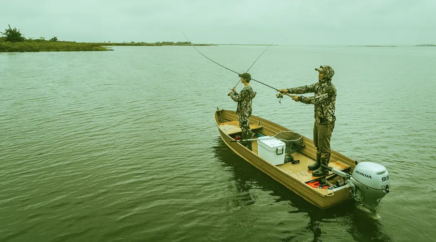
Get Your Line in the Right Water
Quickly find the best places to fish and plan your day right.
Top Fish Species
Channel catfish
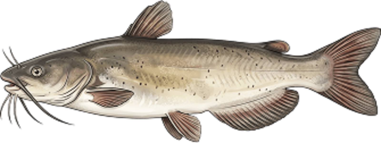
No survey data
Abundance (CPUE)

Understanding Abundance
Abundance ratings are based on Catch Per Unit Effort (CPUE) measurements conducted by the MN DNR, and represent a snapshot of a species population at a given point in time
Source: Minnesota Department of Natural Resources. Survey cadence may vary by state and water body.Species Lengths