Size
NA
Boat Launch
Carry-in Launch
Toilet
No
Boat Dock
Species in South Branch Zippel Creek
Overview
South Branch Zippel Creek Map
Features
Lake of the Woods is a premier Ontario and United States fishing destination with walleye, smallmouth bass and muskie providing exceptional fisheries. In addition, the lake’s size, maze of islands, bays and scenic shorelines add to the attraction. The Morson, Warroad and Northwest Angle areas offer facilities for anglers, including resorts and fishing camps. Anglers new to this body of water can find navigation difficult and treacherous. No one should venture out on Lake of the Woods without a good compass and an accurate map. The Canadian Coast Guard maintains a system of navigational aids throughout the Canadian portion of Lake of the Woods that assists anglers in safe boating. Buoys are placed to identify hazards and to mark safe navigation channels. When navigating upstream, always keep red buoys on the right (starboard) side and green buoys on the left (Port) side. Proceeding downstream, the green buoy is to the right and the red buoy is on the left. Isolated rock bars or hazards are marked with black buoys. The provinces of Manitoba, Ontario and the state of Minnesota share the waters of Big Traverse Bay and the Northwest Angle. Anglers must possess the proper license(s) and be aware of current fishing regulations. The Northwest Angle is located on the west shore of Lake of the Woods and is the northernmost point of land in the lower United States. A famous winter fishery for walleye, sauger and northern pike has developed. Many resorts and motels stay open throughout the winter fishing season and offer icehouse rentals, lake transportation and maintain plowed roads on the lake.
Forage
Perch, sucker, cisco, darters and shiners are abundant. Yellow perch populations have expanded to provide abundant prey. The larger predators utilize the abundant cisco. Many are in the 7-to 10-inch range, but large specimens may reach 14 inches. Cisco are very mobile and usually suspend in the main lake basin during much of the year. Rusty crayfish are present in numbers. Smelt may be present because this exotic has established populations in Rainy Lake.
Seasonal Movements
During spring there is a significant movement of walleye up the Rainy River, resulting in large concentrations of fish below the dam at International Falls. After spawning, walleye move slowly down river and disperse along the shoreline of Big Traverse Bay. In late fall, spawning cisco utilize the rock and gravel shoreline sections of Big Traverse Bay. Large walleye and northern pike follow cisco into the shallows. In early spring, spawning northern pike move into Zippel Bay, McGinnis Creek, Rainy River, Warroad River and many other inlets or ditches that have adequate flow.
Weather
Get Your Line in the Right Water
Quickly find the best places to fish and plan your day right.
Top Fish Species
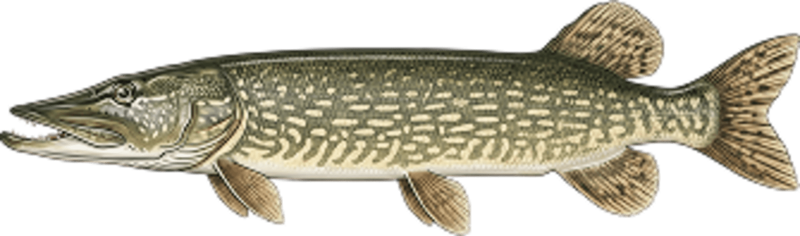
Northern pike
No survey data
Abundance (CPUE)

Understanding Abundance
Abundance ratings are based on Catch Per Unit Effort (CPUE) measurements conducted by the MN DNR, and represent a snapshot of a species population at a given point in time
Source: Minnesota Department of Natural Resources. Survey cadence may vary by state and water body.Species Lengths