Size
NA
Boat Launch
Carry-in Launch
Toilet
No
Boat Dock
Species in Camp Forty Creek
Overview
Camp Forty Creek Map
Features
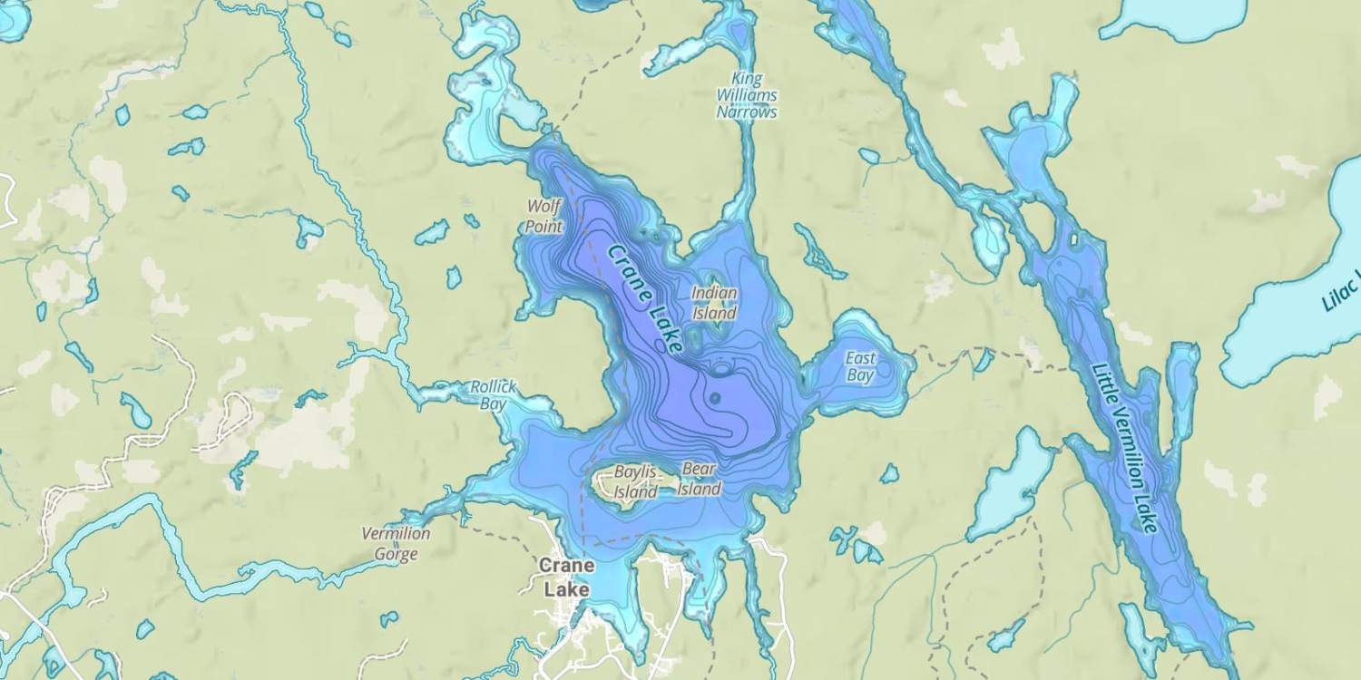
Crane and Sand Point and Little Vermilion Lakes make up the southern portion the chain of lakes that stretch along the International Border between Minnesota and Canada. These lakes are the smallest lakes in the chain, but they are easy to access and a little more manageable then the larger lakes. Crane Lake sits entirely inside the boundaries of Minnesota, while the International Border travels through the middle of Little Vermilion and Sand Point Lakes Visitors to these three lakes not only get fantastic scenery and miles of undeveloped shoreline to look at, they also can find a world class fishery for walleyes, northern pike smallmouth bass and crappie. Secondary species such as sauger, perch, largemouth bass, bluegills and muskies are also available to anglers. Abundant structure can be found throughout the lake. Areas to focus on are rock reefs, weedy bays, points, islands, saddles and areas of current. Visitors can enjoy viewing shear rock cliffs, waterfalls, wildlife and even ancient Indian pictographs etched on rock walls along the Namakan Narrows.
The lake is bordered by the Voyageurs National Park along the western side and Quetico Provincial Park along the eastern shoreline. The National Park Service offers campsites with amenities, boat tours and other services to the public. Camping on the lake requires a camping permit. Contact Voyageurs National Park Headquarters at (218)-283-6600 for any questions you might have.
Anglers wanting to fish the Canadian waters of Sand Point Lake and Little Vermilion Lake will need to obtain a Remote Access Border Crossing permit, as well as, an Ontario Non-Resident Fishing License. These licenses and permits are obtainable at most ports of entry. Additionally, if you want to fish with live bait while in Canadian waters, you must purchase bait from the Canadian side of the border. Any questions can be directed to the Minnesota Department of Natural Resources (MDNR) or by contacting local park offices or by contacting resorts around the lake.
Forage
Numerous varieties of minnow species can be found on all three lakes. Bluntnose minnow, spottail shiner, darters, golden shiner, mottled sculpin, sculpin, slimy sculpin, spottail shiner and trout-perch are a few of the common species. Ciscoes and juvenile perch also provide forage for larger walleyes and northern pike.
Seasonal Movements
Walleyes make seasonal movements during the spring and fall. Starting around mid-May, many walleyes will start migrating to river and creek inlets, shallow gravel shorelines and sandy points looking for suitable spawning conditions. Funnel areas which has a current flowing through them, such as Namakan Narrows and King Williams Narrows, can also attract spawning walleyes. During the summer walleyes will transition throughout the lake relating to a variety of structure. Early in the year shallow, warm water bays and inlets around the lake will also see spawning activity from many of the lakes fish species. These can be good areas to begin your search.
Weather
Get Your Line in the Right Water
Quickly find the best places to fish and plan your day right.
Top Fish Species
Rock bass
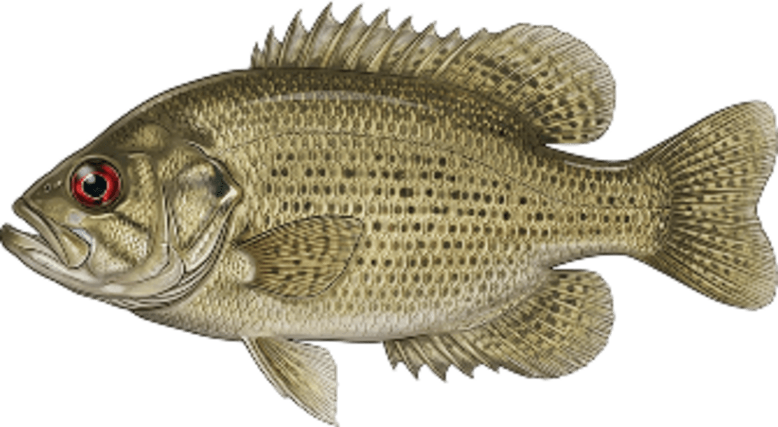
No survey data
Abundance (CPUE)

Understanding Abundance
Abundance ratings are based on Catch Per Unit Effort (CPUE) measurements conducted by the MN DNR, and represent a snapshot of a species population at a given point in time
Source: Minnesota Department of Natural Resources. Survey cadence may vary by state and water body.Species Lengths