Size
NA
Boat Launch
Carry-in Launch
Toilet
Yes
Boat Dock
Species in Belle River
Overview
Use caution when navigating the river due to extremely heavy commercial and recreational boat traffic. The navigation channel is clearly marked by a series of buoys. The river has a very strong current at times, up to 6- miles per hour. After ice out, ice moves down the St. Clair River into Lake St. Clair and ice jams inhibits the passage through the channels around Harsens Island. Use caution when fishing from a boat at this time.
Belle River Map
Features
The only bridge that crosses the St. Clair River is the Bluewater Bridge that joins Port Huron, Michigan with Sarnia, Ontario. Car ferries link Marine City to Sombra, Roberts Landing to Port Lampton and Algonac with Walpole Island.
Use caution when navigating the river due to extremely heavy commercial and recreational boat traffic. The navigation channel is clearly marked by a series of buoys.
During early spring as ice moves down the St. Clair River into Lake St. Clair, ice jams block passage through the channels around Harsens Island.
Forage
Gizzard shad, round gobies, emerald shiner, spottail shiner, trout perch, redhorse and sucker are abundant. Crayfish and mayfly are also utilized.
Seasonal Movements
A significant movement of pre-spawn walleye occurs toward the upper end of the St. Clair River during late winter and early spring. The walleye that spawn in the Thames River and Detroit River move toward Lake Huron and are found in the St. Clair River by early summer. Salmon and trout are present in the river during the cool water period from late fall through early spring. With warming water temperatures they move upstream into Lake Huron. In early spring, smelt enter the St. Clair River to spawn. The lake sturgeon also spawn early in the year on the artificial
Weather
Get Your Line in the Right Water
Quickly find the best places to fish and plan your day right.
Top Fish Species
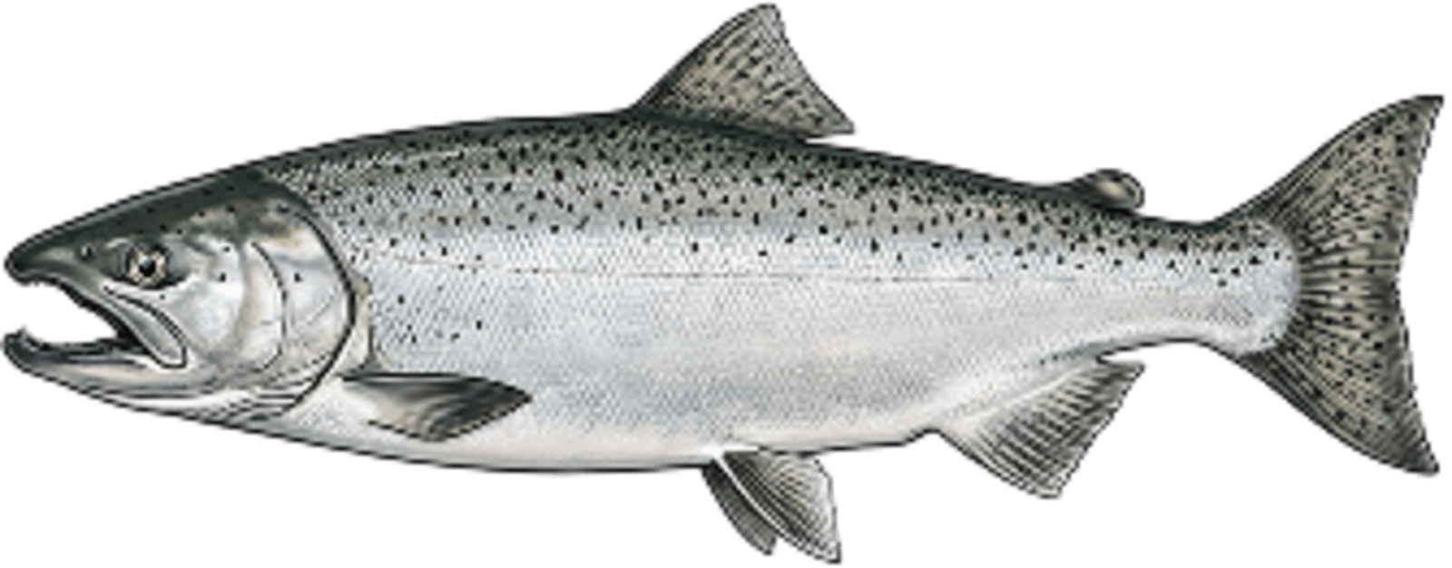
Chinook salmon
No survey data
Abundance (CPUE)
Understanding Abundance
Abundance ratings are based on Catch Per Unit Effort (CPUE) measurements conducted by the MN DNR, and represent a snapshot of a species population at a given point in time
Source: Minnesota Department of Natural Resources. Survey cadence may vary by state and water body.Species Lengths