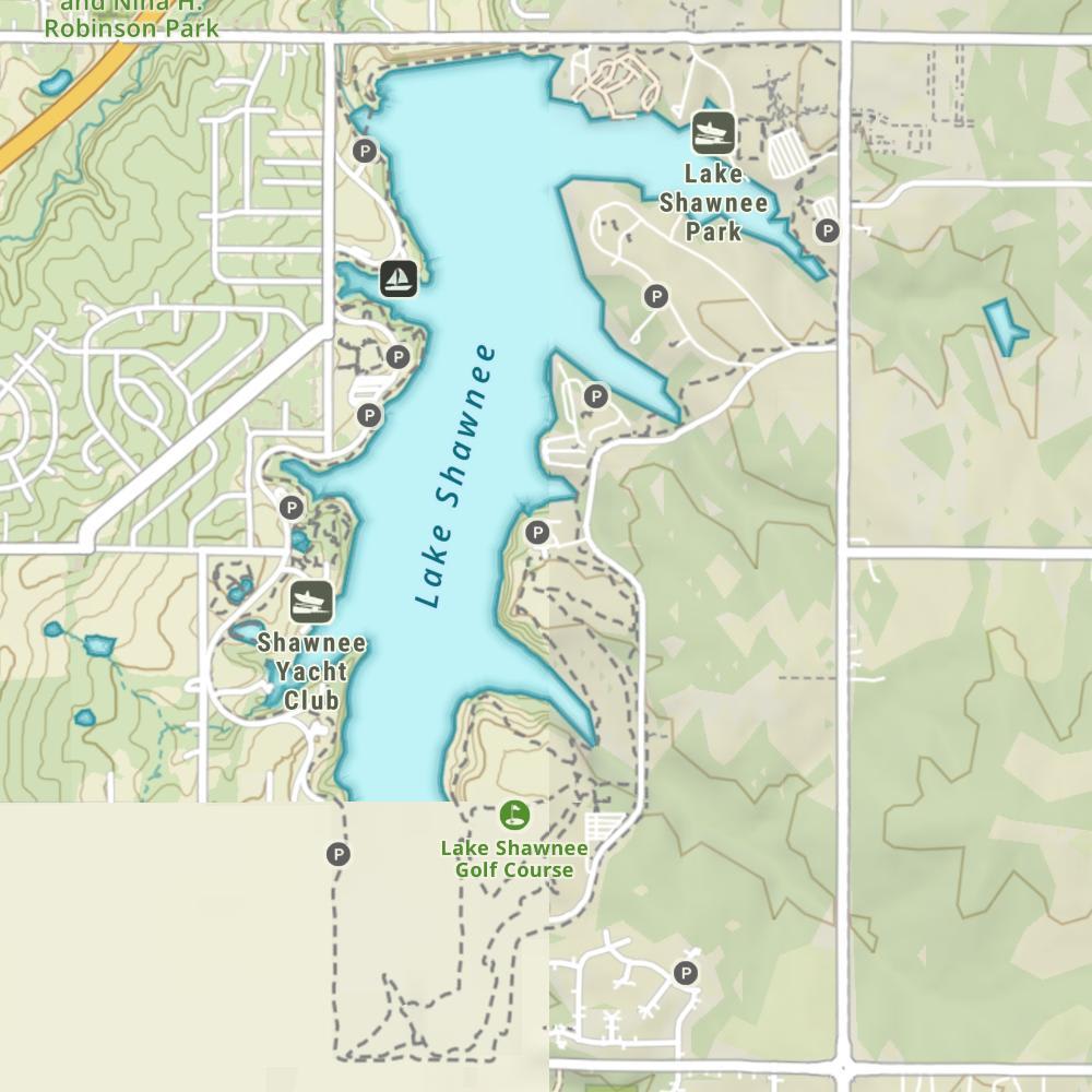
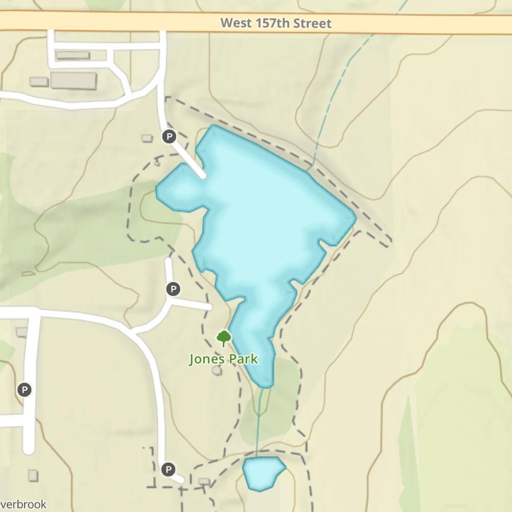
Size
NA
Boat Launch
Carry-in Launch
Toilet
No
Boat Dock
Species in Wakarusa River
Overview
Stocking of walleye and largemouth bass sustains this quality fishery. Abundant crappie and white bass provide plenty of action. Great public use facilities.
Wakarusa River Map
Features
Clinton Lake is an environmental jewel with its clean water and wooded shoreline, set within an agricultural setting. Shoreline development is limited to two large recreation areas. A wildlife refuge located on both sides of the Highway 1023 bridge is close to all traffic from October 15 through January 15. Water skiing is permitted in the lower portion of the lake and buoys are placed within both major arms to indicate the upper limits of the skiing area. An eagle nesting area is located within the Rock Creek Arm. Boaters are reminded to stay at least 200 to 300 yards from any eagle’s nest. No-wake buoys are placed near accesses and no-boat buoys are located near beaches. To ensure compliance, check the most current regulations booklet for length and harvest restrictions for all species, especially the major gamefish.
Forage
The majority of the forage is gizzard shad. Over 90 percent of the population are small adults, ranging from 2.5- to 4-inches, a size suitable for crappie, bass and walleye. Shad production can vary greatly from year to year, depending on weather conditions. Other important forage species include, red shiner, golden shiner, fathead minnow, bluegill and sunfish.
Seasonal Movements
Walleye move to the face of the dam from mid-March through mid-April. Later in May, white bass make the same migration. Some white bass run up the Wakarusa River in late April.
Weather

89°Feels like 89° 89°
89° 70°
70°

89°70°7:28 AM
6:50 PM

9 mph
South

0 in
Rain

29.71 inHg
Falling

SundaySu
89° / 70°
MondayMo
92° / 70°

TuesdayTu
92° / 65°

WednesdayWe
78° / 58°
ThursdayTh
73° / 50°
FridayFr
65° / 42°
Moon Phase

October 11, 2026
1% Illumination
waxing crescent, getting brighter


SundaySu10/11
MondayMo10/12
TuesdayTu10/13
WednesdayWe10/14
ThursdayTh10/15
FridayFr10/16
SaturdaySa10/17
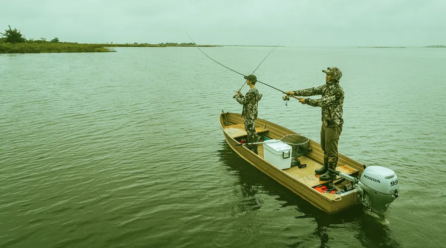
Get Your Line in the Right Water
Quickly find the best places to fish and plan your day right.
Top Fish Species
Channel catfish
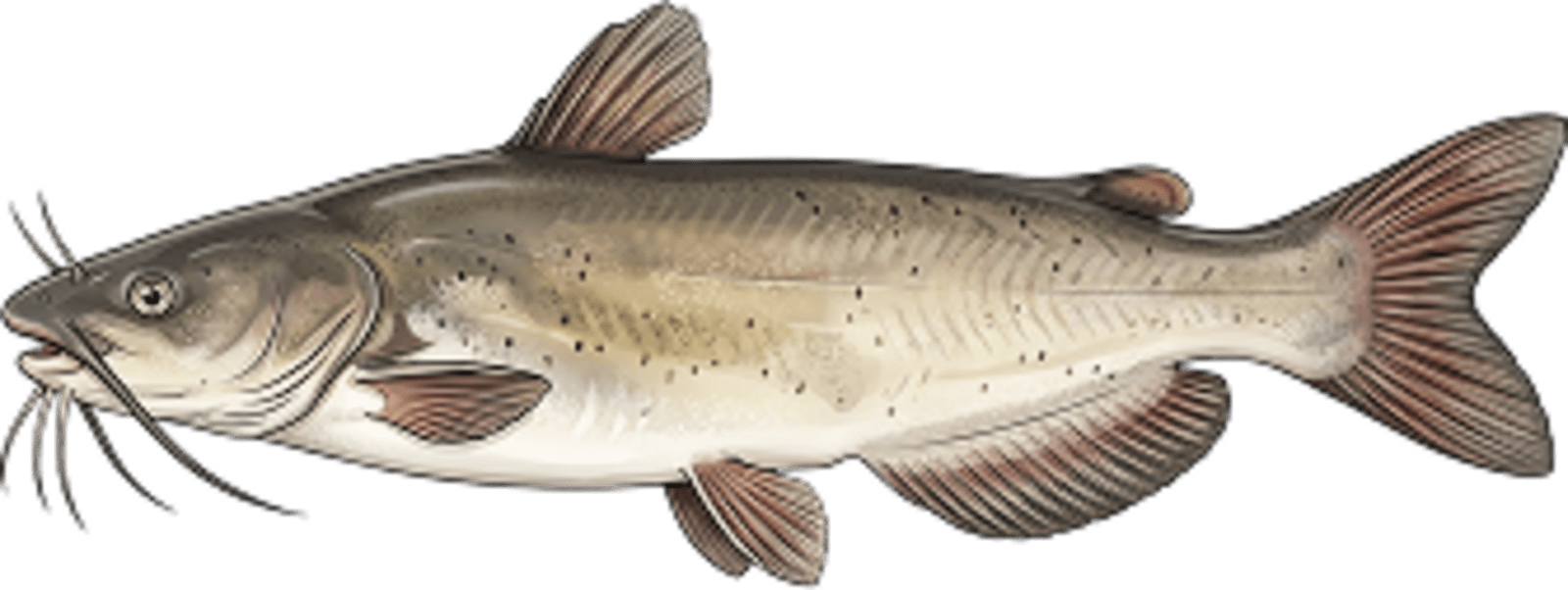
No survey data
Abundance (CPUE)

Understanding Abundance
Abundance ratings are based on Catch Per Unit Effort (CPUE) measurements conducted by the MN DNR, and represent a snapshot of a species population at a given point in time
Source: Minnesota Department of Natural Resources. Survey cadence may vary by state and water body.Species Lengths