Size
5,428ac
Boat Launch
Carry-in Launch
Toilet
No
Boat Dock
Species in Saylorville Lake
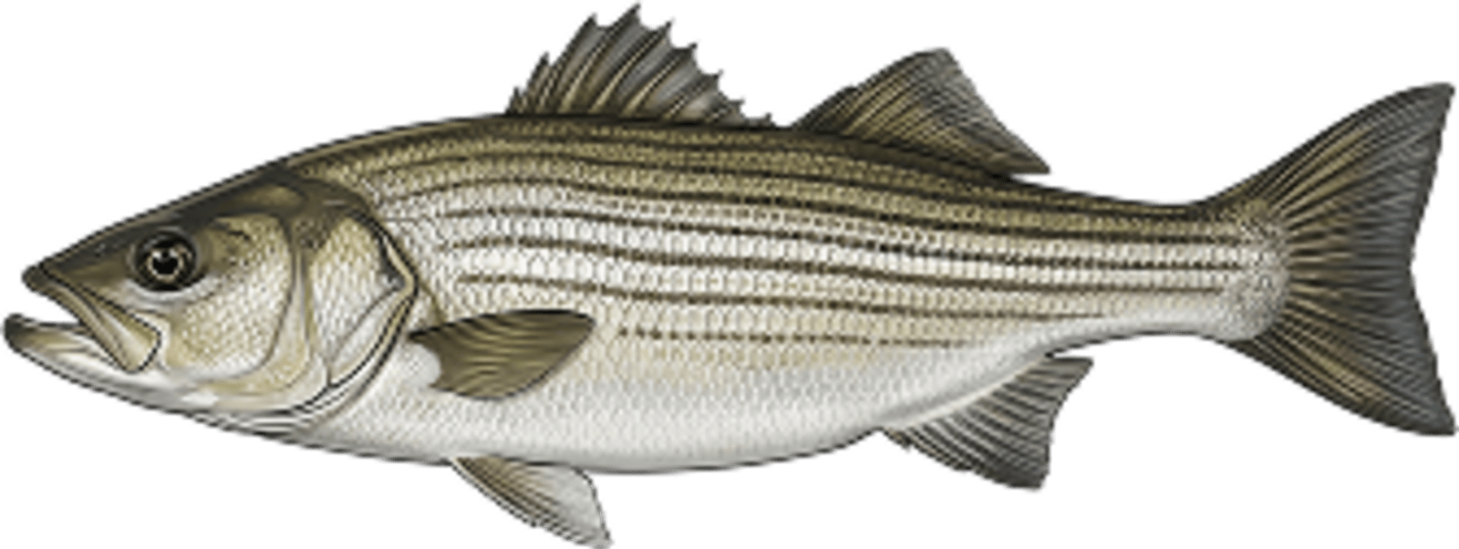
Striped Bass
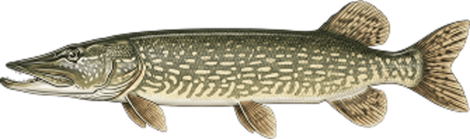
Northern pike
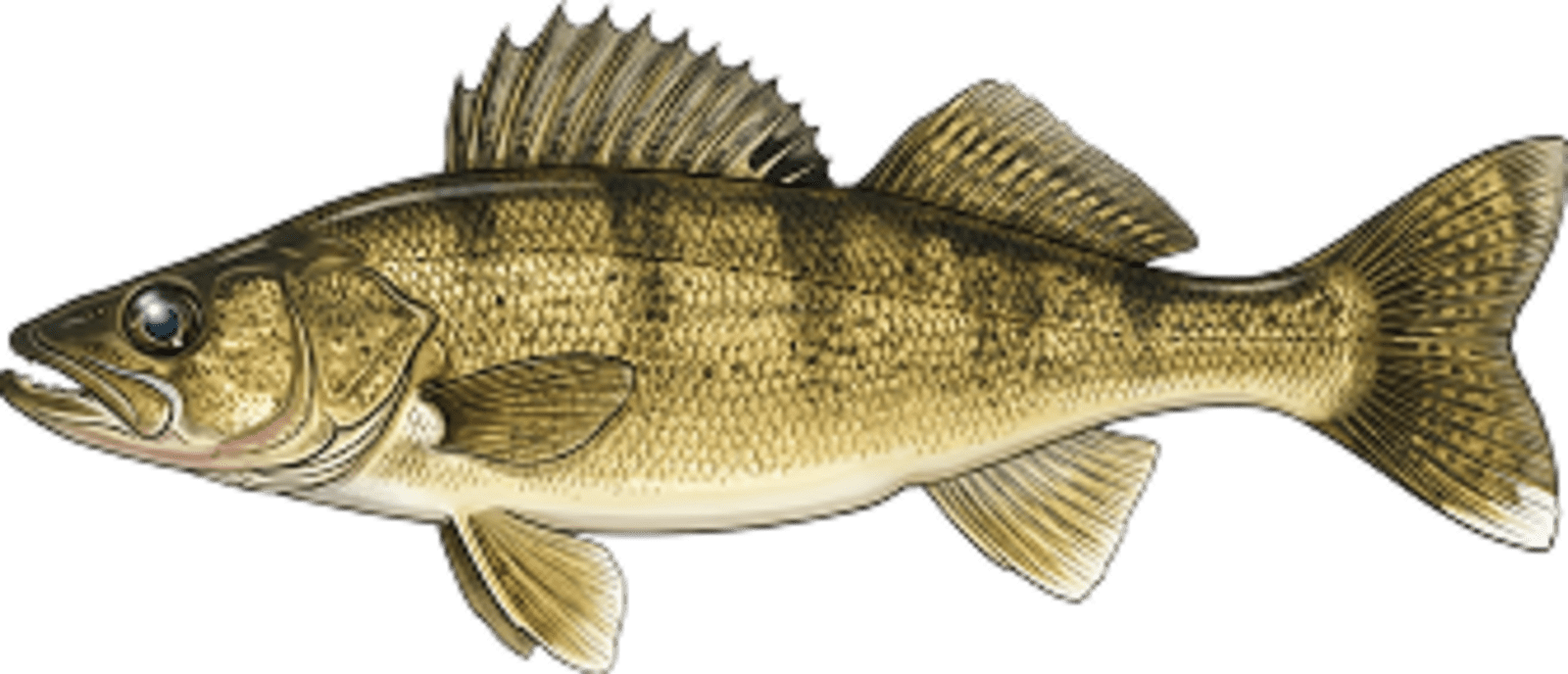
Walleye
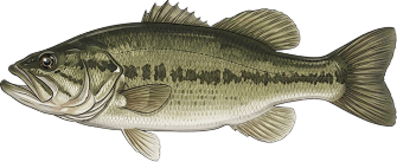
Largemouth bass
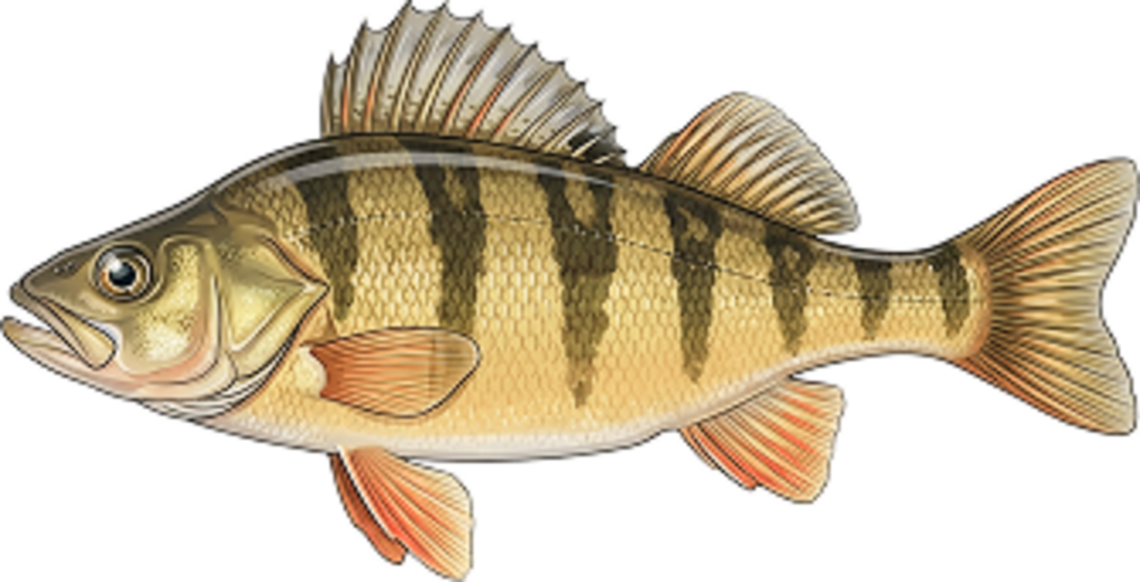
Perch
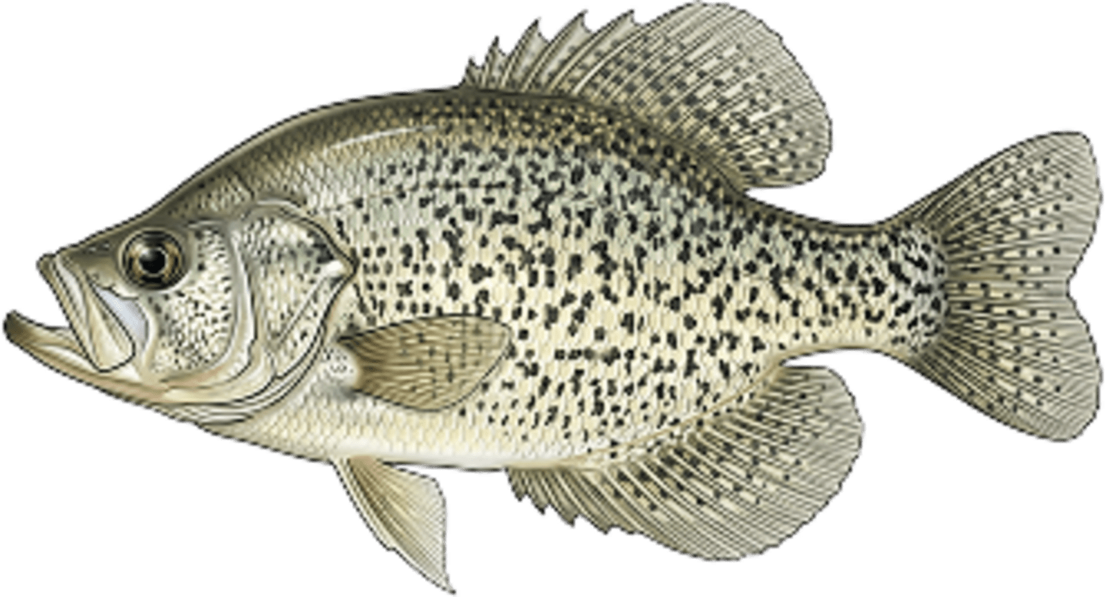
Crappie
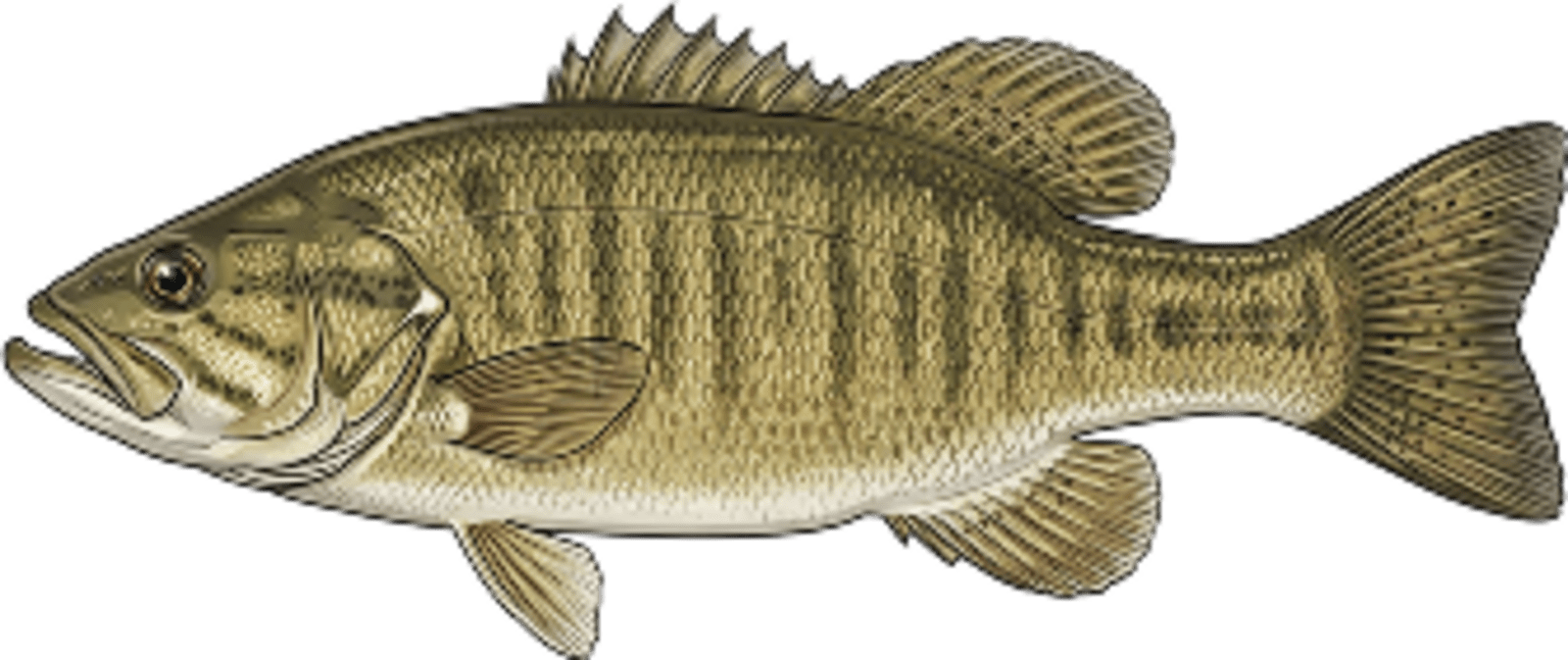
Smallmouth bass
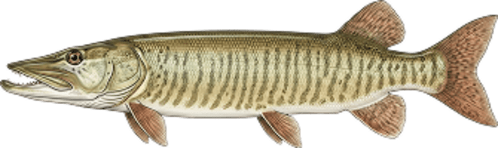
Muskellunge
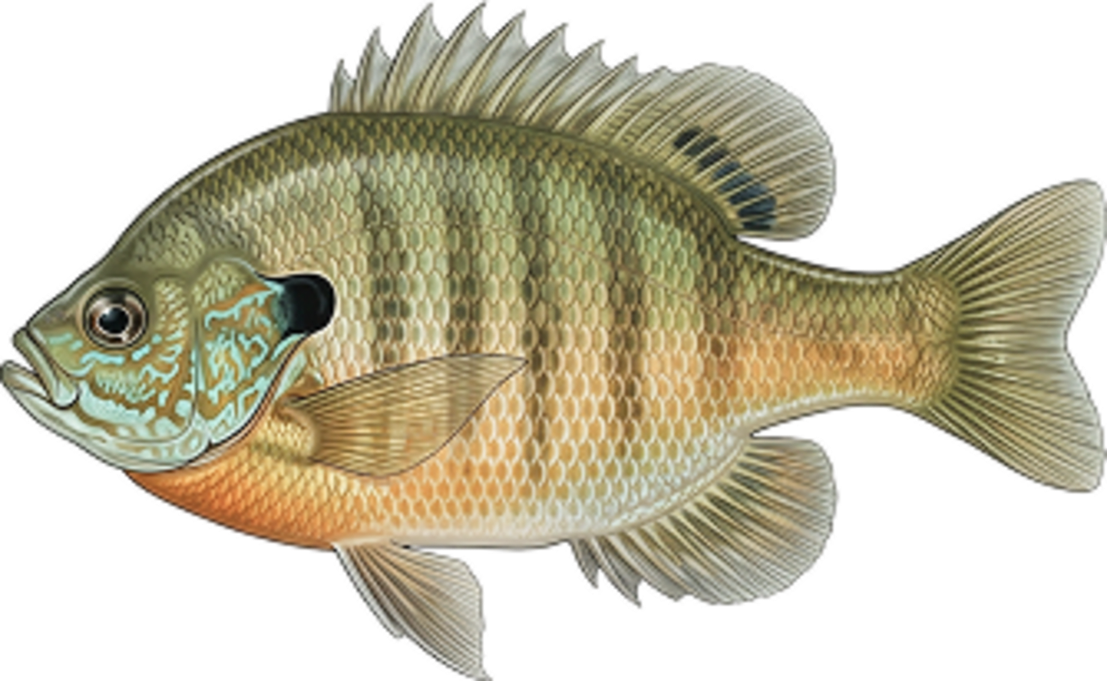
Bluegill
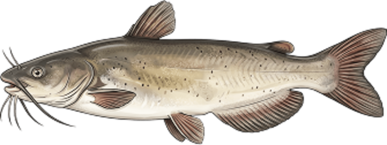
Channel catfish
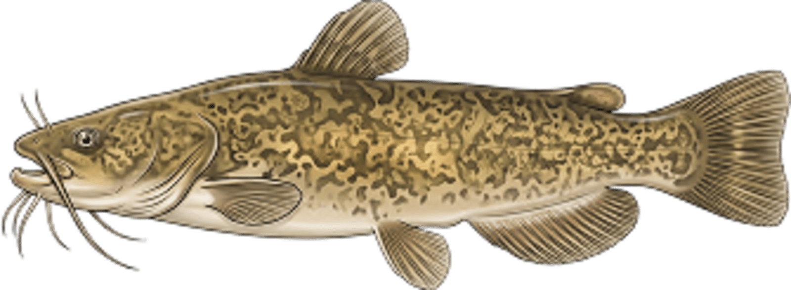
Flathead catfish
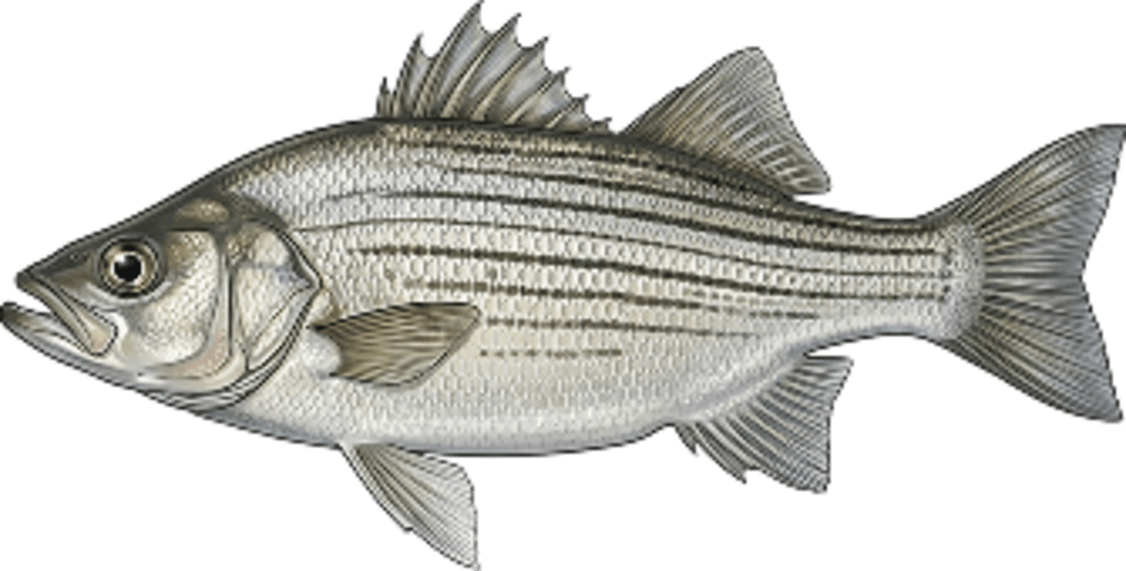
White bass
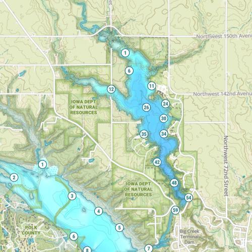
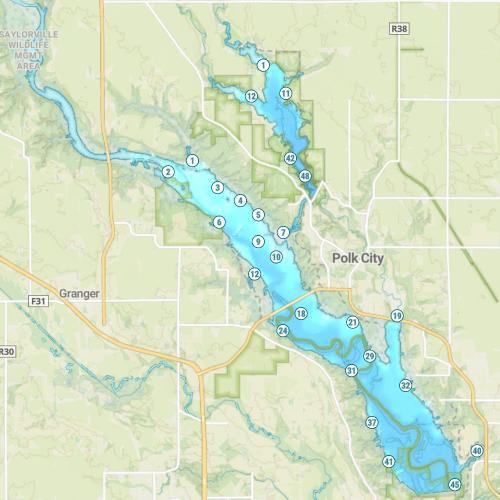
Saylorville Lake Map
Features
During summer, recreation use is heavy, with large powerboats, sailboats, jet skis and fishing rigs. Many anglers fish the early morning hours due to the high daytime use from June through September. There are no special boating restrictions except for the beaches that are marked with buoys. Boaters are reminded to stay 100 yards or more from the outlet tower. Water levels change drastically. “Low water” describes near normal conditions while “high water” indicates levels from 25 to 55 feet above normal. The U.S. Army Corps of Engineers offers an updated recorded telephone message on water levels, boat ramp accesses and flow rates. This information service, called “The Voice of Saylorville Lake” is reached by dialing 515-276-0433. The message does not include fishing reports.
Forage
Gizzard shad are the primary forage base. River shiner, emerald shiner, fathead minnow and bluntnose minnow comprise at to the diversity of the forage base. Juvenile panfish are also utilized.
Seasonal Movements
A small number of white bass and hybrid stripers (wipers) moving upstream in major tributaries during spring. White bass and wipers relate to long shallow points and sand flats during summer when spawning shad are available. Movements of all species can be considered seasonal and relate to river water level fluctuations.
Weather
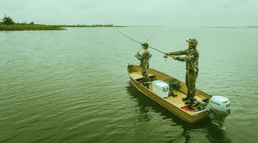
Get Your Line in the Right Water
Quickly find the best places to fish and plan your day right.
Top Fish Species
Striped Bass
No survey data
Abundance (CPUE)
Understanding Abundance
Abundance ratings are based on Catch Per Unit Effort (CPUE) measurements conducted by the MN DNR, and represent a snapshot of a species population at a given point in time
Source: Minnesota Department of Natural Resources. Survey cadence may vary by state and water body.Species Lengths