Size
NA
Boat Launch
Carry-in Launch
Toilet
No
Boat Dock
Species in Upper West Fork West Sabula Slough
Overview
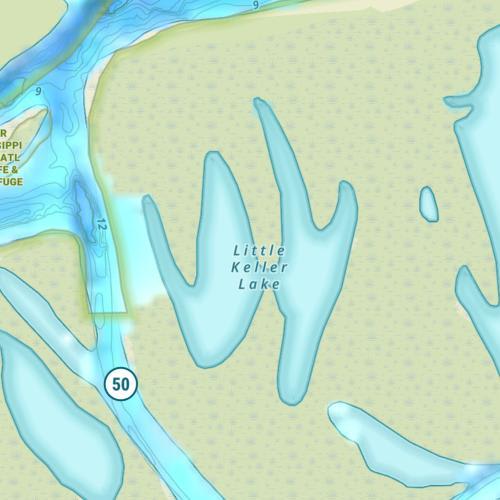
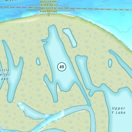
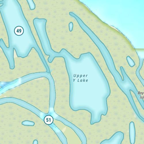
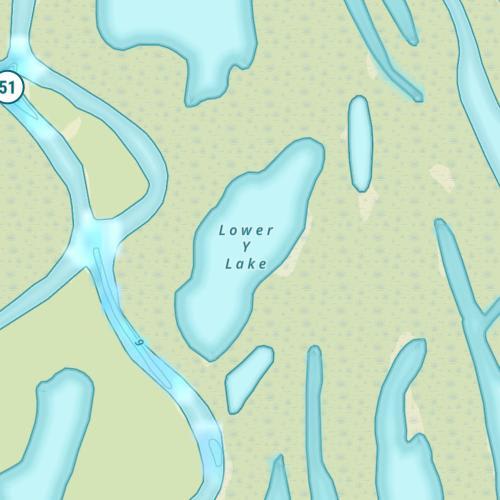
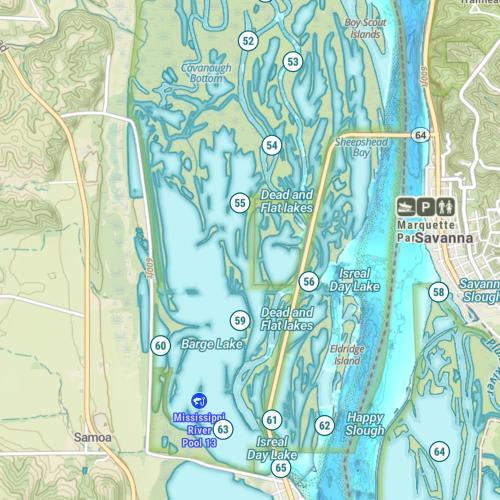
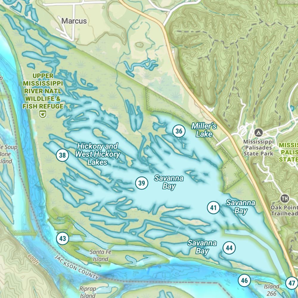
Upper West Fork West Sabula Slough Map
Features
Pool 13 holds much of the scenic qualities of the famous Upper Mississippi Valley. As with other pools along the river, barge and commercial activity is heavy. The only highway bridge across the river is located at Savanna (Highway 52). Portions of the Upper Mississippi National Fish and Wildlife Refuge extend through the length of Pool 13. Pool 13 remains one of the better portions of the Upper Mississippi for largemouth bass fishing. Extensive weed bed development in the backwater complexes provides habitat conducive for high numbers of bass.
Forage
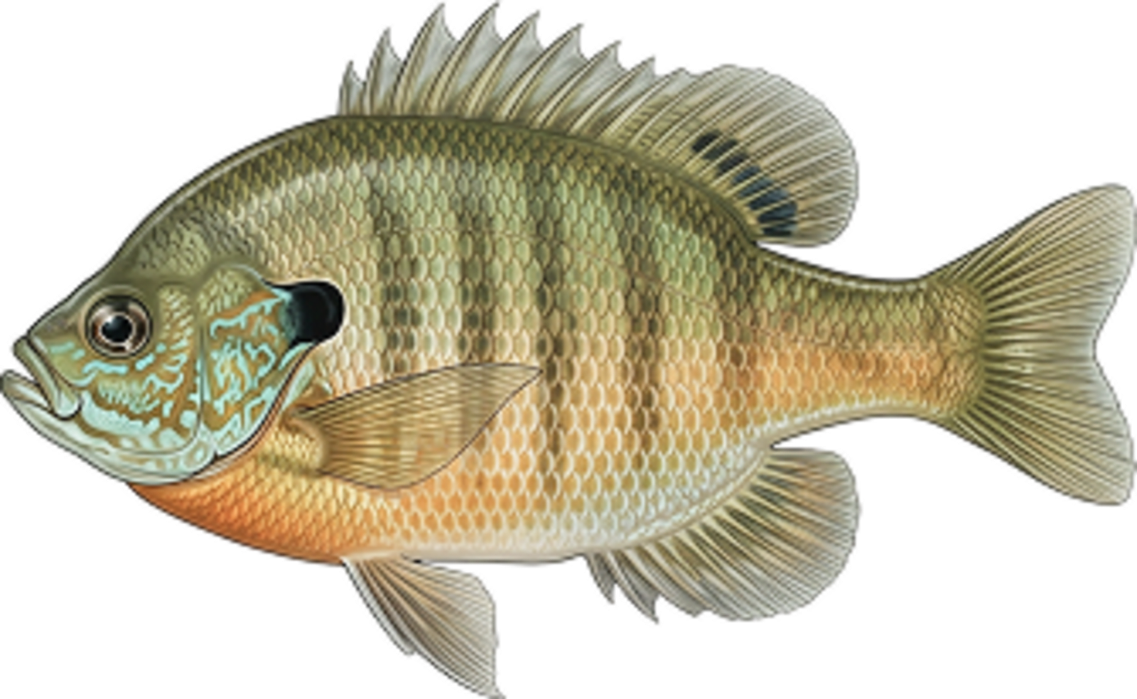
Gizzard shad is the most abundant forage species but, they grow quickly past the size for most feeding fish. Besides shad, there are 20 some species of minnows and shiners, including the bluntnose minnow, emerald shiner and sand shiner. Bluegill, drum and carp also contribute to the forage base of any gamefish. Insects and their larvae, including mayfly and caddisfly, are also fed on.
Seasonal Movements
During March and April, walleye and sauger make an upstream migration and congregate in the tailwater area below Dam 12. Later in the season, white bass make the same movement. These migrations coincide with rising water levels. At the same time white bass are moving to the tailwaters, largemouth bass, crappie and bluegill move to very shallow shoreline areas in the backwaters to spawn.
Weather

81°Feels like 81° 81°
81° 54°
54°

81°54°7:07 AM
6:27 PM

7 mph
South

0 in
Rain

29.98 inHg
Falling

SaturdaySa
81° / 54°
SundaySu
81° / 63°
MondayMo
84° / 61°

TuesdayTu
73° / 52°
WednesdayWe
68° / 51°
ThursdayTh
68° / 49°
Moon Phase

October 10, 2026
0% Illumination
new moon


SaturdaySa10/10

SundaySu10/11
MondayMo10/12
TuesdayTu10/13
WednesdayWe10/14
ThursdayTh10/15
FridayFr10/16
Get Your Line in the Right Water
Quickly find the best places to fish and plan your day right.
Top Fish Species
Bluegill
No survey data
Abundance (CPUE)
Understanding Abundance
Abundance ratings are based on Catch Per Unit Effort (CPUE) measurements conducted by the MN DNR, and represent a snapshot of a species population at a given point in time
Source: Minnesota Department of Natural Resources. Survey cadence may vary by state and water body.Species Lengths