Size
NA
Boat Launch
Carry-in Launch
Toilet
No
Boat Dock
Species in Sandy Chute
Overview
More than 75 species of fish inhabit this pool. Most anglers go after bluegill, catfish and white bass. 40.7 river miles mapped.
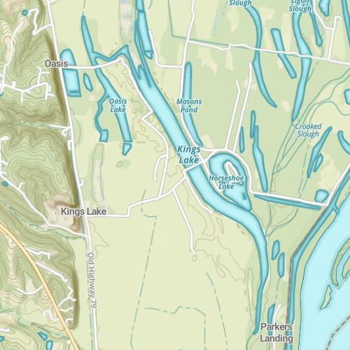
Sandy Chute Map
Features
Alton Pool is one of many pools located on the Mississippi River. This section lies on the Illinois and Missouri border. All water contiguous with the flow of the Mississippi River may be fished with either an Illinois or Missouri license. Fishing within tributaries requires a license for that state. Ensure familiarity with creel limits for each state. Limestone escarpments rise abruptly from the river’s edge, making this section of the river very scenic. Numerous eagle feeding areas, heron rookeries and waterfowl feeding areas are located along the pool adding wildlife viewing to the list of recreational opportunities available on Alton Pool. The Mississippi River is highly noted as a means of moving goods into the interior of the country. As a result, barge traffic is heavy. Fleeting areas are numerous. During summer, large recreational craft from the many harbors and yacht clubs on both sides travel along the pool.
Forage
Gizzard shad make up the bulk of the forage base, based on abundances. But by utilization, emerald shiner, river shiner, various chubs and minnows comprise the majority of food. Spottail shiner, red shiner, mosquito fish and young-of-the-year of several species are used as well. Small bluegill are an important part of the food chain. Crayfish, aquatic insects and their larvae, small mussels and snails are used at times.
Seasonal Movements
Sauger, walleye and white bass make upstream spawning migrations. Sauger and walleye often tend to collect in the tailwater area below Dam #25 in the fall, but those numbers are only a small portion of the population. The actual spawning run beings with rising water levels and temperatures during March, and seems to peak with the highest water level of the spring. This often occurs during the first half of April. White bass enter tributaries or collect at the tailwater during April and May to spawn over gravel, rock and sometimes coarse sand bottom.
Weather

87°Feels like 87° 90°
90° 64°
64°

90°64°7:08 AM
6:30 PM

2 mph
South

0 in
Rain

29.88 inHg
Stable
SundaySu
90° / 64°

MondayMo
93° / 71°
TuesdayTu
91° / 70°

WednesdayWe
82° / 62°
ThursdayTh
77° / 53°

FridayFr
67° / 42°
Moon Phase

October 11, 2026
1% Illumination
waxing crescent, getting brighter


SundaySu10/11
MondayMo10/12
TuesdayTu10/13
WednesdayWe10/14
ThursdayTh10/15
FridayFr10/16
SaturdaySa10/17
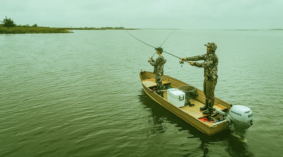
Get Your Line in the Right Water
Quickly find the best places to fish and plan your day right.
Top Fish Species
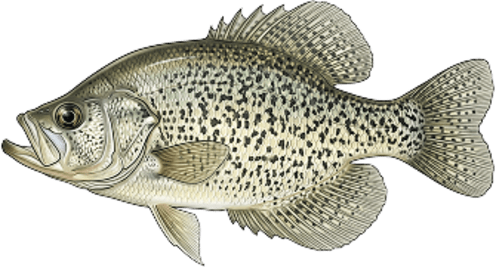
Crappie
No survey data
Abundance (CPUE)

Understanding Abundance
Abundance ratings are based on Catch Per Unit Effort (CPUE) measurements conducted by the MN DNR, and represent a snapshot of a species population at a given point in time
Source: Minnesota Department of Natural Resources. Survey cadence may vary by state and water body.Species Lengths