Size
NA
Boat Launch
Carry-in Launch
Toilet
No
Boat Dock
Species in Atchison Creek
Overview
One of the state's best for largemouth, crappie and white bass. Good numbers of channel and flathead catfish provide action. Excellent lake facilities. 18,900 acres
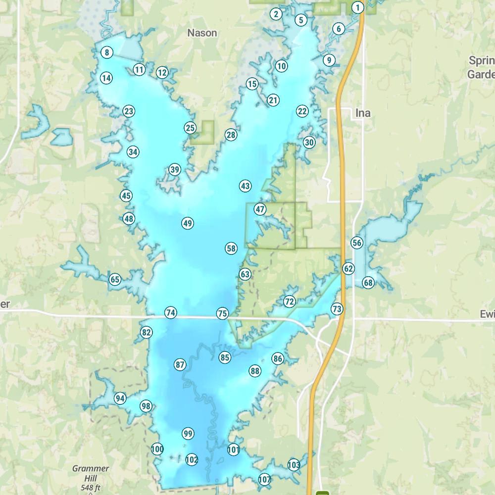
Atchison Creek Map
Features
Rend Lake is the second largest impoundment in Illinois. This U.S. Corps of Engineer project has become one of the most popular multi-recreational resources in southern Illinois. Its fishing reputation rests with largemouth and crappie. Illinois biologists have observed that Rend "…probably has the best bass population" in the state.--Three large mining companies remove coal that lies about 600 feet beneath Rend Lake. The coal seams are 4 to 12 feet thick, and after the coal has been removed, the earth's surface often drops (or subsides) an average of 5 feet. When this occurs, new fishing structure is created because some wooded shoreline areas are flooded and become part of the lake.--North Marcum Access and parts of the Rend Lake Marina sank in the past and had to be rebuilt. Planned mining that will extend under Jackie Branch to Ward Branch is expected to cause changes in structure. If the surface drops, trees and stumps now in depths to 3 feet may drop as deep as 8 feet.--Buoys near ramps, marinas and bridges, and in the Sandusky, Marcum and Jackie Branches mark several no-wake zones. Other buoys indicate no-boat zones near beaches, the dam and spillway. During the waterfowl migration season, no-boat buoys are also placed in an area from Bluegill Hole Access to Ina Access.--Be aware of wind conditions on Rend Lake, as the lake quickly becomes rough during high wind periods.--State and federal agencies manage nearly 20,000 acres around the lake that offer a variety of outdoor opportunities, including upland game, waterfowl and deer hunting. Sub-impoundments on the upper ends of the Big Muddy and Casey Fork arms are drawn down during summer so vegetation can grow. These areas are allowed to fill during fall and winter to provide additional habitat for ducks and geese.
Forage
Gizzard shad provide the bulk of the forage. Threadfin shad, which are smaller in size and reproduce more often, have been introduced. Bullhead minnow, red shiner, young-of-the-year panfish and rough fish also contribute to the forage base. Crayfish, insects and larvae are also utilized.
Seasonal Movements
White, and hybrid striped bass all move up the Big Muddy and Casey Fork arms in spring, when there is increased water flow. Catfish, which winter in deep water, move to shallow water about the same time.
Weather

56°Feels like 56° 92°
92° 66°
66°

92°66°7:01 AM
6:22 PM

0 mph
South

0 in
Rain

30 inHg
Stable

MondayMo
92° / 66°

TuesdayTu
94° / 70°

WednesdayWe
86° / 64°
ThursdayTh
81° / 55°

FridayFr
69° / 39°
SaturdaySa
61° / 37°
Moon Phase

October 12, 2026
4% Illumination
waxing crescent, getting brighter


MondayMo10/12
TuesdayTu10/13
WednesdayWe10/14
ThursdayTh10/15
FridayFr10/16
SaturdaySa10/17

SundaySu10/18
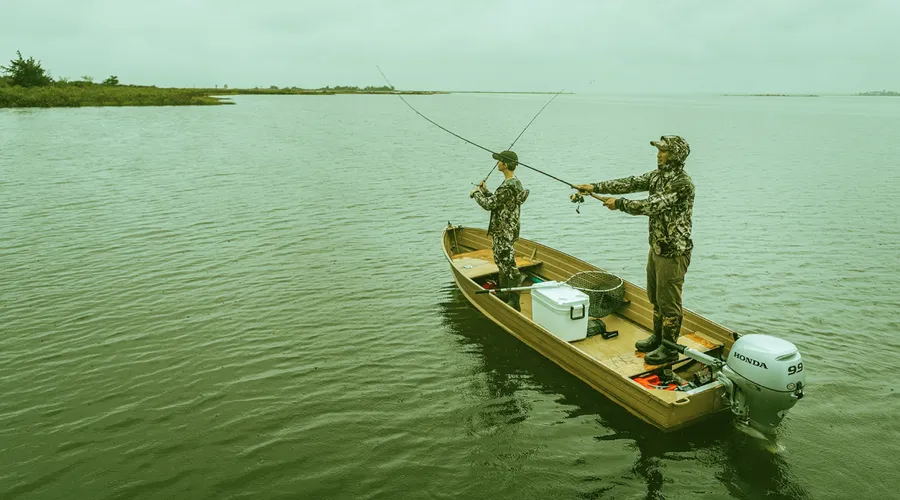
Get Your Line in the Right Water
Quickly find the best places to fish and plan your day right.
Top Fish Species
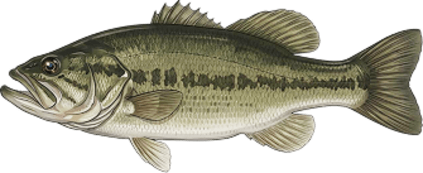
Largemouth bass
No survey data
Abundance (CPUE)

Understanding Abundance
Abundance ratings are based on Catch Per Unit Effort (CPUE) measurements conducted by the MN DNR, and represent a snapshot of a species population at a given point in time
Source: Minnesota Department of Natural Resources. Survey cadence may vary by state and water body.Species Lengths