Size
NA
Boat Launch
Carry-in Launch
Toilet
No
Boat Dock
Species in Pecatonica River
Overview
Best known for catfish, walleye and crappie. Smallmouth bass and northern pike sneak in too! 50 total river miles mapped.
Pecatonica River Map
Features
Best known for catfish, walleye and crappie, smallmouth bass and northern pike sneak in too!
The Rock River is a high-quality stream that drains about 10,800 square miles of northern Illinois and southern Wisconsin. Within Illinois, there are seven low-head dams, most of which are used for hydroelectric power generation. There is a nuclear power plant located near Byron which uses river water for cooling. Within Illinois, the Rock River flows through a rural agricultural basin containing moderate-to-large communities, including Rockford, Dixon and Sterling/Rock Falls. Much of the shoreline is developed and very little is considered pristine. The river is aptly named. Much of the riverbed is comprised of glacial rock, ranging in size from gravel to small boulders. Navigation in unfamiliar stretches can be very hazardous. Shallow-draft jon boats with small outboard motors are proper fishing vessels. Some anglers use jet-drive lower units to help eliminate damage.
Forage
Redhorse species comprise the bulk of the forage. Shorthead redhorse are the most abundant, followed by golden redhorse and silver redhorse. Rosyface shiner, along with young-of-the-year of all species are also important.
Seasonal Movements
Walleye move upstream during March and April and collect below the Rockton Dam and the Rockford Dam.
Weather

58°Feels like 58° --
-- 57°
57°

--57°--
--

4 mph
Southeast

0 in
Rain

30 inHg
Stable
FridayFr
-- / 57°

SaturdaySa
80° / 54°

SundaySu
79° / 61°

MondayMo
80° / 58°
TuesdayTu
69° / 50°
WednesdayWe
66° / 50°
Moon Phase

October 10, 2026
0% Illumination
new moon


SaturdaySa10/10

SundaySu10/11
MondayMo10/12
TuesdayTu10/13
WednesdayWe10/14
ThursdayTh10/15
FridayFr10/16
Get Your Line in the Right Water
Quickly find the best places to fish and plan your day right.
Top Fish Species
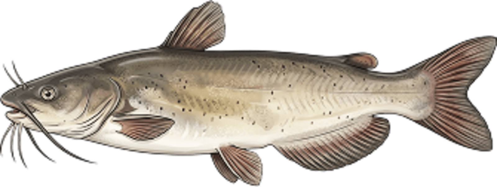
Channel catfish
No survey data
Abundance (CPUE)
Understanding Abundance
Abundance ratings are based on Catch Per Unit Effort (CPUE) measurements conducted by the MN DNR, and represent a snapshot of a species population at a given point in time
Source: Minnesota Department of Natural Resources. Survey cadence may vary by state and water body.Species Lengths