onX Hunt: Created for Hunters, by Hunters
The onX team spends our days working to better the onX Hunt System—the Hunt App and Web Map. We value onX as our essential tool to help us know where we stand, plan and execute a successful hunt, and then get home safely.
When we’re not at our Missoula and Bozeman, Montana, offices (or home offices, these days), onX employees can be found hunting throughout the country this season. From elk in our home state of Montana, to deer on Kodiak Island, whitetails in Mississippi, sharptail in North Dakota, and beyond, we’re logging hours in the field. It’s that time outside that constantly reminds us of the need for accurate, reliable maps, so we can navigate our favorite spaces with confidence and ease.
It’s the combination of high-quality data and a reliable infrastructure that ensures we trust onX for our own hunts and adventures. Here’s a look at what goes on behind the scenes here at onX, including the GIS Team’s passion for data accuracy and the Engineering Team’s drive to deliver performance you can trust.
The onX Data Difference: 11 Years of Development and Data
It’s no secret that the United States is a large country, with a plethora of public and private land. For the past eleven years, our in-house teams have constantly worked to stay ahead of land updates and information, and work to keep the breadth of our coverage—including land ownership information for 140 million private properties—as up to date as possible. onX melds this accurate data with a high-performance, reliable Hunt App and Web Map interface, giving you a multi-purpose tool for your time outside. Accurate, high-quality data is the chief reason millions of hunters around the country trust onX to help them find success in the field.
A dedicated GIS (geographic information system) team works every day to curate land information such as public and private parcel data, wildlife management areas, public lands, recreational areas, hunting units, and more, from various agencies around the country. Once the information is in-house, it undergoes a thorough accuracy and quality control process before being placed into our systems.
GIS Analysts such as Jordan spend their days gathering, sorting, and updating the data that goes into the Hunt App. Jordan has worked at onX’s Missoula office for three and a half years and, as a hunter himself, knows the importance of correct data.

“Having correct data is the difference between receiving a ticket from the game warden and hunting legally,” he notes. “I want our users to trust that our data is the most accurate data available.”
While no two days are the same for Jordan, he spends much of his time gathering hunt data, including GMU (game management unit), walk-in (private land open to public access) and hunt-specific (restrictions, etc.) information, pulling information from nearly 400 unique sources. That information is then updated in the onX Hunt App. Update cadence will depend on how often the data sources are updating, but Jordan notes that sometimes during hunting seasons there are states that update on a weekly cadence, and sometimes he’s updating walk-in areas in states as often as 26 times a year. Our close relationship with state agencies means we’re notified when the state’s information is updated and can make those changes in our own systems.
He’s also attuned to listening to customer’s needs. The GIS team constantly collaborates with our customers to make the data better. Find a parcel that’s mislabeled, or a boundary that’s incorrect? Let us know, and our team will look into the error and, if applicable, correct it in our data.
When you let us know about an error, or call into our Missoula, Montana, onX office, you’ll speak with members of our Customer Success team. This team specializes in working one-on-one with customers, answering any questions about the onX System and ensuring you’re set up to utilize onX to its full potential. They’re in constant communication with our GIS, Engineering, Marketing, and other teams, passing your feedback onto team members who can analyze it and make updates or changes in the App.
Sometimes data sources have incorrect information (such as ownership changes that are not reflected in the data), and thanks to customers reporting errors, we can find that incorrect information and work to fix it. Since we control our own data, we’re often able to update small pieces of information at a quick tempo. Once the team is alerted to an “error”—incorrect information—the process of correcting it begins.
“Every hunting season we receive a few errors that require a lot of backend work to figure out why our data is incorrect,” Jordan shares. “When this happens, we start from the beginning with our data source. If our source data is still incorrect, we dig into potential other sources that could be displaying the data correctly. Once that effort has been exhausted, we reach out to our contacts at the specific fish and game department. This allows us to clarify the issue with the folks who work with the data every day, and allows us to make the changes we need so we don’t receive the same error again in the future.”
He adds, “We are always open to the ideas that our customers have. We love receiving feedback in regards to how we can make our data easier to use, or potential new data we could add to the product to enhance their outdoor experience.”
Nate, another GIS Analyst at onX, knows firsthand the importance of accurate data when in the field, and the importance of that feedback loop with agencies and customers.
“That collaboration with state agencies, including fish and game departments, is key to what makes onX special,” he shares. “We actively seek feedback from wardens across the country.”
That collaboration has led to more than 5,000 game wardens in all regions of the country who use and rely on the onX Hunt App in their daily work.

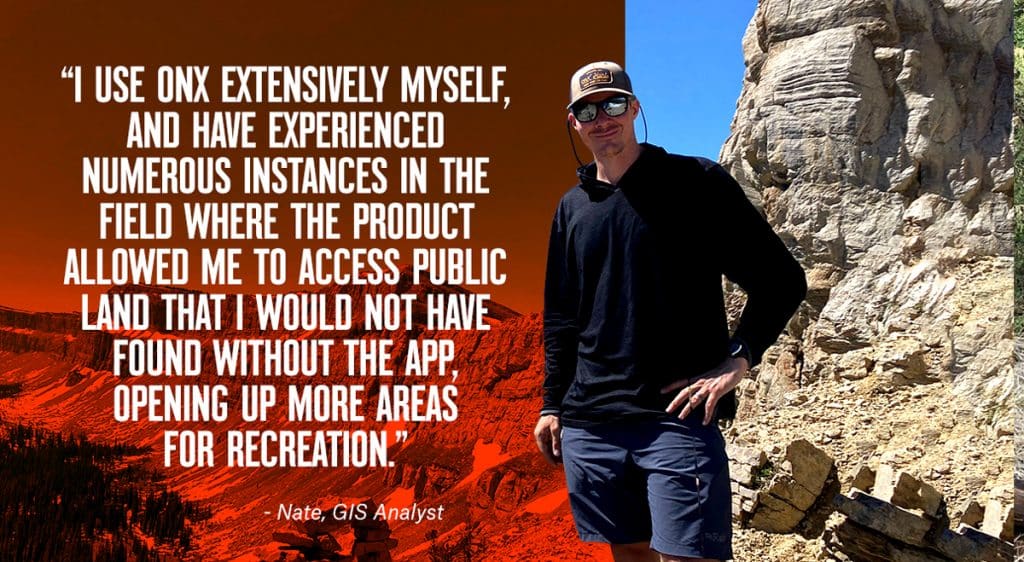
For his part, Nate knows accurate data and App functionality can make or break an experience in the field.
“I use onX extensively myself, and have experienced numerous instances in the field where the product allowed me to access public land that I would not have found without the App, opening up more areas for recreation,” he adds. “My family is always on the hunt for primitive campsites, and over Labor Day weekend, I used the product to search imagery, roads, and trails to find a spot to recreate off the beaten path.”
A Tool You Can Trust: Investment in Performance and Reliability
Beyond the GIS team’s intricate tasks of gathering data and ensuring that information goes through our rigorous quality control and accuracy process, the onX System requires a robust, highly-dedicated Software Engineering Team. In recent years, we’ve increased investment in both staff and technology to ensure the Hunt App runs as smoothly and efficiently as possible, bringing you technology you can rely on in the field.
For Joe, a Software Engineer in our Bozeman office, ensuring onX is reliable and trustworthy is important both in the office and beyond.
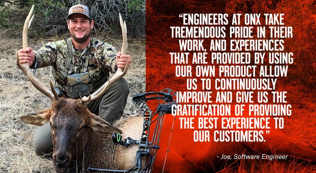
“Developing and releasing a new feature is just the beginning of work for software engineers at onX,” he shares. “Upon release of a feature, we consistently monitor the stability of the new feature, listen to direct customer feedback, and use the feature ourselves. This feedback empowers us to continuously improve upon our features and ensure our customers have the best experience possible.
“For example, my team developed the Photo Waypoint feature about a year ago. This past spring I was out bear hunting, and upon harvesting my bear took a picture of where I shot from. This picture helped give me context of where the bear was when I went in for the recovery. Upon arriving home, I noticed the photo did not appear on my Web Map as it should. The very next morning, my team and I got together and figured out exactly why this photo failed to appear on Web Map. Although the scenario for this bug was not common, we fixed the issue, ensuring no future customer would encounter this.
“Engineers at onX take tremendous pride in their work, and experiences like these that are provided by using our own product, allow us to continuously improve and give us the gratification of providing the best experience to our customers.”
Engineers like Joe spend their days creating new features and user interfaces for onX Hunt, but they also do more work that happens behind the scenes. As onX grows, we’ve made monumental investments in our infrastructure to ensure we can scale while still maintaining the user-friendly, reliable products we ourselves rely upon out in the field. Some of the Engineering team’s largest, most impactful projects change onX systems in ways the average user will never see—but the benefits of these changes will show in a smoother interface, more frequently updated information, and a better overall experience with the onX system.
Joe explains a bit of what goes on behind the scenes.
“As our customer base has grown and we have more traffic, it’s important that the design of our map delivery systems can handle this increased load without degrading the performance,” he adds. “The Engineering team at onX has been proactive in investing resources to improve these systems.
“In 2019, to ensure robust support for our growing customer base, the Engineering Team invested countless hours and sleepless nights in completely rewriting and rearchitecting the way we deliver map data. We transitioned to delivering our map data in a format called “vector tiles.” This vector tile solution required reworking how our map data is displayed, how it is delivered to the Apps, and how the countless data sources that provide information like public and private land boundaries are aggregated in our dataset. This process provided our customers a “snappier” experience when using the App, Offline Maps that use less phone storage, and faster map data updates.”
As part of this process, a project-dedicated Engineering team spent months designing and implementing this new system, wrangling more than 3.1 billion image files (“tiles”) in the continental U.S. alone at the time of development. Now, as we continue to grow and finesse our own, in-house system, we’re managing more than 5 billion tiles, offering users more detailed, high-performance map data, delivered more quickly.

An image tile is a gridded display of map information displayed by seamlessly joining dozens of individual map sections to form a complete view of the map. Think of digital maps like a 3D puzzle; a grid of information that spans both horizontally and vertically, showing elevation, land features, and all the complex information you’re accustomed to seeing in the onX Apps. The average iPhone user might see eight tiles when they open a map on their screen; every time you zoom into a map—requiring more detail—each zoom level is now four times the size, requiring four times the information displayed.
With this new ability to build, support, and serve our own aerial imagery, performance of map tiles is far better than previously available. You’re receiving higher-quality maps, faster, and it’s only going to get better as we continue to evolve our system.
One of the most significant benefits of this new system is our ability to update our aerial imagery as soon as we receive updated information from data sources. We’re also able to gather information from several different sources, helping to ensure the best end-product for hunters in the field.
For customers in North Carolina, for example, we now provide “leaf-off” imagery—imagery showing dense forests in the leaf-off phase of winter—for increased visibility into the terrain and potential hunting locations. For many years, imagery from leaf-off was something hunters in North Carolina had been seeking. Because of the flexibility and adaptability of the new aerial system, we were able to address this concern and introduce fresh imagery for the region, just in time for hunting season.
This ability to update more frequently is crucial for hunters, but also for the first responders and wildland firefighters who rely upon onX in challenging circumstances.
“We have built a very high performance system that allows us to rapidly update and serve billions of map tiles,” Principal Software Engineer Allan adds. “Many of our datasets are updated weekly and some, like active wildfire data, are updated four times per day.” These rapid updates come when new information is supplied by providers. Once the map data arrives at onX, we can now implement and update maps extremely quickly. The updates are largely automated, which means both faster updates and also freed-up human resources who now can look at other data that helps customers and improve other areas in our systems.
Hunt data, on the forefront of all our minds this time of year, consists of a massive 20 million-tile collection, and is refreshed once per week. This means Game Management Units (GMUs), walk-in data, and other hunt special interest areas are all being updated once weekly, to match the most up-to-date information we receive from sources.
So what does all this tech-speak mean for hunters in the field? How does it impact your time outside?
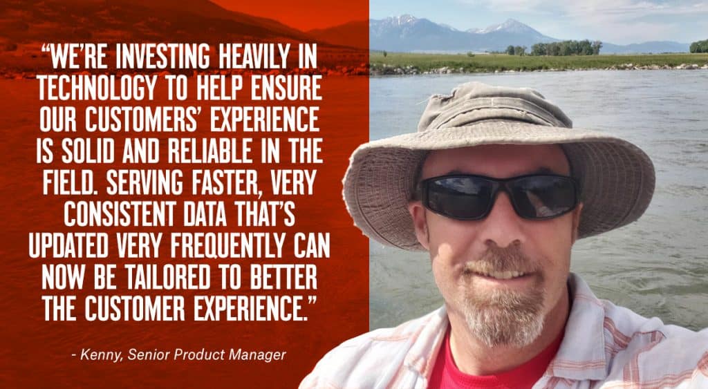
“We’re investing heavily in technology to help ensure our customers’ experience is solid and reliable in the field,” Senior Product Manager Kenny shares. “Serving faster, very consistent data that’s updated very frequently that can now be tailored to better the customer experience.”
On the long, sometimes challenging trail of product updates and behind-the-scenes Engineering work, the team remembers what drives us all.
“There’s a lot of passion for the product within the company,” Kenny notes. “It’s a very authentic company that uses the product, and so we’re always acting on behalf of that customer. The team genuinely cares about building the best possible product. People discover ways to use the App in ways we never could have dreamed.”
And that’s what makes us excited for the future—users finding ways to use onX that we would have never envisioned. Maybe it’s a rural firefighter using the Line Tool to set back burn lines, or a military helicopter pilot using Waypoints to mark locations in a winter snowmobile rescue in remote Wyoming (both are true stories). We’ll keep working to better the onX product, and rely upon you to let us know both what’s working, and how we can help make your experience in the field even better.
Our Partners: Conservation and Public Lands
Most of us work at onX because we appreciate big places and wild animals, and the experiences that both bring us. We’re proud to partner with conservation groups such as the Theodore Roosevelt Conservation Partnership, who we’re working with for the third consecutive year of reports showcasing the issue of landlocked public lands around the United States.
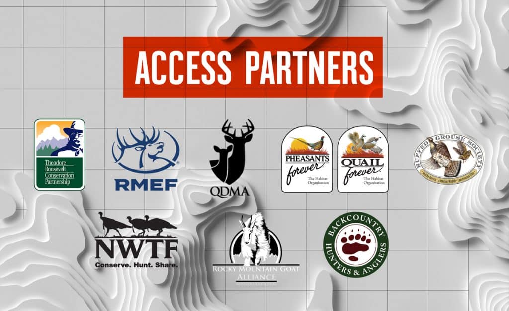
We also work closely with the Rocky Mountain Elk Foundation, the Quality Deer Management Association, Pheasants Forever, Quail Forever, the Ruffed Grouse Society, Backcountry Hunters & Anglers, the National Wild Turkey Federation, and the Rocky Mountain Goat Alliance. On a more local level, we work alongside regional and state land trusts to help ensure the continued existence—and growth—of the public spaces we all enjoy.
We also have a dedicated in-house Access team, which works closely with partner organizations and local land trusts to help access causes. This dedicated team is at the forefront of access initiatives at onX, and works to raise access awareness and deliver the best data possible to both policy-makers and the public. We’re passionate about Access at onX, and look forward to helping enhance and create access around the country.
At the end of the day, we know how important reliable, accurate map information is, because we rely upon it just as you do. We spend our weekends in the backcountry, on the trail, on the river, or in the woods, the onX Apps in hand as we recreate and make the most of our time outside. We know maps are important, because we’re outdoorsmen and women as well, and it’s that passion that’s at the core of the onX brand. Thanks for your feedback, ideas, and stories—when you’re part of the onX community, you’re part of the team. And we couldn’t do what we do without our customers.
We’ll see you out there.