
Ready to explore this trail?
View Trail Map in AppThe Thorofare Trail passes through 3 Bear Management Areas (and near a 4th). From April 1 through Aug 10, for some sections, there is no off-trail travel allowed and certain campsites are closed. This is primarily to protect cutthroat spawning streams frequented by grizzlies. Check with the NPS before beginning your trip and use all bear precautions. This is the longest trail in Yellowstone and takes backpackers deep into the wilderness. It requires skill and planning to safely travel the trail.
Path Type
Point to Point
The Thorofare Trail begins at Nine Mile Post, 9 mi east of Fishing Bridge on the East Entrance Road. It ends south of the Thorofare Ranger Station on the park's southern boundary, the most remote spot in the Lower 48 - more than 25 miles from the nearest road. It's possible to continue south through Bridger-Teton National Forest to US Highway 287 or turn west on Yellowstone's South Boundary Trail to the South Entrance.
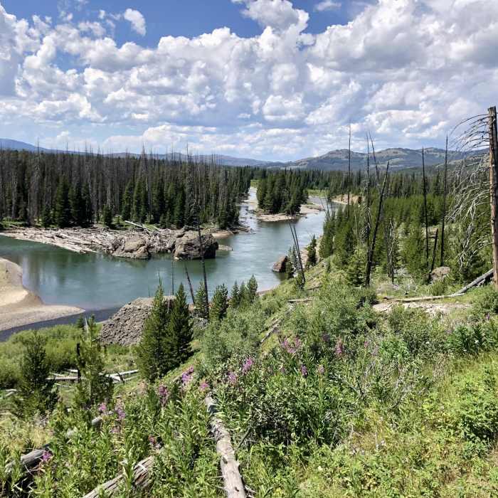
The first 1.3 miles to Cub Creek, the trail passes through forests burned in 2003. The next 1.2 mi, from Cub Creek to Clear Creek, it passes through a forest burned in 2011. It's interesting to see the difference in forest regeneration these 8 years make. Both Cub and Clear Creeks, and numerous other Yellowstone Lake tributaries crossed on this trail, are used by cutthroat trout leaving the lake to spawn upstream. These streams are closed to fishing until July 15, to allow grizzly bears first crack at the big 15-inch trout.
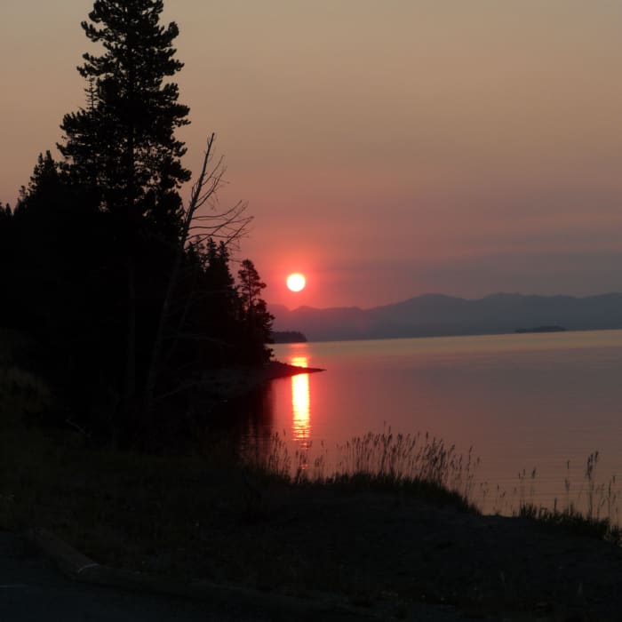
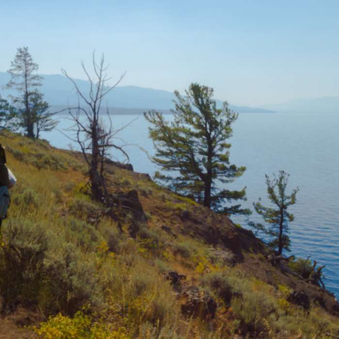
At 3.4 miles are the first decent views of Yellowstone Lake. They are short-lived, as the trail enters unburned forests at the 4-mi mark. At 6.4 mi the trail breaks out south of Park Point, crosses Meadow Creek, and closely follows the lake for almost 2 mi, affording awesome views. As you continue the most noticeable features are the Promontory, just across the Southeast Arm, and Brimstone Basin, the large white outcropping to the southeast.
The trail crosses Columbine Creek at 9.5 miles. The next nice views of the lake are at Terrace Point, at 15.2 mi. Here early geologists found evidence of several former beaches proving the lake was once 160 feet higher. As you approach Beaverdam Creek (at 17.6 mi) views of the Yellowstone River delta become impressive and Colter Peak dominates the skyline to the SE.
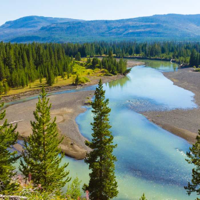
The trail passes Cabin Creek Patrol Cabin and Lower Ford Trail, and reaches the banks of the Yellowstone at 20.6 miles. From here the rare beauty of the Upper Yellowstone begins to unfold. The trail continues through forests burned in 1988 and crosses Trappers Creek at 23.5 mi. Above you to the to the SE is distinctive Turret Mountain. At 26.2 mi cross Mountain Creek (trails to the left lead to Eagle Pass). The next 3 mi, several scenic spur trails lead to campsites on the Yellowstone River.
The trail passes the three the fingers of The Trident, crosses Cliff and Escarpment creeks (between the fingers), and at 33.2 miles reaches the Thorofare Ranger Station. The trail continues another .9 miles and ends at the park boundary.
Thanks to guidebook author, Tom Carter, for sharing this trail description. To learn more about visiting Yellowstone, check out his book, Day Hiking Yellowstone.
No Condition Reports
Storm Point
Storm Point
Avalanche Peak
Avalanche Peak
Elephant Back Mountain
Elephant Back Mountain
Mud Volcano Trail
Mud Volcano Trail
West Thumb Geyser Basin Trail
West Thumb Geyser Basin Trail
West Thumb Overlook Trail
West Thumb Overlook Trail
Contributors

