


Ready to explore this trail?
View Trail Map in AppNo permits are required for individual recreation, but registration is requested at the trailhead. Wilderness regulations apply within the Fitzpatrick Wilderness.
Path Type
There and Back
The route starts and ends at the Elkhart - Pole Creek Trailhead, after reaching the summit of Gannett Peak from the Titcomb Basin.
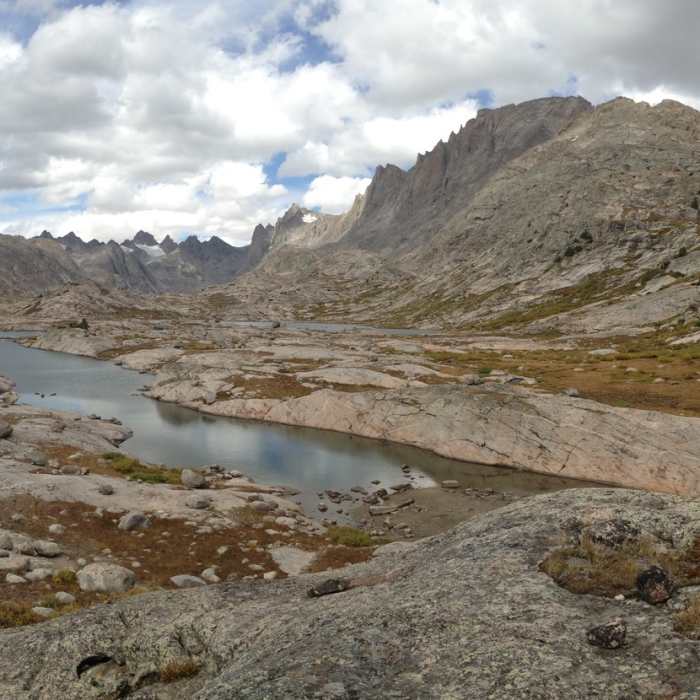
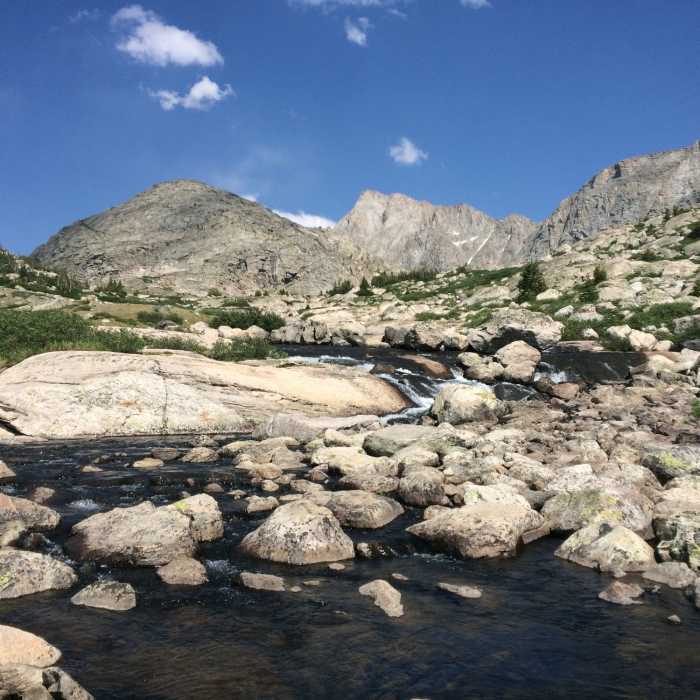
Follow the Pole Creek Trail east, passing the Miller Lake junction on the right at 3.3 miles and Photographer's Point on the left at 4.1 miles. At 5.1 miles, turn left onto the Seneca Lake Trail. Follow this trail past Seneca Lake and Little Seneca Lake to the Highline Trail junction at 10.4 miles. Keep right and descend around Island Lake towards the Indian Pass Trail junction at 12.5 miles. Keep left and continue north on the Titcomb Basin Trail, walking through the alpine basin past the Titcomb Lakes. The maintained trail ends near the head of the basin around 17.0 miles.
From the basin, ascend 2,200 vertical feet up steep talus to the saddle of Bonney Pass at 12,800 feet, around 17.9 miles. Descend the loose, rocky northern slope of the pass to reach the Dinwoody Glacier. Traverse north across the glacier to the base of Gannett Peak. Around 19.2 miles, scramble Class 3 rock to the base of the Gooseneck Glacier. Ascend the steep Gooseneck Glacier — crossing the bergschrund — to the exposed summit ridge. Mixed snow and Class 3-4 rock lead to Gannett Peak's summit at 13,804'.
Crux: The Titcomb Basin approach requires sustained mountaineering terrain from Bonney Pass to the summit. The pass ascent climbs 2,200' on steep snow and Class 3 rock before descending the east face onto the Dinwoody Glacier. From there, the route traverses to the Gooseneck Glacier, where the bergschrund is the primary seasonal obstacle — manageable on a good snow bridge early in the season but a serious impediment as summer progresses. The Gooseneck Glacier is steep, and the exposed summit ridge above offers no runout before a cliff band. Crampons, ice axes, harnesses, a glacier rope, and crevasse rescue equipment are mandatory.
Carefully retrace the outbound route to return to the trailhead.
No Condition Reports
Titcomb Basin via Island Lake
Titcomb Basin via Island Lake
Bonney Pass via Titcomb Basin
Bonney Pass via Titcomb Basin
Photographers Point
Photographers Point
Pinedale-Dubois Traverse
Pinedale-Dubois Traverse
Summit Lake Loop
Summit Lake Loop
Continental Divide Trail: Knapsack Col Alternate
Continental Divide Trail: Knapsack Col Alternate
Contributors

