


Ready to explore this trail?
View Trail Map in AppCLOSED: Trail closed until further notice due to wildfire damage.
Path Type
There and Back
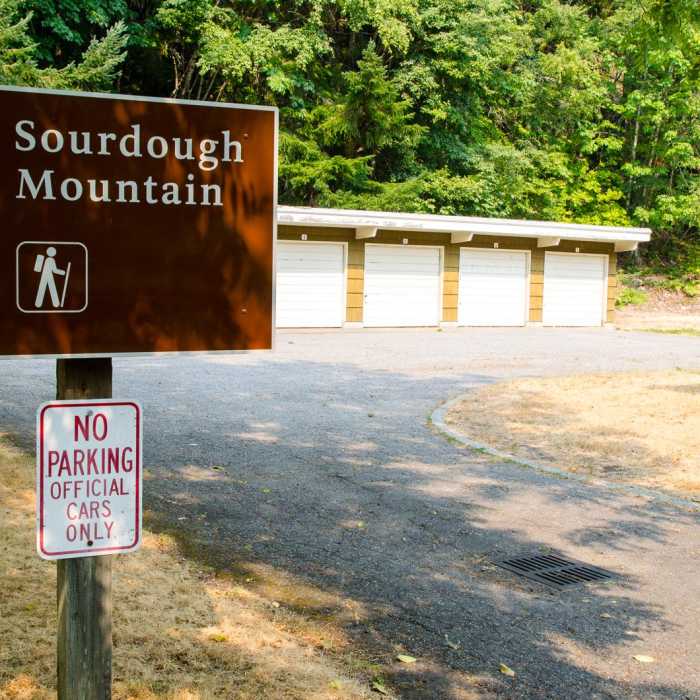
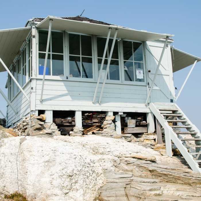
Start at the trailhead located in Diablo, a few hundred feet from Gorge Lake Campground. Cross a bridge after a quarter-mile hike. The creek might be the last reliable source of water in late summer or when it's been dry for an extended period. You might want to fill up because the trail gains elevation fast and steadily.The ascent is long and grueling. The dusty trail switchbacks through a forest of conifers that progressively thins, leading to more colorful wildflowers. At a little over 4 miles, Sourdough Camp is reached, which is the spot for those making this outing into a backpacking trip. Sourdough Creek is a few hundred feet farther, but the water is scarce in late summer. Carrying a straw and filter is a wise move.From there, a mere mile separates hikers from the Sourdough Lookout Tower, most of which is on the rather flat, rocky summit. The lookout tower, which used to be a fire tower, is not located on the true summit, which lies about 1 mile northwest. No maintained trail goes to the true summit, but it's an easy scramble for motivated hikers. There are views all around, most notably of the Picket Range, Davis Peak, Diablo Lake, Jack Mountain and Ruby Mountain.The return trip is via the same trails used for the ascent. Make sure to adjust the trekking poles for the descent to give your knees a break.- Description by Louis O, Outdoor Project contributor
No Condition Reports
Thunder Knob
Thunder Knob
Pacific Northwest National Scenic Trail Section 10
Pacific Northwest National Scenic Trail Section 10
Ladder Creek Falls
Ladder Creek Falls
Thornton Lakes Trail
Thornton Lakes Trail
Thornton Lakes Trail + Trappers Peak
Thornton Lakes Trail + Trappers Peak
Desolation Peak Trail
Desolation Peak Trail
Contributors

