Near Snoqualmie Valley Lake Trail
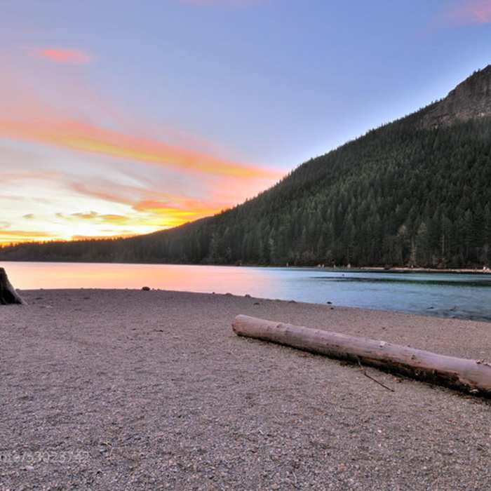
Sunset over Rattlesnake Lake and Rattlesnake Ledge.

Looking for more photos?

View All Photos
View Map
Driving Directions
Hike Trail
Buy NowView in 3D

Snoqualmie Valley Lake Trail

5.0 (1 Rating)
Long gravel trail that follows the route of an old railroad line through a mix of forest and housing, with river views.
9.5
mi
Distance
67
ft
Gain
moderate
Difficulty
BirdingFall ColorsFamily FriendlyFishingLakeRiver/CreekSwimmingViewsWildflowersWildlife

Route Details

Flatter
Steeper
9.53mi
Distance
67ft
Elevation Gain
579ft
Elevation Loss
10%
Max Grade
924ft
High Point
407ft
Low Point
Path Type
Point to Point
Description
Trail starts at Rattlesnake Lake and heads north on an old railroad line. Easy gravel hiking with lots of viewpoints, bridges, and an easy grade for hiking, running, and bike riding. The full length is around 32 miles, but this shows the first 20 or so. ends at a bridge that also has a road for a bit before the trail picks up again. Good views of the river and large parts are covered with tree canopy from the forest so nice on hot summer days.

Route Conditions

Report Conditions
No Condition Reports
Report Conditions

Nearby Hike Routes

Rattlesnake Ledge

Hike Route

Rattlesnake Ledge

Family Friendly
moderate
4.4 mi
+1,188 ft
Twin Falls

Hike Route

Twin Falls

Birding
moderate
2.2 mi
+585 ft
Boulder Gardens Loop

Hike Route

Boulder Gardens Loop

Less Crowded
moderate
2.12 mi
+839 ft
Little Si

Hike Route

Little Si

Views
moderate
3.64 mi
+1,206 ft
Mount Washington

Hike Route

Mount Washington

Less Crowded
strenuous
6.17 mi
+2,371 ft
Mount Si

Classic Hike Route

Mount Si

Birding
strenuous
7.78 mi
+3,520 ft
Contributors
Michael Young
