

Ready to explore this trail?
View Trail Map in AppPath Type
There and Back
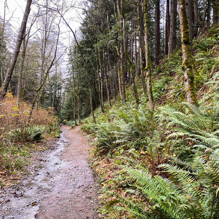
A relatively smooth 4-mile climb with just under 2,000 feet of elevation gain. The last mile is the steepest. Start on Fragrance Lake Road and after about 3/4 of a mile there will be a fork in the road. Take the right-hand side split and follow the sign for Burnout. On a clear and sunny day, you'll be greeted with epic views of the San Juans, Puget Sound, and Olympic National Park. A wide and relatively open "summit" allows for great photos or a picnic. This trail can be used as an out-and-back or you can connect to the Lost Lake trail and make it a bigger loop.
No Condition Reports
South Lost Lake Trail
South Lost Lake Trail
Fragrance Lake
Fragrance Lake
Rock Trail
Rock Trail
Chuckanut Lost Lake Loop
Chuckanut Lost Lake Loop
Teddy Bear Cove Trail
Teddy Bear Cove Trail
Pine and Cedar Lakes Loop
Pine and Cedar Lakes Loop
Contributors

