Ready to explore this trail?
View Trail Map in AppRegional Classic
A must do route for the area handpicked by local experts.
A parking and admission fee applies at Grayson Highlands State Park: $5–7 for Virginia residents, $7–10 for non-residents, higher on spring and fall weekends. No permit is required beyond the park fee. The ponies in the area are wild and should not be fed.
Path Type
There and Back
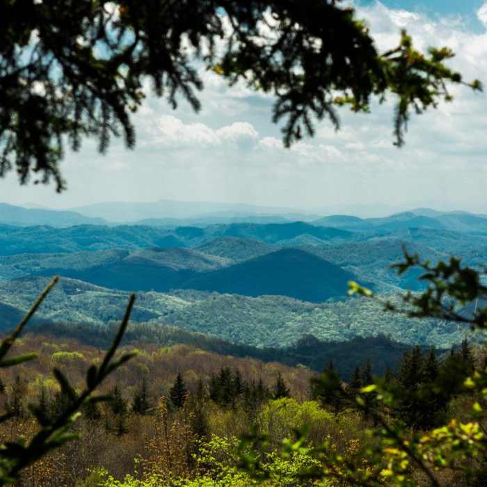
This route starts and ends at the Massie Gap parking area in Grayson Highlands State Park and reaches summit of Mount Rogers (5,729'), the highest point in Virginia, for a round trip of about 8.5 miles.
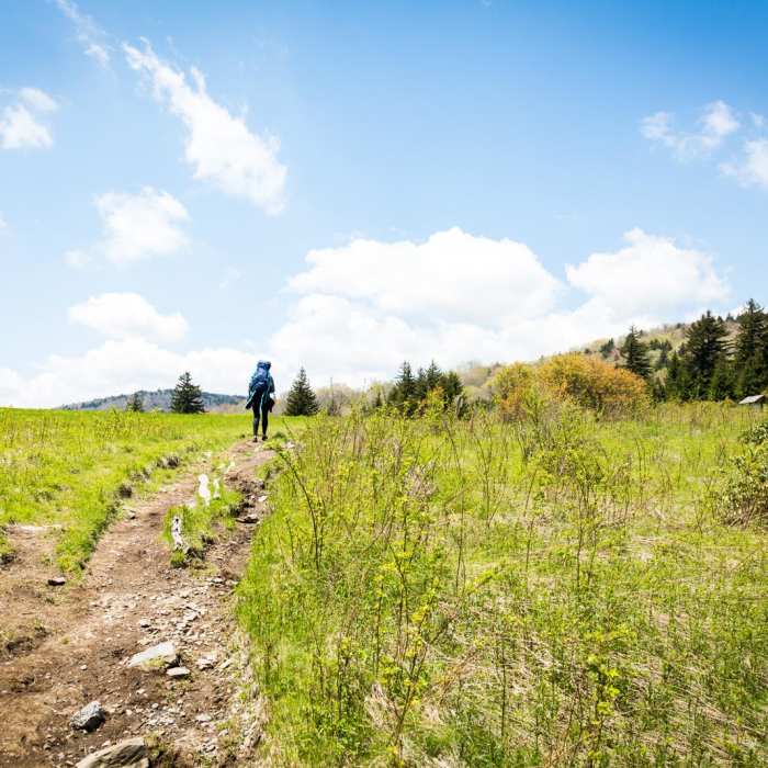
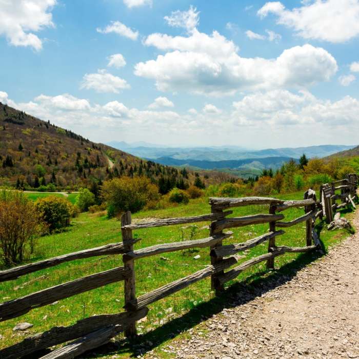
From the parking area, follow the obvious trail north for 0.6 miles to the Appalachian Trail. Turn left (west) onto the AT, climbing onto Wilburn Ridge, where the trail crosses open, rocky terrain with scrambling over several rock outcroppings; wild ponies are commonly seen grazing in this stretch. Continue through Rhododendron Gap and along the ridge, passing Thomas Knob Shelter, then turn left onto the blue-blazed Mount Rogers Spur Trail for the final 0.6 miles to the wooded, viewless summit.
Return by retracing the same route back to Massie Gap.
Trail passes through Grayson Highlands State Park, the Mt Rogers Recreational Area, and the Lewis Fork Wilderness.The summit has been changing over the past decades. With the woody adelgid insect destroying hemlock groves up and down the east coast, Mt Rogers has been hit particularly hard. Local hikers have noticed distinct changes in the forest canopy, with the thinning of the tree needles resulting in a drier forest floor and a changing ecology.
No Condition Reports
Grayson Highlands: A.T. - Pine Mtn Loop
Grayson Highlands: A.T. - Pine Mtn Loop
Grayson Highlands Backpacking Loop
Grayson Highlands Backpacking Loop
Mt. Rogers via Scales Trailhead
Mt. Rogers via Scales Trailhead
Wilburn Ridge Loop via Pine Mountain + the Appalachian Trail
Wilburn Ridge Loop via Pine Mountain + the Appalachian Trail
Virginia Creeper National Recreation Trail
Virginia Creeper National Recreation Trail
Alligator Rocks to Bluff Mountain
Alligator Rocks to Bluff Mountain
Contributors

