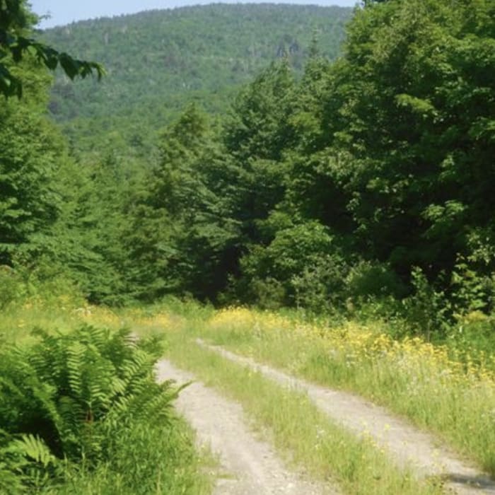
Near Signal Mountain

Looking for more photos?

View All Photos
View Map
Driving Directions
Classic Hike Route
Buy NowView in 3D

Signal Mountain

No rating
A steady climb and easy bushwhack through Groton State Forest to the summit of Signal Mountain, featuring an option to visit neighboring Butterfield Mountain.
6.9
mi
Distance
1,847
ft
Gain
strenuous
Difficulty
Regional Classic
A must do route for the area handpicked by local experts.
Fall Colors
Access Issues
No permits or fees are required to park or hike.

Route Details

Flatter
Steeper
6.92mi
Distance
1,847ft
Elevation Gain
1,847ft
Elevation Loss
--%
Max Grade
3,357ft
High Point
1,700ft
Low Point
Path Type
There and Back
Description
This route begins and ends on Gore Road off of U.S. Route 302, after reaching the summit of Signal Mountain. From Gore Road, begin following the trail west. Cross over Waits River at 0.5 miles and head begin heading south. At 0.7 miles, pass by the 302 snowmobile trail on the left, and keep right to continue along the trail as it turns back to the northwest. To reach the summit of Signal Mountain, bear left at around 2.5 miles. The climb steepens and easy bushwhacking is required to climb to the summit of the trail-less mountain. The summit is marked with a red Nalgene water bottle. Retrace your steps back to the parking area on Gore Road.

Route Conditions

Report Conditions
No Condition Reports
Report Conditions

Nearby Hike Routes

Spruce Mountain Trailhead to Noyes Pond

Hike Route

Spruce Mountain Trailhead to Noyes Pond

strenuous
10.32 mi
+1,984 ft
Peacham Bog Loop Trail

Hike Route

Peacham Bog Loop Trail

Less Crowded
moderate
5.45 mi
+612 ft
Big and Little Deer Mountains

Hike Route

Big and Little Deer Mountains

moderate
5.16 mi
+1,236 ft
Kettle Pond

Hike Route

Kettle Pond

easy
3.15 mi
+41 ft
Grand Lookout Out-and-Back

Hike Route

Grand Lookout Out-and-Back

Fall Colors
easy
1.91 mi
+135 ft
Owl's Head

Hike Route

Owl's Head

easy
3.43 mi
+475 ft
Contributors
onX Maps, Inc
