Ready to explore this trail?
View Trail Map in AppRegional Classic
A must do route for the area handpicked by local experts.
No permit or fee is required to hike, though resort lift and tram access are separately ticketed. The parking area is shared with ski-area traffic in winter.
Path Type
There and Back
This route starts and ends at a signed trailhead parking area on VT Route 242 at Jay Pass, between Jay and Montgomery Center.
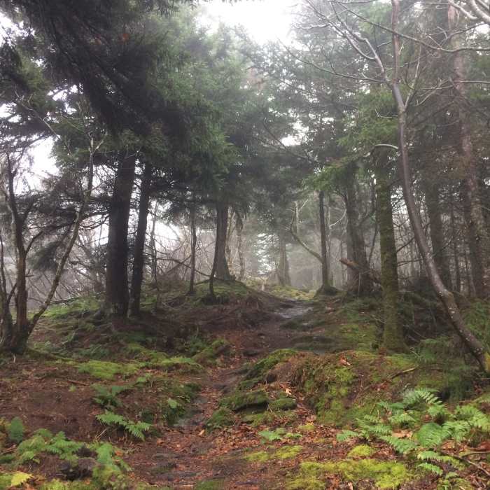
From the parking area, follow the Long Trail north, climbing steadily through hardwood and softwood forest. The trail crosses several of the Jay Peak Resort's open ski trails partway up the mountain. Beyond the ski-trail crossings, the climb steepens over rocky, root-laced tread through increasingly stunted, wind-flagged trees.
Near the top, hikers encounter a short section of rocky scrambles with some exposed Class 2–3 terrain. Caution is advised, especially during wet conditions when rocks can become slick. Above treeline, the route passes through a compact alpine zone before topping out at the Jay Peak summit at 1.5 miles, with panoramic views of the northern Green Mountains, Lake Memphremagog, and the rolling hills of southern Québec.
Retrace the same route back to the VT-242 trailhead for a round trip of about 3.2 miles, gaining roughly 1,633 vertical feet.
No Condition Reports
The Long Trail's Northern Terminus
The Long Trail's Northern Terminus
The Long Trail (Division 12)
The Long Trail (Division 12)
Contributors

