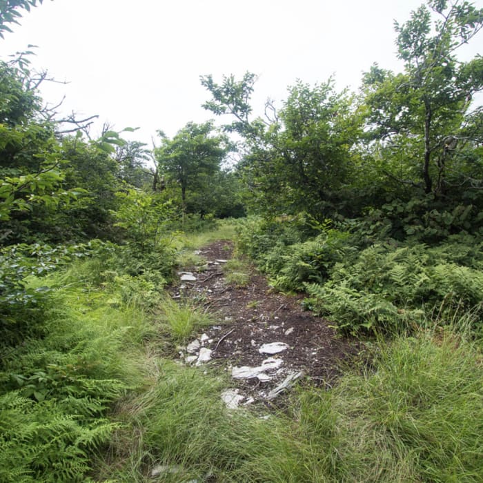
Near Grass Mountain

Looking for more photos?

View All Photos
View Map
Driving Directions
Classic Hike Route
Buy NowView in 3D

Grass Mountain

No rating
A demanding 7.6-mile route in Vermont's Taconic Range that combines old woods roads with a steep, unmaintained path to reach the wooded summit of one of New England's Fifty Finest peaks.
7.6
mi
Distance
2,078
ft
Gain
strenuous
Difficulty
Regional Classic
A must do route for the area handpicked by local experts.
Dogs AllowedFall ColorsRiver/Creek
Access Issues
No permits are required for this hike. A portion of this route crosses private property; hikers must stay on the established path to preserve public access. Parking at the end of Shaftsbury Hollow Road is extremely limited, with space for only a few vehicles. Do not block the gate, turnarounds, or private driveways.

Route Details

Flatter
Steeper
7.56mi
Distance
2,078ft
Elevation Gain
2,078ft
Elevation Loss
--%
Max Grade
3,105ft
High Point
1,139ft
Low Point
Path Type
There and Back
Description
This route begins and ends at the end of Shaftsbury Hollow Road, after reaching the wooded summit of Grass Mountain. Follow the old logging road heading northeast along the brook. Around 2.6 miles, keep following the trail to the northwest. Around 3.2 miles, the trail switches back to climb southwest along the ridge towards the summit. Expect navigation cruxes, as the path is not officially maintained and requires route-finding through blowdowns and dense forest. The wooded summit is marked by a summit register canister. Retrace your steps back down the ridge and along the logging road to return to the trailhead.

Route Conditions

Report Conditions
No Condition Reports
Report Conditions

Nearby Hike Routes

Frost Trail to Lake Paran

Hike Route

Frost Trail to Lake Paran

easy
4 mi
+385 ft
Mile Around Woods

Hike Route

Mile Around Woods

easy
2.8 mi
+195 ft
Bald Mountain (Bennington)

Hike Route

Bald Mountain (Bennington)

moderate
5.87 mi
+1,719 ft
West Ridge to Glastenbury Lookout

Hike Route

West Ridge to Glastenbury Lookout

extreme
18.39 mi
+4,362 ft
Waters Hill Cemetery

Hike Route

Waters Hill Cemetery

easy
1.82 mi
+402 ft
Mt Anthony from Everett Mansion

Hike Route

Mt Anthony from Everett Mansion

moderate
2.47 mi
+1,263 ft
Contributors
onX Maps, Inc
