Ready to explore this trail?
View Trail Map in AppRegional Classic
A must do route for the area handpicked by local experts.
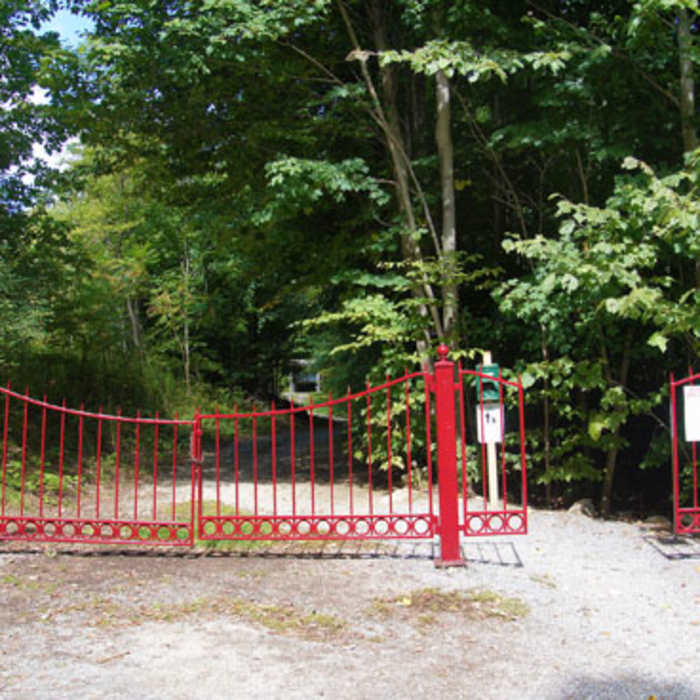
Hikers can access the trail from the Red Gate trailhead on West Union Street. No fee or permit is required for hiking, but parking is limited to a small gravel lot. The Saint Bruno Scenic Viewing Center at the summit is open seasonally from Memorial Day weekend through late October.
Path Type
There and Back
The route begins and ends at the Red Gate trailhead after reaching the summit of Equinox Mountain.
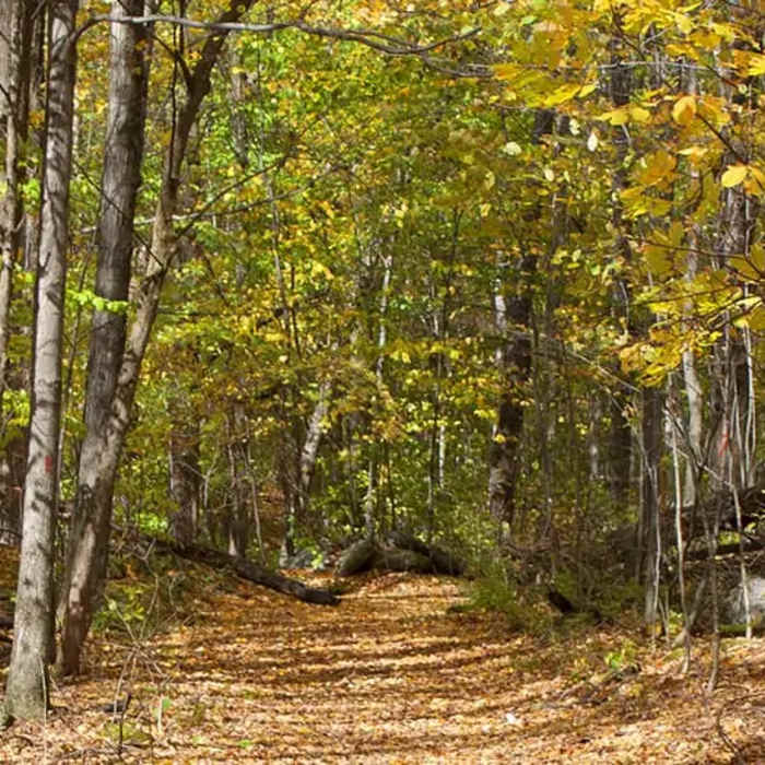
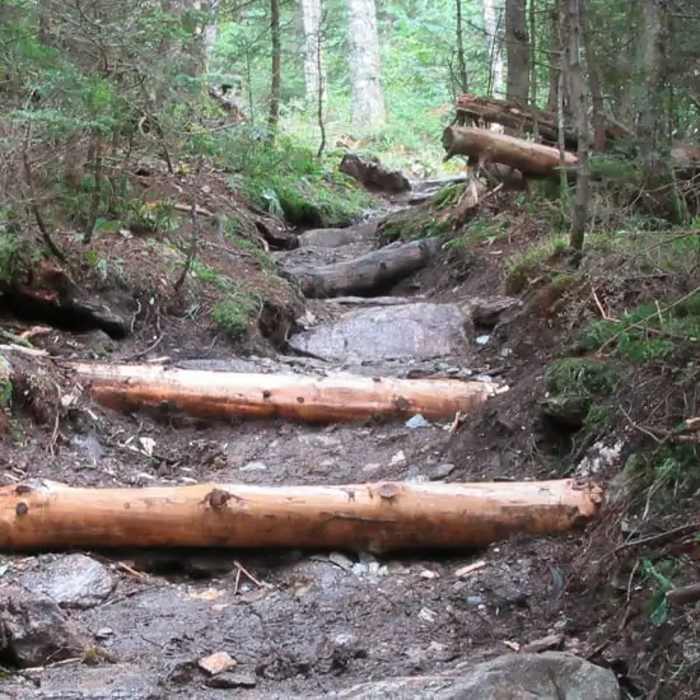
From the trailhead, follow the Red Gate trail north. At 0.1 miles, turn left. Follow the blue-blazed Blue Summit Trail as it immediately begins a steep, steady climb to the west. Bypass the side trails and continue straight up the main trail. The trail climbs relentlessly through a northern hardwood forest. At 2.0 miles, the canopy transitions to spruce-fir forest as the grade steepens further.
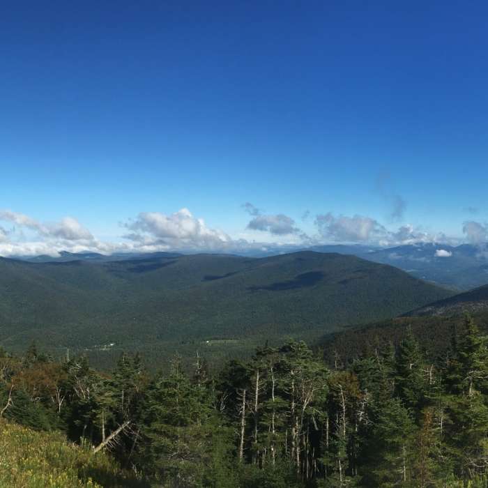
Near the crest of the ridge at 2.5 miles, turn left to reach the summit of Equinox Mountain at 3,848', where the Saint Bruno Scenic Viewing Center provides panoramic views of the Green Mountains, Valley of Vermont, and the Adirondacks.
Retrace your steps back down the Blue Summit Trail to return to the trailhead.
No Condition Reports
Equinox Mountain and Lookout Rock
Equinox Mountain and Lookout Rock
Contributors

