Ready to explore this trail?
View Trail Map in AppPath Type
Point to Point
Before the Winooski Footbridge was built (2015), this trail was the original route of the Long Trail. Since it's roughly 12 miles from Bamforth Ridge Shelter to Buchanan Shelter, Duck Brook Shelter might act as an alternate for the night.
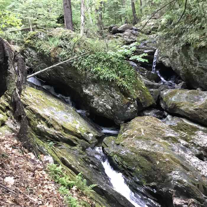
This trail starts off the right side of Stage Road and climbs up beneath the powerlines. Though it's often referred to as the Old Long Trail, it's signed as Duck Brook Trail. It turns left to climb over slick rock faces. It skirts around the mountain slopes, before it comes out to the Duck Brook Shelter Spur. Despite this shelter no longer being a part of the LT, it shouldn't be overlooked as a destination. Though, there is no actual trail to the water below, there is an awesome waterfall.
The trail continues up to a small pond that is alive with the sounds of birds. It traverses along the ridge, then takes a right turn to descend to Notch Road. Cross the road and continue to the new LT.
No Condition Reports
Contributors

