
Ready to explore this trail?
View Trail Map in AppRegional Classic
A must do route for the area handpicked by local experts.
No permit required. The access road (Dorset Hollow Road/Upper or Lower Hollow Road/Tower Road) is unpaved and can be rough; parking is informal beyond the last house, with room for high-clearance vehicles to continue further in some conditions. The true summit and South Peak spur are unmarked and easy to miss; existing tread does not always match published trail maps.
Path Type
There and Back
This route starts and ends at the end of Tower Road, an unpaved spur reached via Dorset Hollow Road and Upper or Lower Hollow Road east of Dorset village.
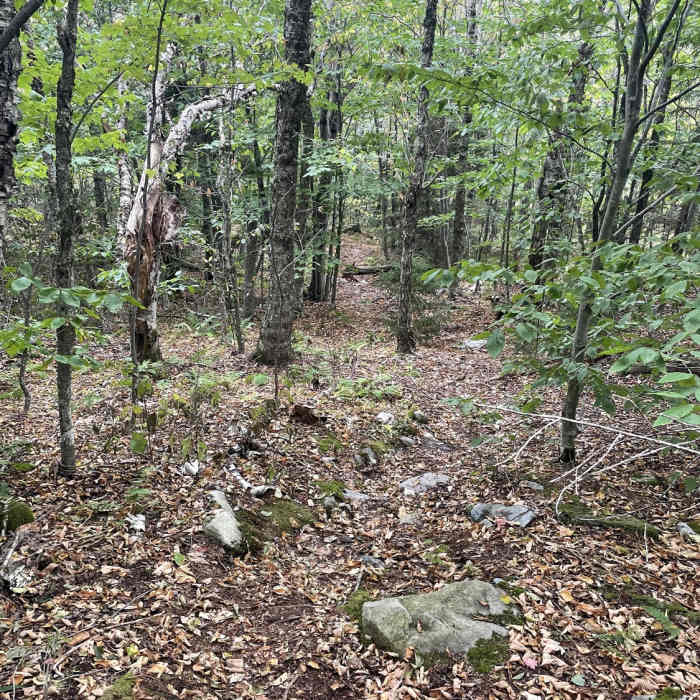
From the trailhead, the route follows an old, unmaintained jeep road that climbs at a moderate grade through dense hardwood forest, following a stream up toward a col. About halfway up around 1.5 miles, the road passes the moss-covered remains of an abandoned marble quarry, and the grade steepens noticeably beyond it, with loose gravel sections requiring careful footing.
Further up, the trail passes the collapsed remains of an old house, likely tied to the mountain's earlier fire-lookout operations, before reaching a four-way junction with logging and snowmobile trails near a set of rock outcrops known locally as the Tree Knobs. From this junction at 2.7 miles, a short spur (roughly 0.1 mile) leads to South Peak, the site of an old fire tower with a decent view north; this was long mistaken for Dorset Mountain's true summit, and old signs at the spot still call it "Dorset Peak."
The true, higher summit lies about 0.5 mile northeast through the woods, reached by continuing along the ridge. Round trip, the route covers about 6.4 miles with roughly 2,390 feet of elevation gain.
Retrace the same route back down to Tower Road.
No Condition Reports
Contributors

