Ready to explore this trail?
View Trail Map in AppRegional Classic
A must do route for the area handpicked by local experts.
Entry requires a Coyote Buttes North permit via recreation.gov's advance or two-day daily lottery; only 64 people are allowed per day, and there is no walk-up entry.
Path Type
There and Back
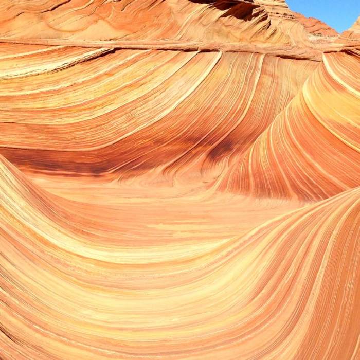
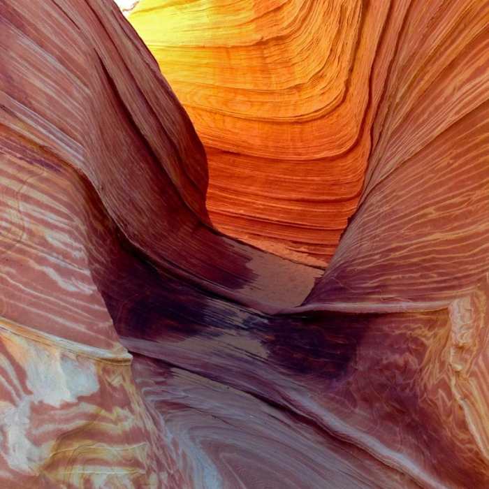
The route begins and ends at Wire Pass, at 4,807' on the Utah side of the Utah–Arizona line, reaching The Wave, a sandstone formation at about 5,225', at its far point.
There is no maintained trail; the route crosses open desert wash and slickrock using BLM-issued photo waypoints, a topographic map, and GPS. Pick up the orientation and route description covering the day's waypoints at permit pickup before starting — it's the only route-finding aid provided.
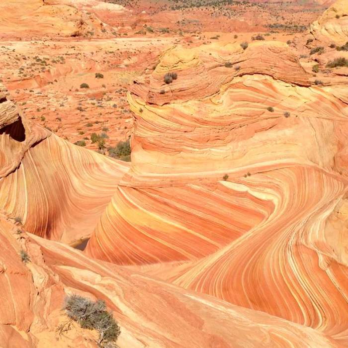
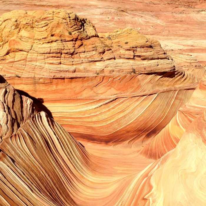
From the trailhead, head northeast across the wash below Wire Pass and The Cockscomb, climbing gradually toward a break in the sandstone known as The Black Crack, reached at about 2 miles. Continue past The Black Crack; The Wave lies in a shallow bowl just below and south of it, roughly 3 miles from the trailhead, having gained about 400 vertical feet.
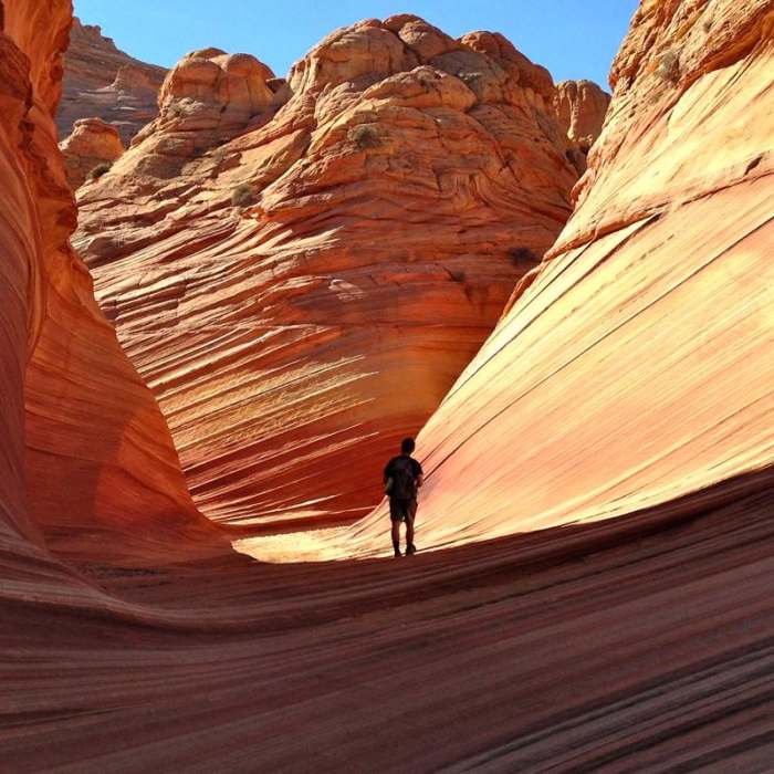
Many permit holders continue past The Wave into the surrounding cove to see Second Wave immediately north, Top Rock Arch and Melody Arch on the ridge above, and the Boneyard to the south — all cross-country with no marked path between them.
Retrace the same route back to the trailhead. Landmarks look markedly different heading south; recheck the waypoint photos rather than relying on memory of the outbound leg.
No Condition Reports
Buckskin Gulch: Wire Pass to White House
Buckskin Gulch: Wire Pass to White House
Paria Canyon: Wire Pass to Lees Ferry
Paria Canyon: Wire Pass to Lees Ferry
Maze Rock Art Site Trail
Maze Rock Art Site Trail
Buckskin Gulch
Buckskin Gulch
Arizona Trail Passage 43: Buckskin Mountain
Arizona Trail Passage 43: Buckskin Mountain
Toadstools Trail
Toadstools Trail
Contributors

