

Ready to explore this trail?
View Trail Map in AppPath Type
There and Back
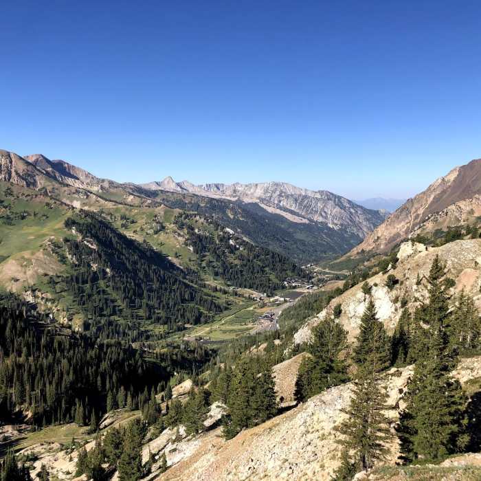
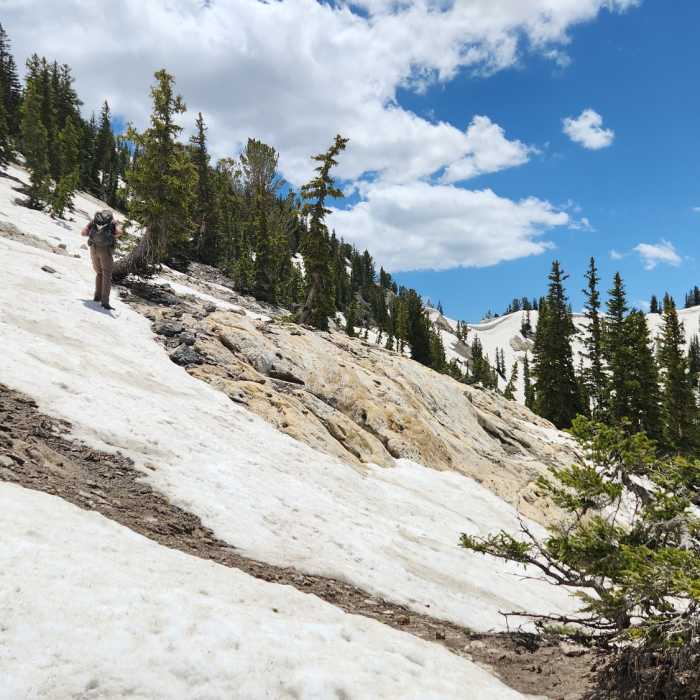
The trail follows the Michigan City dirt road and turns up the mountain about 1.3 miles in. Most of the trail is smooth, but there are a few occasional steep sections with uneven terrain. There are also several opportunities to branch off the main trail to get different views of the canyon or explore interesting rock formations.
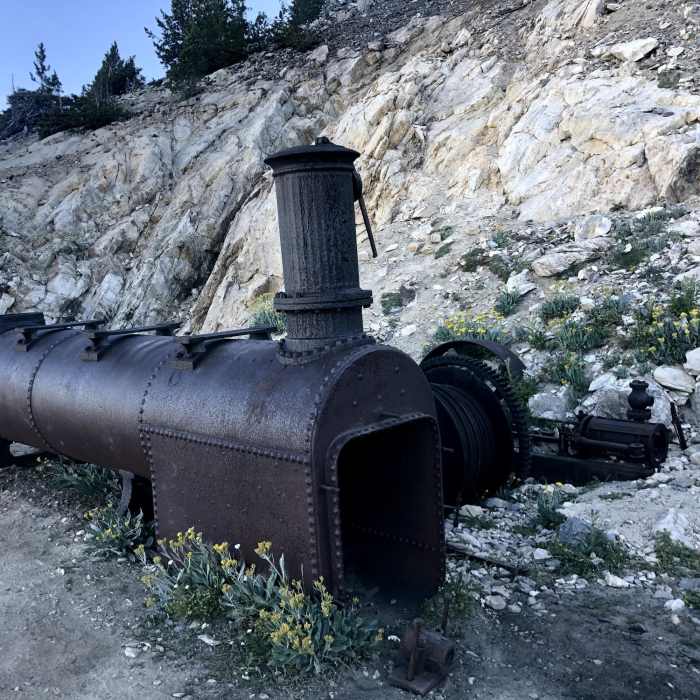
Prince of Wales Mine: https://westernmininghistory.com/mine_detail/10130532/
Closed
All Clear
All Clear
Looking for more condition reports?
Alta-Brighton Loop
Alta-Brighton Loop
Albion Meadows Trail to Germania Pass
Albion Meadows Trail to Germania Pass
Mt. Superior Hike
Mt. Superior Hike
Catherines Pass Hike
Catherines Pass Hike
Cecret Lake Interpretive Trail
Cecret Lake Interpretive Trail
Sugarloaf Mountain Hike
Sugarloaf Mountain Hike
Contributors

