Ready to explore this trail?
View Trail Map in AppPath Type
Point to Point
The Mineral Fork Trail is a brutal out-and-back climb in Big Cottonwood Canyon. The doubletrack trail climbs 3,500 feet over 5.2 miles to the abandoned Wasatch and Regulator-Johnson Mines.
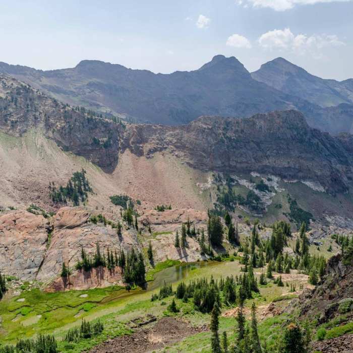
The trail begins off of Big Cottonwood Canyon, and parking is limited. The first mile of the trail climbs steadily to a switchback. The second mile is more moderate grade, but is full of loose scree, and feels like climbing up a dry riverbed (or wet in the spring). The third mile is of more steep grade, greater than 20% in some places, and winds through the pines, aspen and alpine meadows, and the remains of the Wasatch mine can be seen.
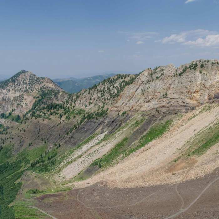
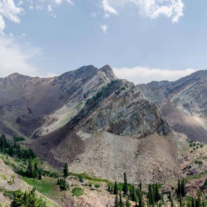
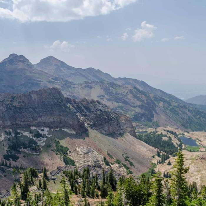
The last two miles rise above the 9,000 feet, above the tree-line in the valley, climbing in a series of very steep switchbacks to just over 10,000 feet. The abandoned Regulator-Johnson mine is at the top. Magnificent views down the valley into Big Cottonwood Canyon can be seen from the top. The descent is equally steep and rocky.
No Condition Reports
Moss Ledge Waterfalls
Moss Ledge Waterfalls
Lake Blanche Trail
Lake Blanche Trail
Mill B North Fork Trail
Mill B North Fork Trail
Broads Fork Twin Peaks
Broads Fork Twin Peaks
Broads Fork Trail
Broads Fork Trail
Hidden Falls
Hidden Falls
Contributors

