

Ready to explore this trail?
View Trail Map in AppThe gates are closed from November to Memorial Day.
Path Type
Point to Point
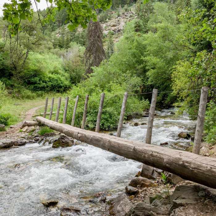
To reach this trail follow South Fork High Creek Canyon Trail for about a mile. The trail immediately crosses the first bridge and about a quarter mile from the trailhead the trail you'll come to the second bridge. After a mile you'll see a sign for the Middle Fork Waterfall and the third bridge to the right. Turn left and up the hill for about 1.5 miles.
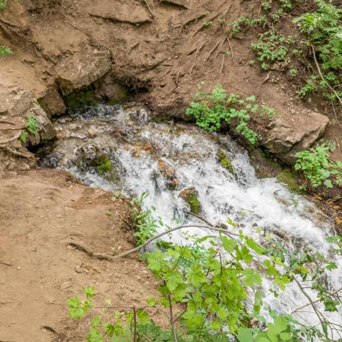
After the sign the trail continues to follow the river and sometimes combines with a small tributary which makes the trail muddy. The trail is also rocky in places and becomes steeper just before you reach the waterfall.
No Condition Reports
Naomi Peak - National Recreation Trail
Naomi Peak - National Recreation Trail
High Creek Lake and Canyon
High Creek Lake and Canyon
Cherry Creek Canyon
Cherry Creek Canyon
Tony Grove Lake Nature Trail
Tony Grove Lake Nature Trail
White Pine Lake Trail
White Pine Lake Trail
Mount Naomi
Mount Naomi
Contributors

