



Ready to explore this trail?
View Trail Map in AppA 1-mile unpaved road leads to the trailhead.
Path Type
Loop
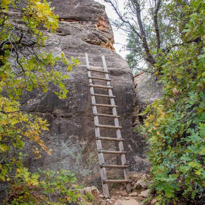
You'll want to take this loop trail clockwise to eventually climb up the two sets of ladders here, unless you're better at descending them. At first, it's a sandy singletrack trail through Sagebrush, Greasewood, Rabbit Bush, Skunk Bush and other desert vegetation. In 700 feet, you'll see the old cowboy camp beneath the sandstone ledge on your right. Shortly after, you'll see a wooden oat bin, then a small cave containing the Cave Spring. Notice the moss and vegetation where the water drips out. The trail leaves the overhang for another open brush area where sweet smelling Alyssum abound. The trail heads back under the ledges. After 1/4 mile, you'll reach the first ladder with 11 rungs. There's a large step where you get off the ladder, so be careful.
Immediately after is a ladder with seven rungs that leads you to a slickrock path. Follow the cairns as the trail bears to the right. You'll soon see the famous Needles formation far off to the south. Continue on to see flowers and prickly pear cactus shaded by the pine trees. Continue on the slickrock and be sure to follow the cairns. At the halfway point, you can look back at the trailhead from atop the sandstone bluff. Although the loose soil may look like an easier path, stay on the path to preserve the cryptobiotic soil.
Begin a gradual descent as the trail switches back. Be sure of foot as part of the slickrock track is at an 18deg slope. You'll soon ascend off the slickrock into a sandy singletrack trail that is bordered by Alyssum and scrub brush. The trail follows under a sandstone ledge. You'll return where you started, but come back changed.
No Condition Reports
Roadside Ruin
Roadside Ruin
Big Spring Canyon/Squaw Canyon Loop
Big Spring Canyon/Squaw Canyon Loop
Needles Grand Loop
Needles Grand Loop
Big Spring Canyon
Big Spring Canyon
Pothole Point Trail
Pothole Point Trail
Confluence Overlook Trail
Confluence Overlook Trail
Contributors

