
Ready to explore this trail?
View Trail Map in AppPath Type
Point to Point
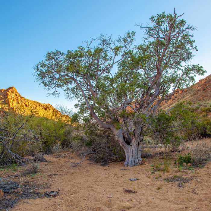
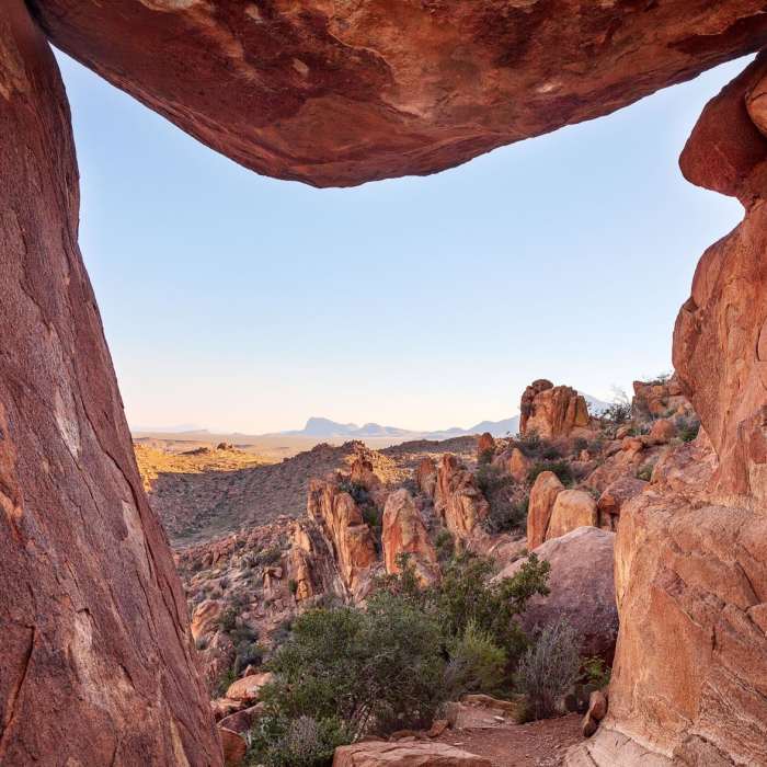
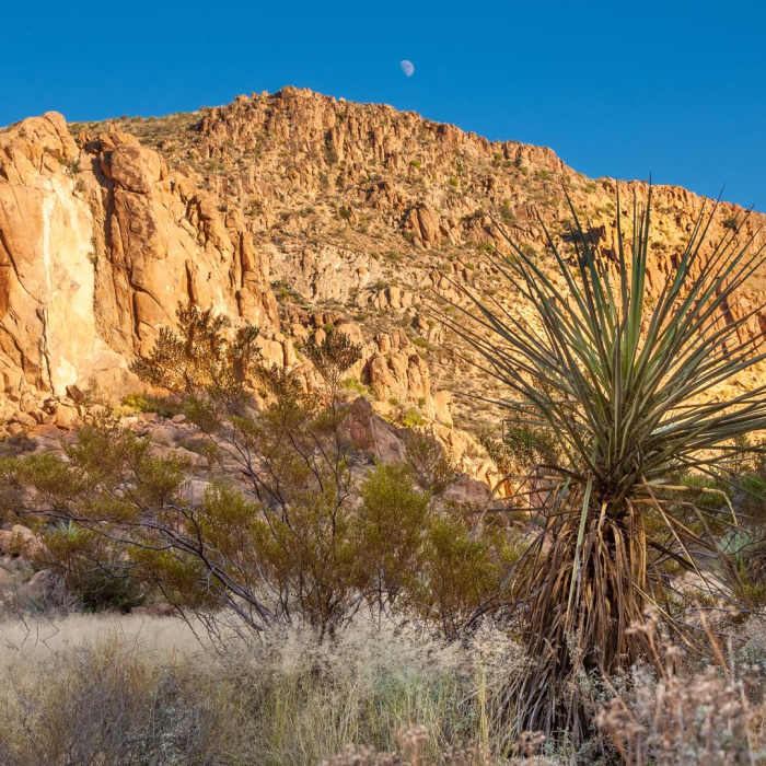
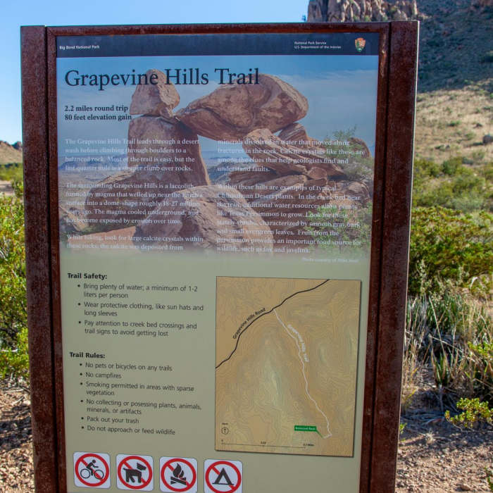
Starting at the Grapevine Hills Trail Parking Area, follow the trail southeast as it curves alongside a small, sandy wash. Follow the wash, climbing ever so slightly until the trail leaves the wash behind and enters the geologic wonder all visitors come to see: the Grapevine Hills.Formed as the result of rising magma within the earth becoming entrapped by overlying sedimentary rock layers, the Grapevine Hills display fantastically rounded granite-like boulders of all shapes and sizes. In certain circumstances, such as one near the end of the trail, these boulders have oriented themselves such that they are balanced precariously on top of other rocks. Needless to say, they are truly a sight to see! Near the end of the trail, expect the terrain to become more rocky underfoot, as well as appreciably more strenuous as you climb into the rock outcropping. Be sure to watch out for snakes in this area, as they love to hide in the shady areas between the rocks.
All Clear
All Clear
All Clear
All Clear
Looking for more condition reports?
Lost Mine Trail
Lost Mine Trail
Window Trail
Window Trail
Emory Peak
Emory Peak
South Rim Trail
South Rim Trail
Chisos Basin Loop
Chisos Basin Loop
Emory Peak via Pinnacles Trail
Emory Peak via Pinnacles Trail
Contributors

