Ready to explore this trail?
View Trail Map in AppRegional Classic
A must do route for the area handpicked by local experts.
No permit or fee is required, and the site is open to the public every day, year-round. Parking is limited to a small roadside shoulder pull-off for a handful of vehicles; use caution crossing Route 101.
Path Type
There and Back
This route starts and ends at a roadside pull-off on Route 101 in Foster, covering 0.3 miles round trip with about 10 vertical feet of gain.
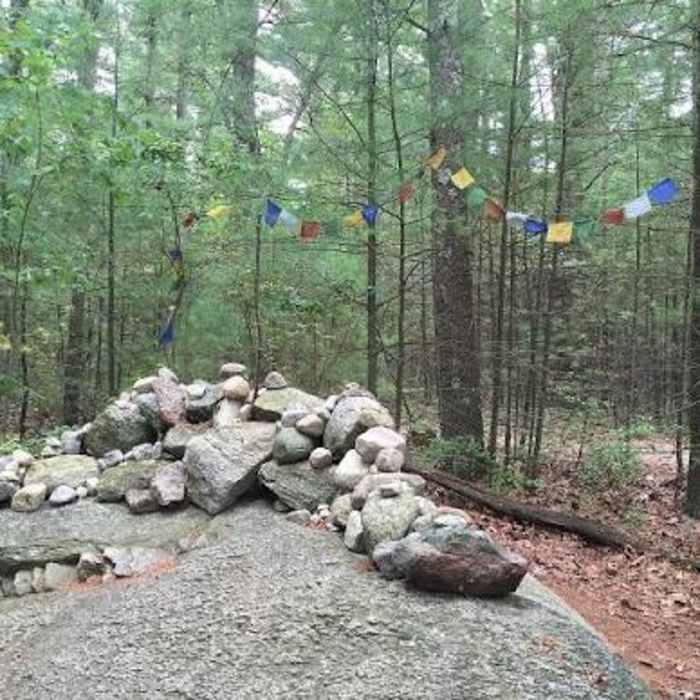
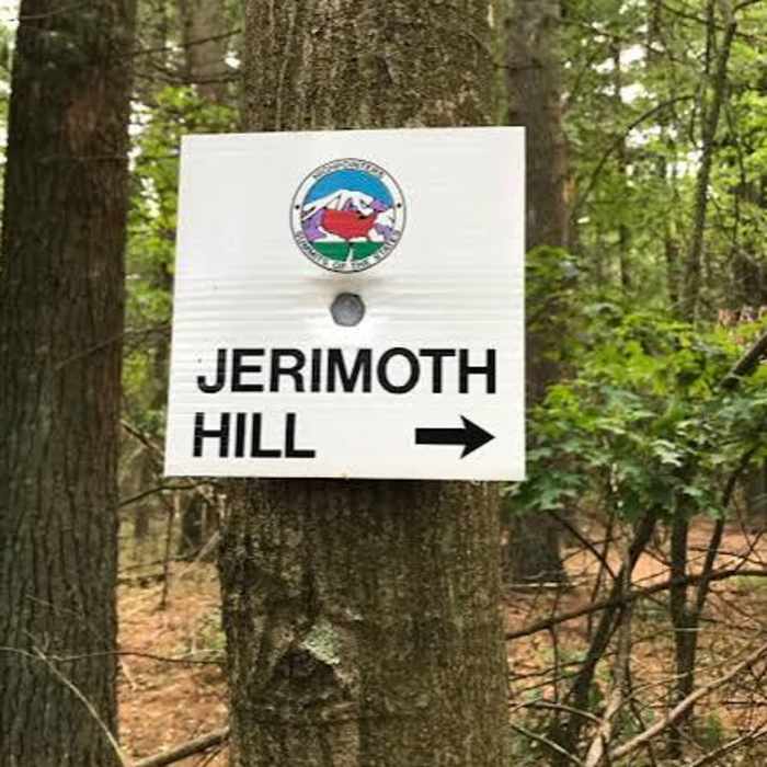
From the pull-off near utility pole 212, a narrow, signed entrance trail leads south into a forest of oak, white pine, and maple. At 0.1 miles, the trail opens into a small clearing; take the right-hand path here toward the high point. Small signs nailed to trees roughly every 20 feet mark the boundary with neighboring private land — stay on the marked path. The trail ends at a rock clearing marking the summit of Jerimoth Hill (811'), the highest point in Rhode Island, with a federal geodetic survey marker and a logbook to sign.
Return by retracing the same short trail to the pull-off.
No Condition Reports
West Thompson Lake
West Thompson Lake
Contributors

