
Ready to explore this trail?
View Trail Map in AppRegional Classic
A must do route for the area handpicked by local experts.
No permit or fee is required. The trail is open year-round, though the stream crossing on Tub Mill Run Trail can be difficult after heavy rain.
Path Type
Loop
This route starts and ends at the Mount Davis Picnic Area on SR 2004, covering 5.4 miles with about 885 feet of elevation gain as a loop.
From the picnic area, pick up High Point Trail, following it northwest through hardwood forest. At about 1 mile, turn left onto Tub Mill Run Trail, descending gently alongside a small stream and crossing it at least once; footing is uneven and can be muddy after rain. Turn right onto Timberslide Trail, climbing steadily along an old woods road grade, then turn right onto the gravel Shelter Rock Road.
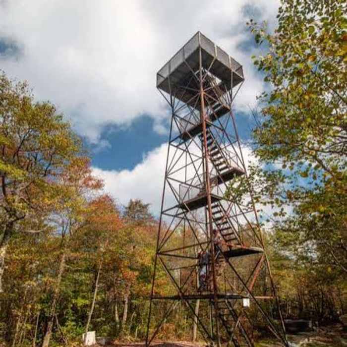
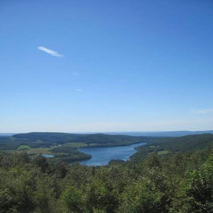
Follow the road briefly before turning left onto Shelter Rock Trail, which climbs through a boulder field; scrambling over and around the larger rocks here is optional but adds some hands-on terrain for those who want it. Shelter Rock Trail continues to the summit area, where a short spur reaches the Mount Davis observation tower (3,213'), a relief map at its base, and views extending into four states on a clear day.
From the tower, rejoin High Point Trail and follow it back to the Mount Davis Picnic Area, passing Big Spring and an old mine access road along the way.
No Condition Reports
New Germany Outer Trail Loop
New Germany Outer Trail Loop
Sugarloaf Sled Hill to Falls Overlook
Sugarloaf Sled Hill to Falls Overlook
Laurel Highlands Trail: Ohiopyle State Park
Laurel Highlands Trail: Ohiopyle State Park
Cucumber Falls
Cucumber Falls
Tour of Roaring Run
Tour of Roaring Run
Contributors

