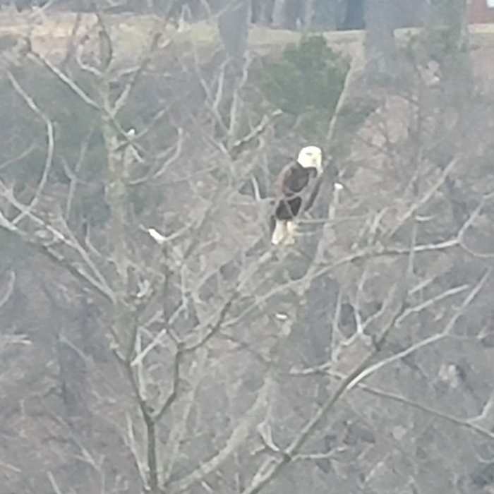
Near Lock Haven Levee Trail
Bald eagle seen from the levee trail.

Looking for more photos?

View All Photos
View Map
Driving Directions
Hike Trail
Buy NowView in 3D

Lock Haven Levee Trail

4.0 (1 Rating)
Easy trail with views of both the City of Lock Haven, and the Susquehanna River.
2.4
mi
Distance
71
ft
Gain
easy
Difficulty
ADA AccessibleBirdingFishingHistoricalRiver/CreekViews

Route Details

Flatter
Steeper
2.45mi
Distance
71ft
Elevation Gain
75ft
Elevation Loss
6°
Max Slope
577ft
High Point
544ft
Low Point
Path Type
Point to Point
Description
A nice elevated trail with a parking lot on either side that allows for almost a 5 miles down and back trip. The trail is completely paved the entire way, there will be a couple times that you take a ramp down toward the water's edge and back up, but it's a very easy incline.

Route Conditions

Report Conditions
No Condition Reports
Report Conditions

Nearby Hike Routes

Castenea Boulder Field Loop

Hike Route

Castenea Boulder Field Loop

Birding
strenuous
6.8 mi
+2,158 ft
Overlook Loop

Hike Route

Overlook Loop

Birding
moderate
1.93 mi
+312 ft
Skirting Rabbit Mountain Loop

Hike Route

Skirting Rabbit Mountain Loop

Views
strenuous
7.37 mi
+964 ft
Heisley Valley Road To and Fro

Hike Route

Heisley Valley Road To and Fro

Less Crowded
moderate
9.5 mi
+1,102 ft
Poe Paddy Tunnel Trail

Hike Route

Poe Paddy Tunnel Trail

Views
easy
0.85 mi
+254 ft
Golden Eagle Trail

Hike Route

Golden Eagle Trail

Fall Colors
strenuous
8.93 mi
+2,364 ft
Contributors
Alex Moldovan
