Ready to explore this trail?
View Trail Map in AppPath Type
There and Back
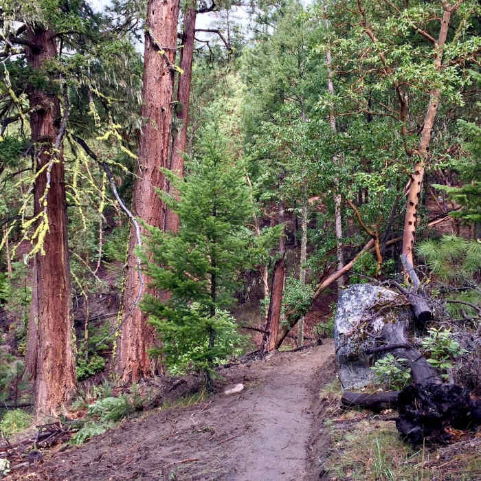
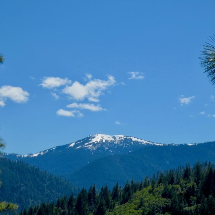
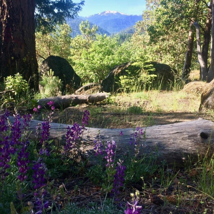
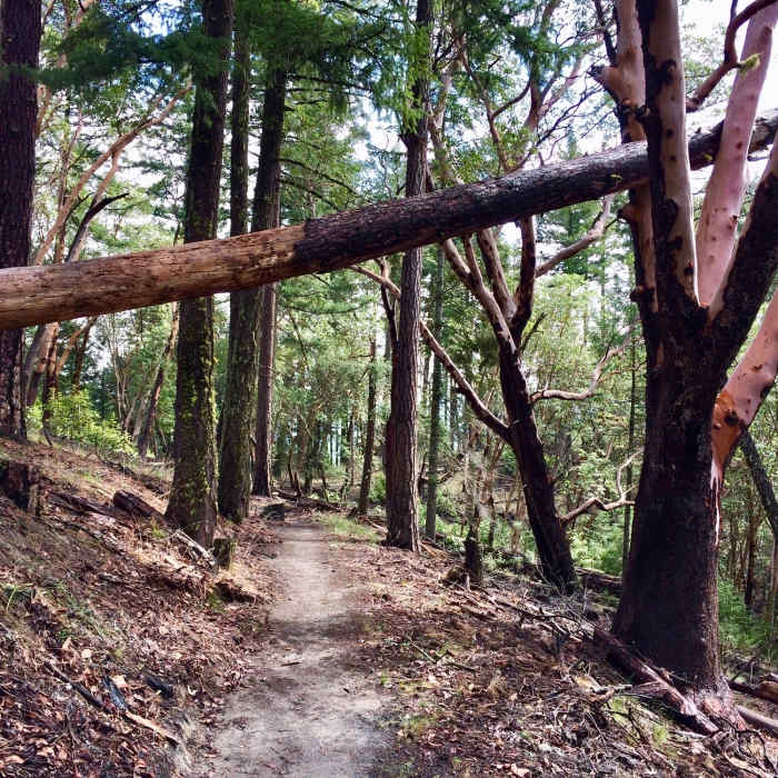
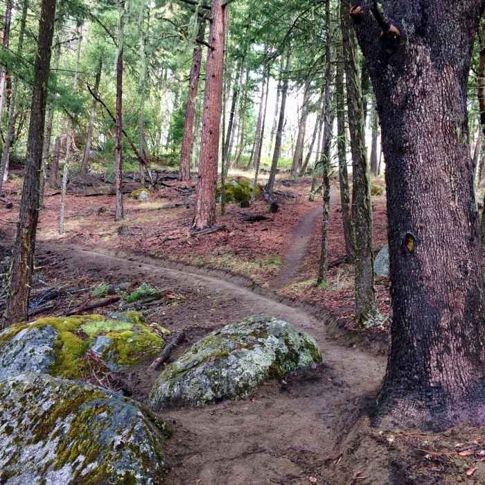
This is an easy and quick drive from downtown Ashland to the trailhead. The hike offers moderate inclines and is well maintained year round. There may be patches of snow in the winter, especially the higher up you go. The trail starts at around 2200 ft and ascends to approximately 3400 ft, making this a 1200 ft climb.Park at the upper end of Lithia Park. Hike about 1.6 miles up FS Road 2060 (Ashland Loop Road) to the beginning of the Wonder Trail. This route ends at the intersection with the Fell on Knee Trail (about 1.5 miles from the intersection). One way it is about 3.2 miles. The full trip is 6ish miles.
No Condition Reports
Bull Gap to Wrangle Gap
Bull Gap to Wrangle Gap
Grizzly Peak Loop Trail
Grizzly Peak Loop Trail
Mount Ashland Meadows
Mount Ashland Meadows
Pacific Crest Trail: Oregon Section B - Highway 5 to Highway 140 (near Fish Lake)
Pacific Crest Trail: Oregon Section B - Highway 5 to Highway 140 (near Fish Lake)
Green Springs Loop
Green Springs Loop
Sterling Mine Ditch Trail From Deming Gulch
Sterling Mine Ditch Trail From Deming Gulch
Contributors

