Ready to explore this trail?
View Trail Map in AppPath Type
Point to Point
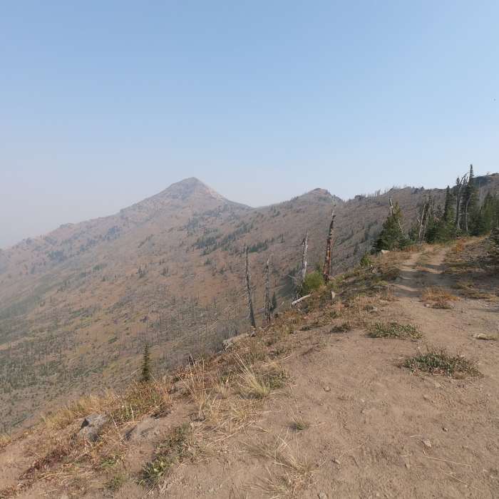
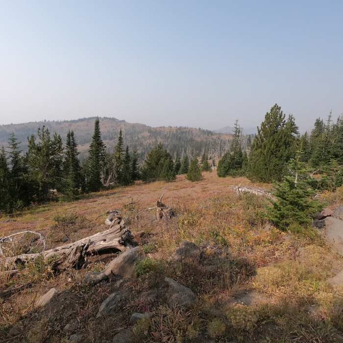
Starting at Road's End trailhead, this trail can be used to summit Strawberry Mountain using a much easier route than the more popular route from Strawberry Lake. This route also provides views of the Indian Creek drainage on Strawberry Mountain's west side as well as the Onion Creek drainage on it's east side.Starting at Road's End trailhead (which is not actually at the road's end), this trail (#201) follows an old road to a junction with Onion Creek Trail #368. From there, follow the Onion Creek Trail #368 north to an intersection with Summit Trail #5002 to finish at Strawberry Mountain's summit. Compared to the Strawberry Lake to Strawberry Mountain hike, this route is shorter (3.6 miles vs. 6.3 miles) with less elevation gain (1,200 ft. vs. 3,300).The road to the trailhead is an excellent all-weather gravel road.
No Condition Reports
Strawberry Mountain via Roads End Trail
Strawberry Mountain via Roads End Trail
High Lake and Slide Lake Overlook
High Lake and Slide Lake Overlook
Slide Lake via High Lake
Slide Lake via High Lake
Strawberry Mountain Wilderness Loop
Strawberry Mountain Wilderness Loop
Strawberry Mountain via Strawberry Lake
Strawberry Mountain via Strawberry Lake
Slide Lake via Strawberry Lake
Slide Lake via Strawberry Lake
Contributors

